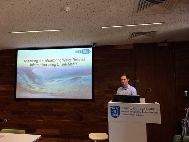
Helps you work with user generated data in your water and development projects. Incl. Twitter, Instagram, Blogs, News Articles and other online content
Join us in our efforts to support natural disaster management: Participate in the MediaEval 2019 Multimedia Satellite Task: Flood Severity Estimation. Develop algorithms to analyze news (images/text) and/or satellite images. @DFKI@floodtags@CLSRadboud https://t.co/5TZUIiemK9
Happy that we could support this together with @preparecenter@nature_org@esri: Nature 4 Climate: Find out how governments, business, communities & nature are coming together to mitigate 10 gigatonnes of CO2 by 2030. https://t.co/IhjtWZPjsv
Social media is not the solution but a useful supportive tool for providing additional info pre- and post- disaster. @floodtags uses social media with existing data sets and maps to understand floods @jens_debruijn #UR2018
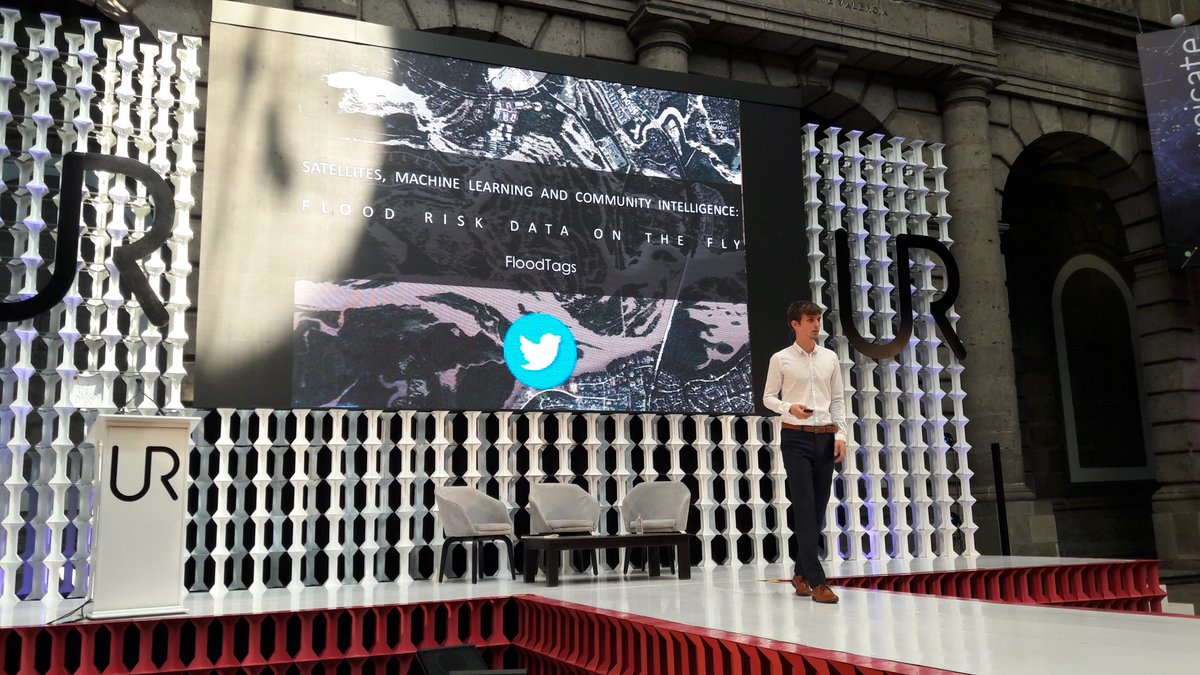
This is a cool use of Twitter! Global Flood Detection & Monitoring using Social Media - A tool for disaster response & validation of #flood risk models. From @jens_debruijn @FloodTags#UR2018
Panel discussie waterdreigingen en oplossingen gemodeerd door @tracymetznrc met Suzanne Hulscher @UTwente Karin Sluis @WitteveenBos Daniël Goedbloed @Rainproof020 Jurjen Wagemaker @FloodTags in @OBAmsterdam