Day 5 Convective Outlook
1100 AM EDT Thu Jul 06 2023
DISCUSSION
Models continue to show the potential of a strong front forming with large amounts of precipitation. This storm will track southeastwards as it produces damaging winds and potentially flash flooding.
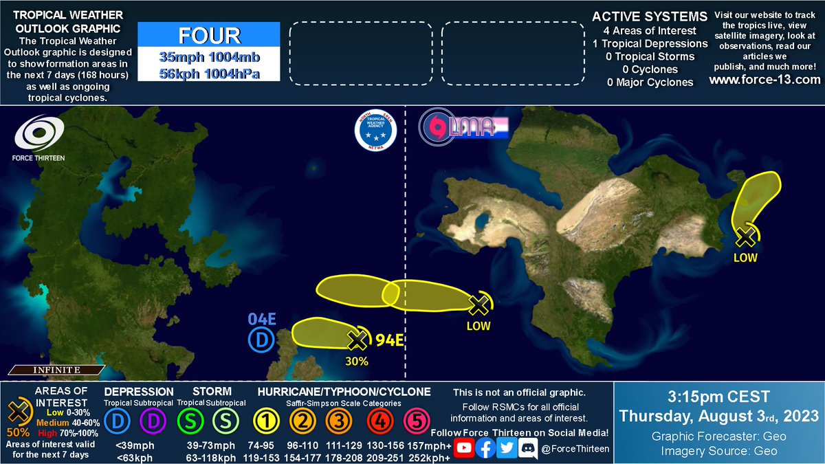
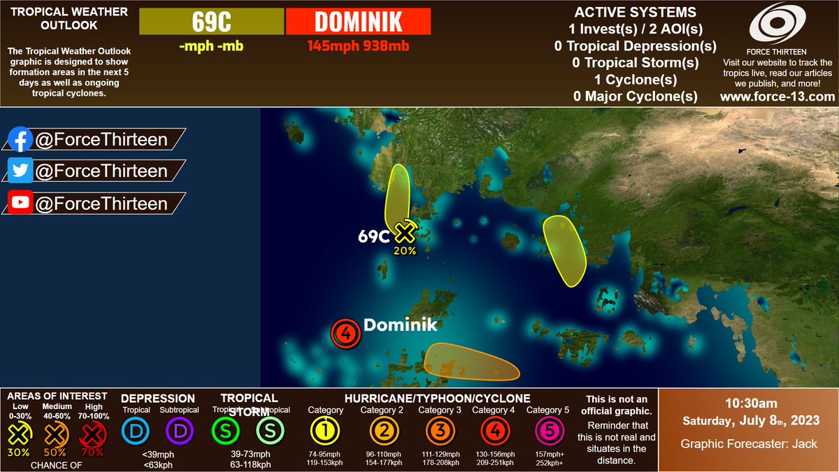
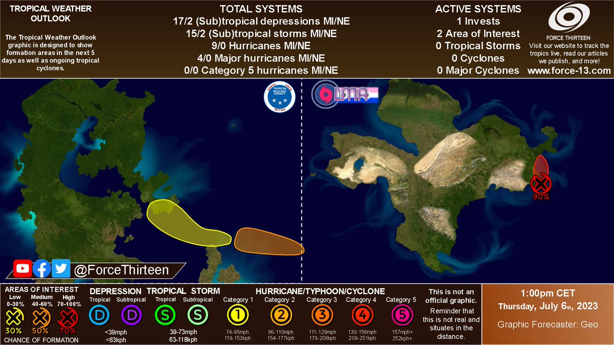
Our hypothetical outlook of our 2 basins Miseo and North Eren of the day. It all starts with an invest ready to develop into a tropical cyclone, agencies are scared that this might bop as a big one, potentially.. On the other side in North eren, we have double area of interests.
AOI developing in Miseo, late season.
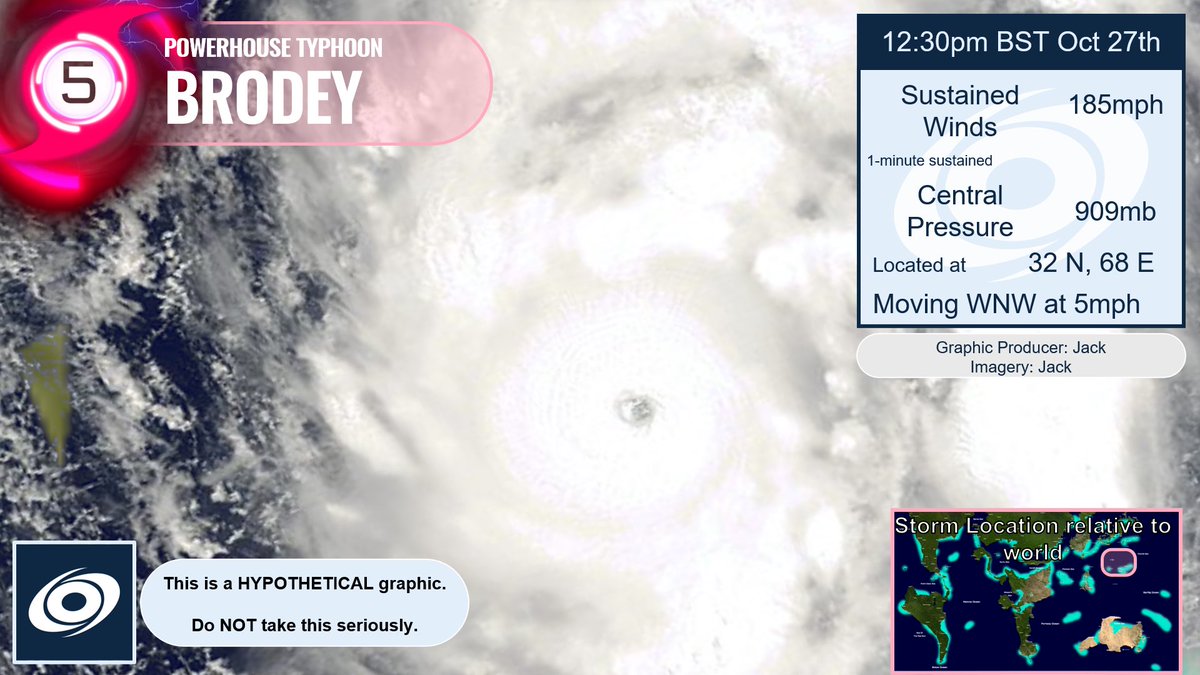
Models indicate TS to H development. Two models have it reaching MH winds, one as a H and one as a rather destructive Windstorm. If this verifies, this could be one of the northernmost major storms history. Next name is Jharon