Mapping beyond the capital matters🌏
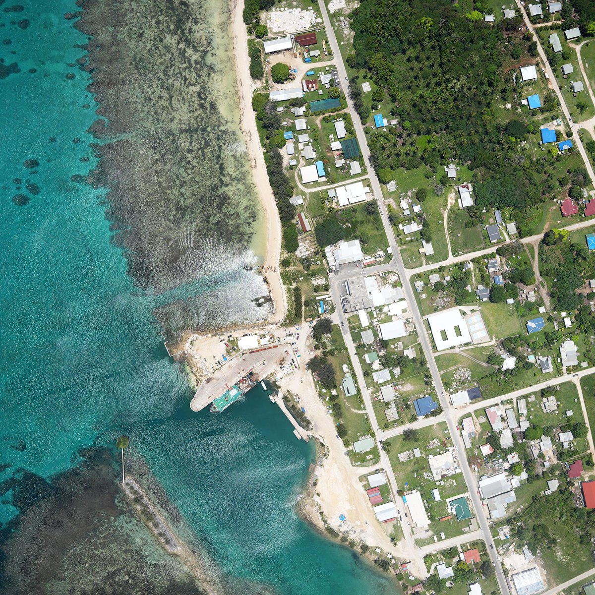
Aerial image shows the Pangai, Ha'apai ferry terminal—a vital link connecting Tonga's outer islands. Expanding accurate mapping across the archipelago supports planning and disaster resilience.
https://t.co/4Gnr0O2EiV
#PLACEdata#Tonga#Haapai
A nadir aerial view of Veitongo Beach, Tongatapu, provides a vital baseline for tracking coastal erosion and supporting climate adaptation with open, high-accuracy mapping. 🌊📍
Learn more: https://t.co/4Gnr0O2EiV
#PLACEdata#Tonga#ClimateAdaptation#CoastalMonitoring#OpenData
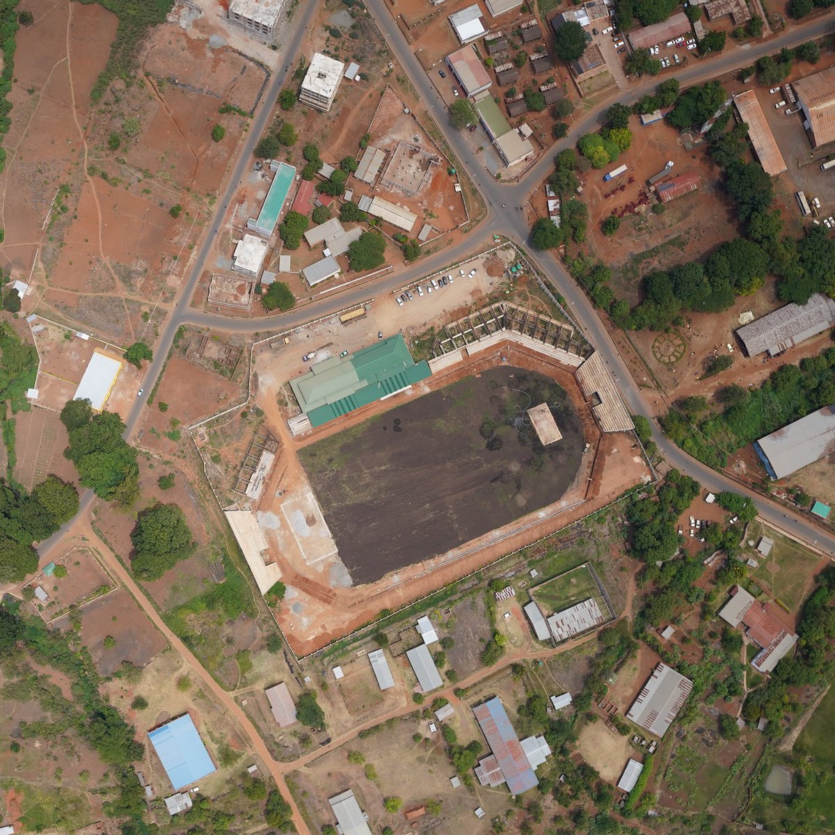
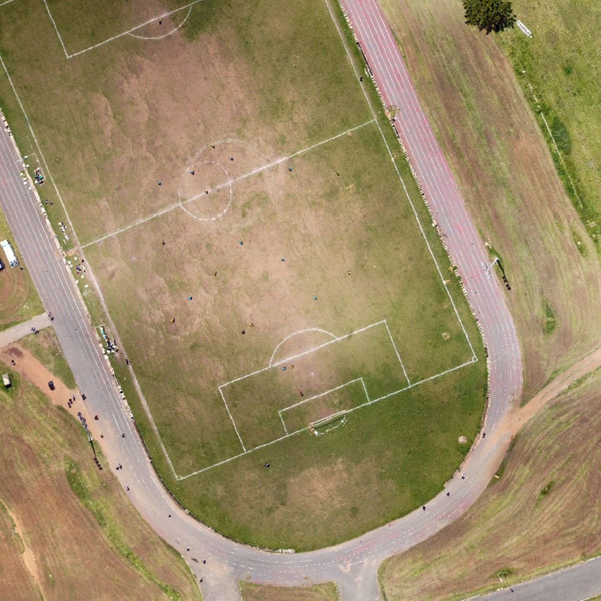
The World Cup is football’s biggest stage—but every journey starts somewhere. 🌍⚽
From Côte d’Ivoire and Nigeria to Malawi and Liberia,
PLACE captures football through high-resolution aerial and street-level imagery.
Every field has a story.
#PLACE#WorldCup#Football#Africa
The World Cup proves football thrives everywhere. We’re mapping community pitches in Cabo Verde, Turks and Caicos, Anguilla, Tuvalu, Saint Vincent, Tonga, and beyond with aerial & street-level imagery. ⚽ Small islands. Big football culture. #WorldCup#Football#PLACE#Geospatial
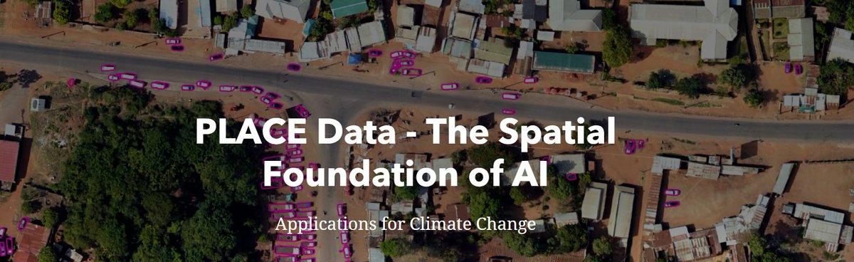
AI has a geography problem—and better data is the solution. Models trained on limited regions don't always generalize globally. Our CTO, Waddah Hago, explains why representative geospatial data is key to building AI that works everywhere. https://t.co/5CqS7uyhhD
#AI#GeospatialAI
Vuna Wharf, Nukuʻalofa-Tonga’s main gateway for cruise ships and cargo, now mapped in stunning high-res detail. Data like this supports coastal monitoring and smarter infrastructure planning
Tongatapu, Tonga|@ThisIsPLACE#Tonga#Nukualofa#DroneMapping#OpenData#PacificIslands
As we witness horrific scenes in El-Fasher, the UAE continues arming the RSF — which the U.S. has determined is committing genocide.
Enough. We must pass my bill to block arms sales to the UAE until it stops fueling the RSF's war crimes in Sudan. https://t.co/9aG76trXqT
Hey @WeWork how is it that you "close" and office, locking people out from computers, keys, etc, then have the staff not respond to emergency email/ phone contacts for an hour? Guess I'll keep the door open in the Lobby here at The Wilson
'The initiative opens opportunities to adopt agroforestry & equitable ecologically sustainable farming on land where individual forest rights are recognized utilizing expedited mapping supported by @CadastaOrg'
@prchoudhury of @Center4Land
https://t.co/UWcMWjMwvX
🧩There is an incomplete picture of the global state of DPI.
To fill this gap, IIPP has launched the DPI Map which allows users to explore the digital systems that are reshaping public service delivery around the world.
🔗Read more here: https://t.co/Z7onTHcU9D
While the PLACE team isn't attending the Global Digital Public Infrastructure Summit in Cairo this week - I'm glad we could contribute in the way we do best.... by creating a map. Take a look at the interactive map of national progress with critical #DPI https://t.co/CEtTyJdlqM
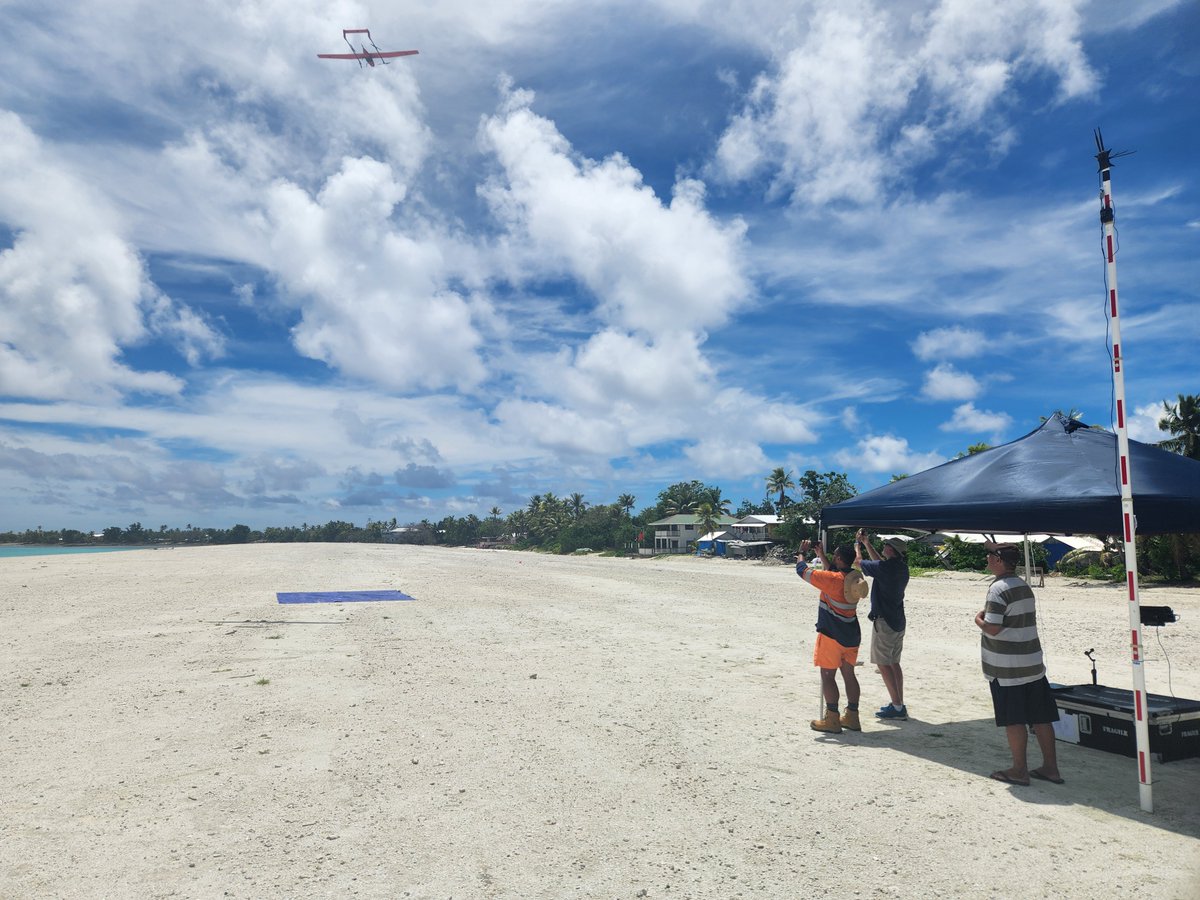
#Tuvalu is leading the way with high-resolution mapping to combat #climate change! SPC's Digital Earth Pacific programme @DEarthPacific and @ThisIsPLACE provided data and information that Tuvalu can use in its digital twin efforts!
Read more:
https://t.co/Q8vIWbvprS
From #urban centres in Africa, to island wide coverage in small island states, we've had a great year of data collection for the @ThisIsPLACE Community. Streetview imagery is now up for use by our members - find out more https://t.co/C4Bma6FfYo
The impact #AI is having on the #mapping sector when high quality base data is available can't be overstated. Check out how some of our national partners are applying #ML to PLACE data in an effort to address #climatechange challenges https://t.co/9TcdsIpRWS