

Top Tweets for #GeospatialAI

Join BVIEER’s Online Winter Bootcamp on 12–13 December, 2–5 PM, and explore four exciting fields: Sustainability, Geospatial AI, Climate Data Modelling and Wildlife Science.
Register now: https://t.co/y7XwOmYN2b
#WinterBootcamp #BVIEER #GreenCareers #GeospatialAI #ClimateData


How can AI agents better understand location? @Esri’s Ismael Chivite talks with @xyHt about the role of GIS, MCP, and human oversight as agentic AI evolves. #GeospatialAI #GIS https://t.co/AGqEvl8z0D

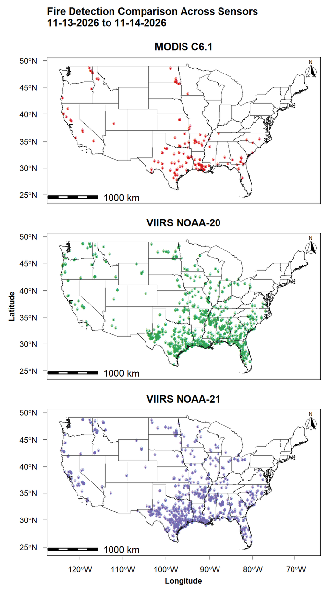
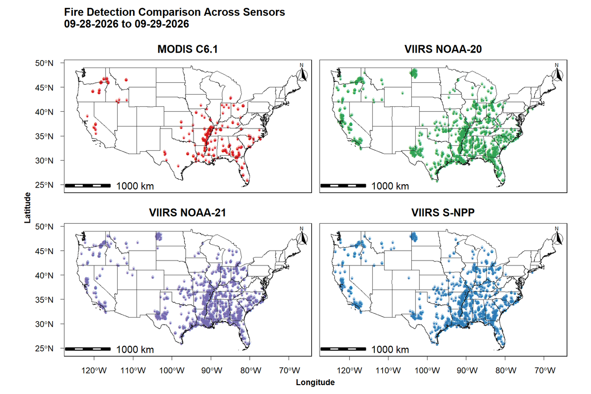
Satellite-Based Fire Detection: MODIS vs. VIIRS Sensors #Wildfire #ClimateChange #RStats #DataVisualization #FireEcology #GeospatialAI #RemoteSensing #MachineLearning #ForestMonitoring #EarthObservation #GIS


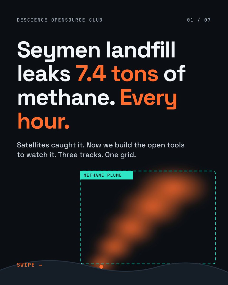
An Open project for you (students). Comment your favourite project, we can find you a team.
Let's do some real world projects.
#DescienceOpensourceClub #OpenSource #GeospatialAI #IoT #ClimateTech #StudentDevelopers


Computer Vision and Artificial Intelligence in Drone and Satellite Imagery. Tutorial Link: https://t.co/eJ8Xu1EOLw
#GeospatialAI #GeoAI #DeepLearning #ComputerVision #RemoteSensing #GIS #GoogleEarthEngine #Python #SatelliteImagery #DroneMapping #ArtificialIntelligence


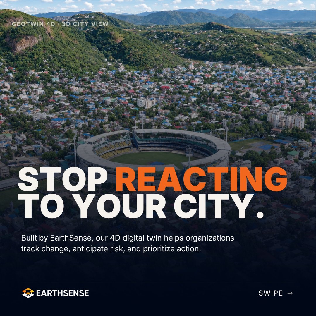
We've launched GeoTwin 4D.
Our in-house 4D digital twin platform fuses satellite and ground data with scientific models, so organisations can track change, anticipate risk, and prioritise action to protect their assets.
#GeoTwin4D #DigitalTwin #GeospatialAI



📢 Call for Papers in Remote Sensing!
Special Issue: "AI-Driven Hyperspectral and Multimodal Remote Sensing for Agriculture and Vegetation Monitoring" 🌱🤖
📅 Deadline: 30 June 2027
🔗 https://t.co/hzj8zrni5U
#RemoteSensing #GeospatialAI #Hyperspectral #PrecisionAgriculture


Aerial intelligence meets geospatial AI.
We welcome TerraQuery-AI to ideaForge, bringing #GeospatialAI expertise into our #AerialIntelligence portfolio. This partnership strengthens our capabilities across aerial #DataCollection and #Analysis, advancing more integrated intelligence solutions that help users make faster, better-informed decisions.

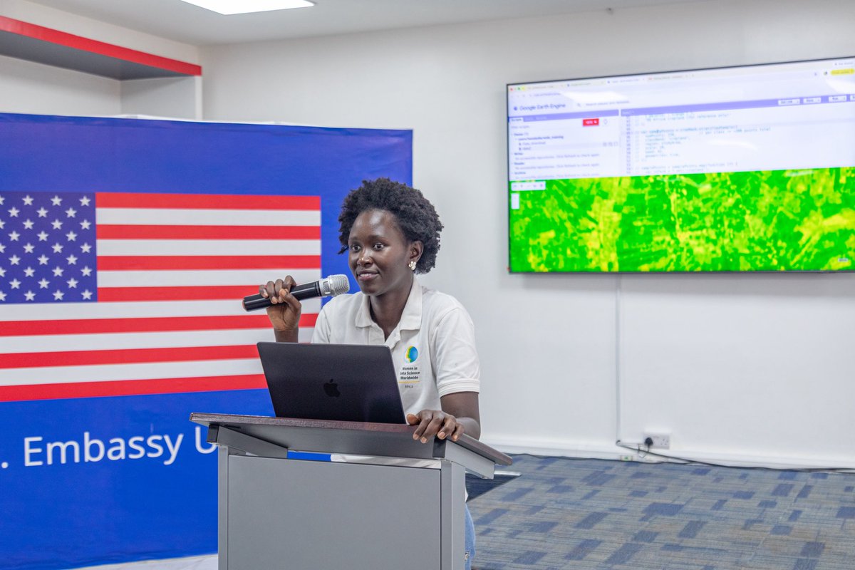
Lydia Tasia brought geospatial AI to life at WiDS Uganda 2026, guiding participants through using satellite imagery to identify cropland.
Read our reflections: https://t.co/za2zsyvqkN
#WiDSUganda2026 #GeospatialAI


Satellite-Based Fire Detection: MODIS vs. VIIRS Sensors #Wildfire #ClimateChange #RStats #DataVisualization #FireEcology #GeospatialAI #RemoteSensing #MachineLearning #ForestMonitoring #EarthObservation #GIS


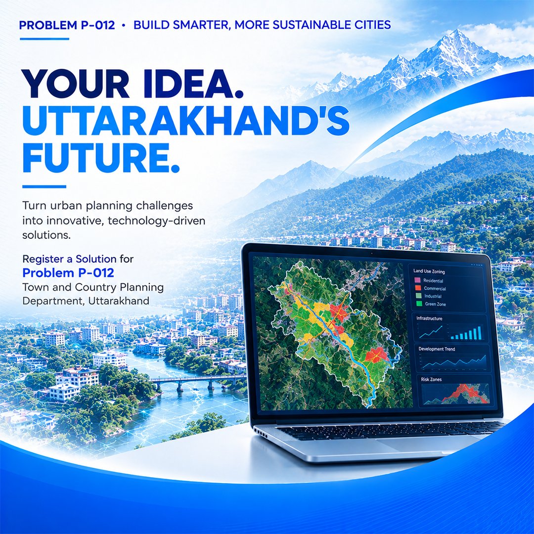
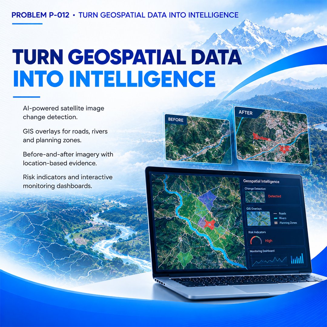
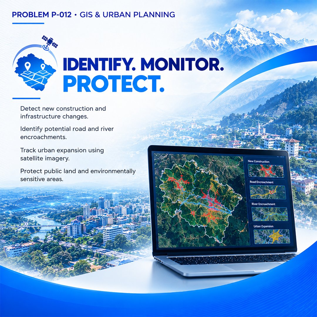
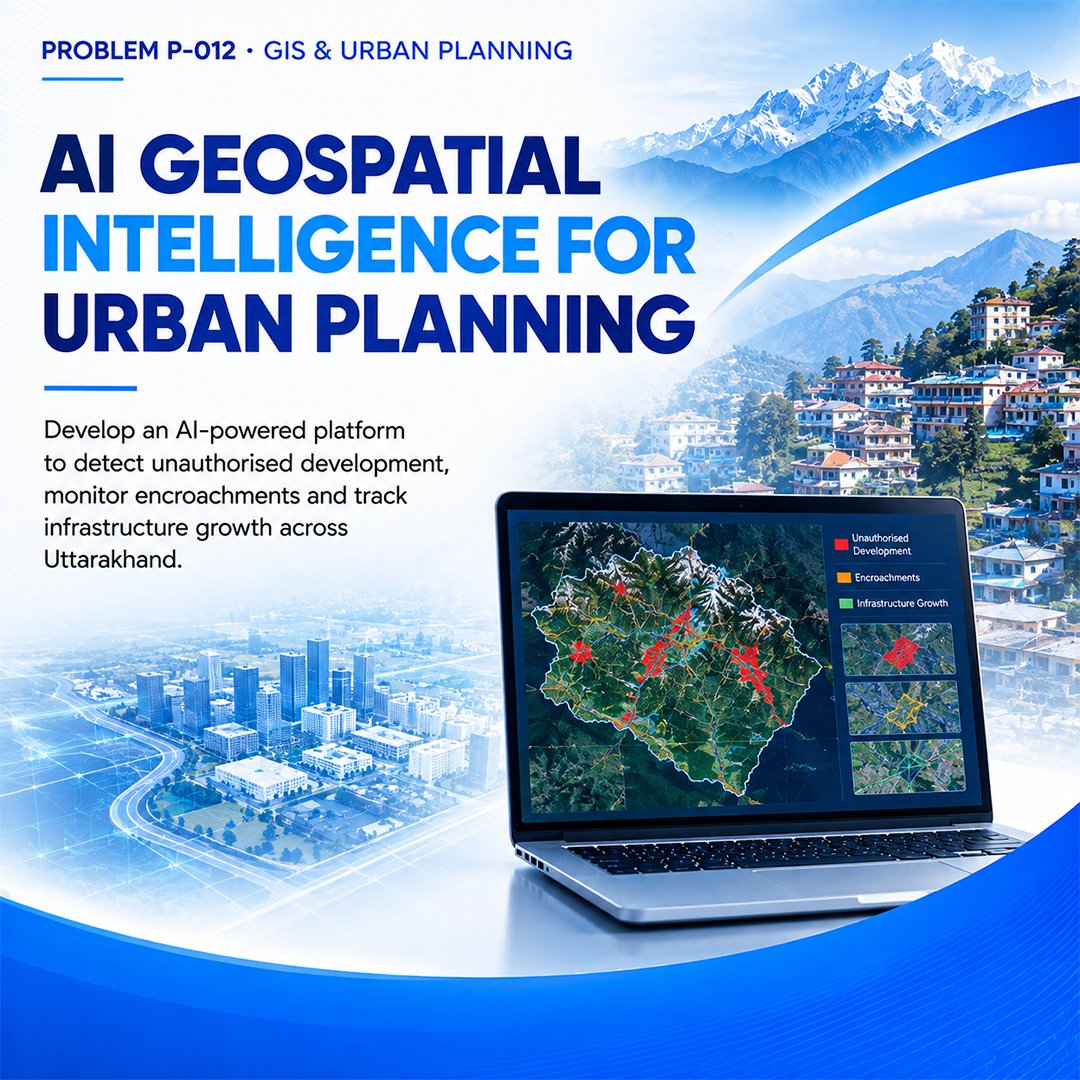
Smarter Cities Start with Smarter Data!
UKIS Problem P-012 challenges innovators to use AI + GIS to monitor urban growth, detect encroachments and support sustainable planning.
Build for Uttarakhand's future!
#UKISHackathon #GeospatialAI #SmartCities #uttarakhand

Maps tell you where things are.
Synaphy tells you what changed.
Capture. Understand. Verify.
#synaphy #futuretech #smartcities #geospatialai #computervision #mobilityintelligence #smartinfrastructure
Satellite-Based Fire Detection: MODIS vs. VIIRS Sensors #Wildfire #ClimateChange #RStats #DataVisualization #FireEcology #GeospatialAI #RemoteSensing #MachineLearning #ForestMonitoring #EarthObservation #GIS
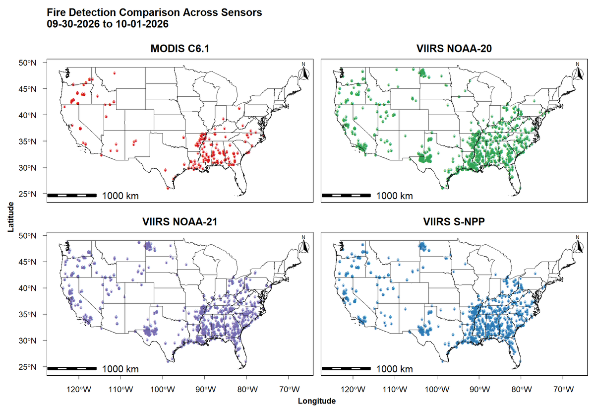
Satellite-Based Fire Detection: MODIS vs. VIIRS Sensors #Wildfire #ClimateChange #RStats #DataVisualization #FireEcology #GeospatialAI #RemoteSensing #MachineLearning #ForestMonitoring #EarthObservation #GIS

Urban heat islands are a solvable data problem: this piece shows how to combine free satellite imagery, standard remote-sensing indices,and a gradient boosting
#geospatialai #spatialdataanalytics...Show more

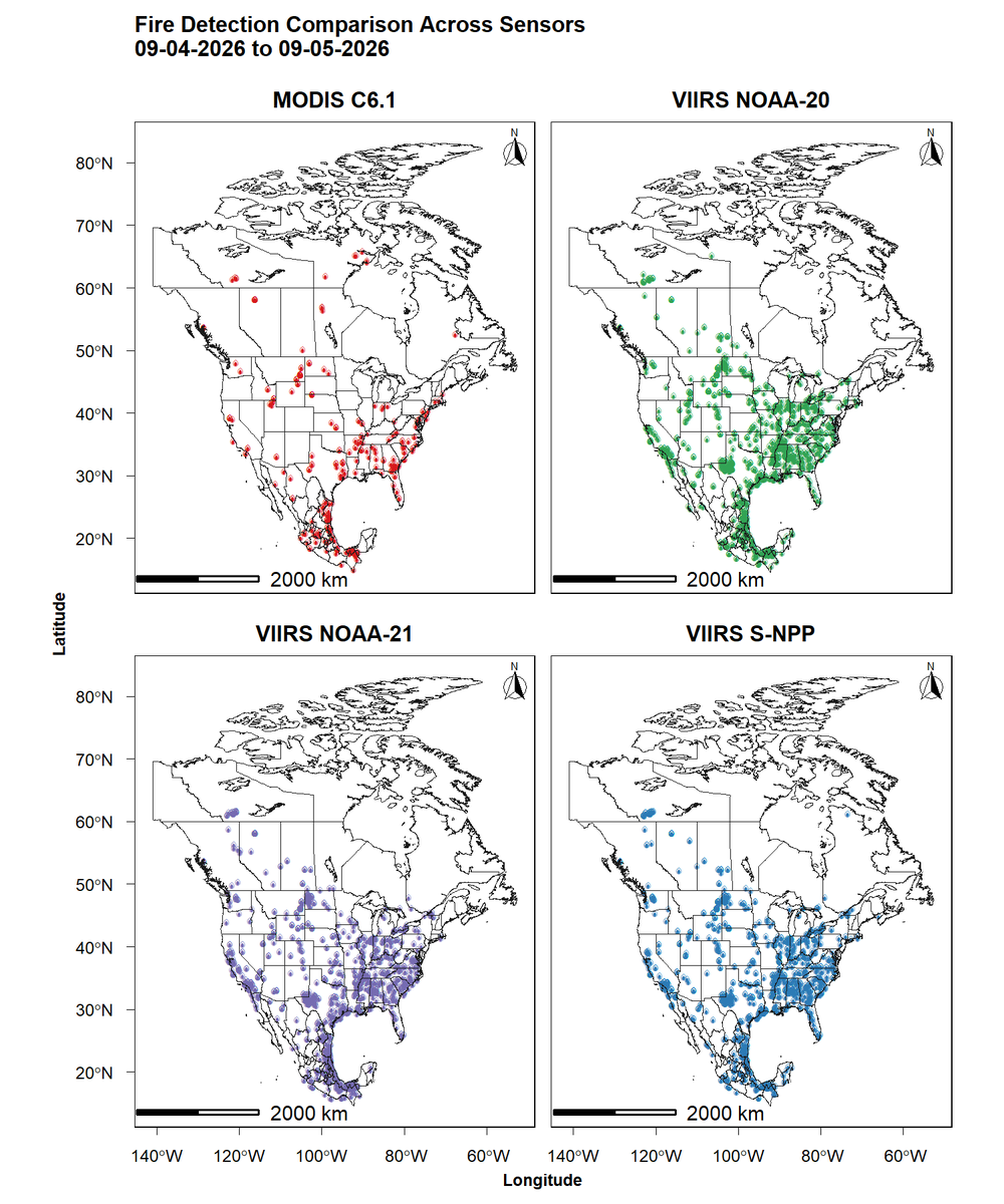
Satellite-Based Fire Detection Across Europe: MODIS vs. VIIRS Sensors #Wildfire #ClimateChange #RStats #DataVisualization #FireEcology #GeospatialAI #RemoteSensing #MachineLearning #ForestMonitoring #EarthObservation #GIS


The exciting part? Change detection + Geospatial AI could move us from simply seeing Earth to understanding how it is changing.
Lots of interesting R&D possibilities ahead. 🤖🌍
#AI #ComputerVision #SatelliteImagery #GeospatialAI #RemoteSensing
Satellite-Based Fire Detection Across Europe: MODIS vs. VIIRS Sensors 🛰️📷 #Wildfire #ClimateChange #RStats #DataVisualization #FireEcology #GeospatialAI #RemoteSensing #MachineLearning #ForestMonitoring #EarthObservation #GIS
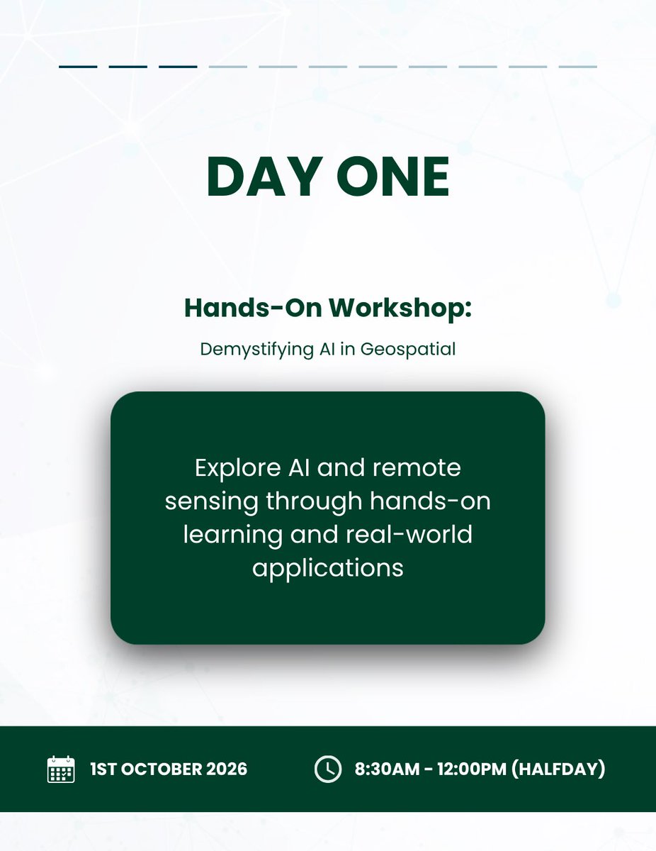
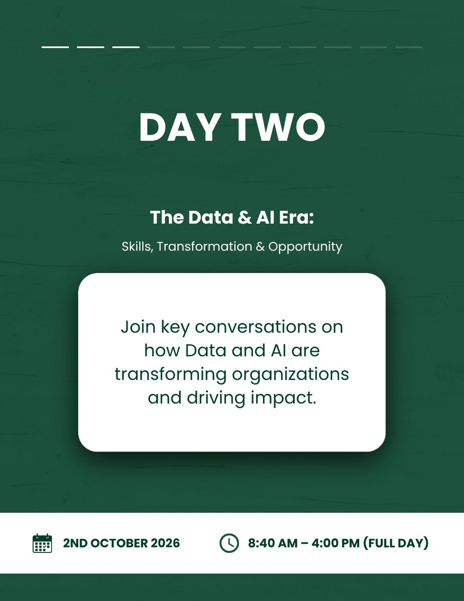
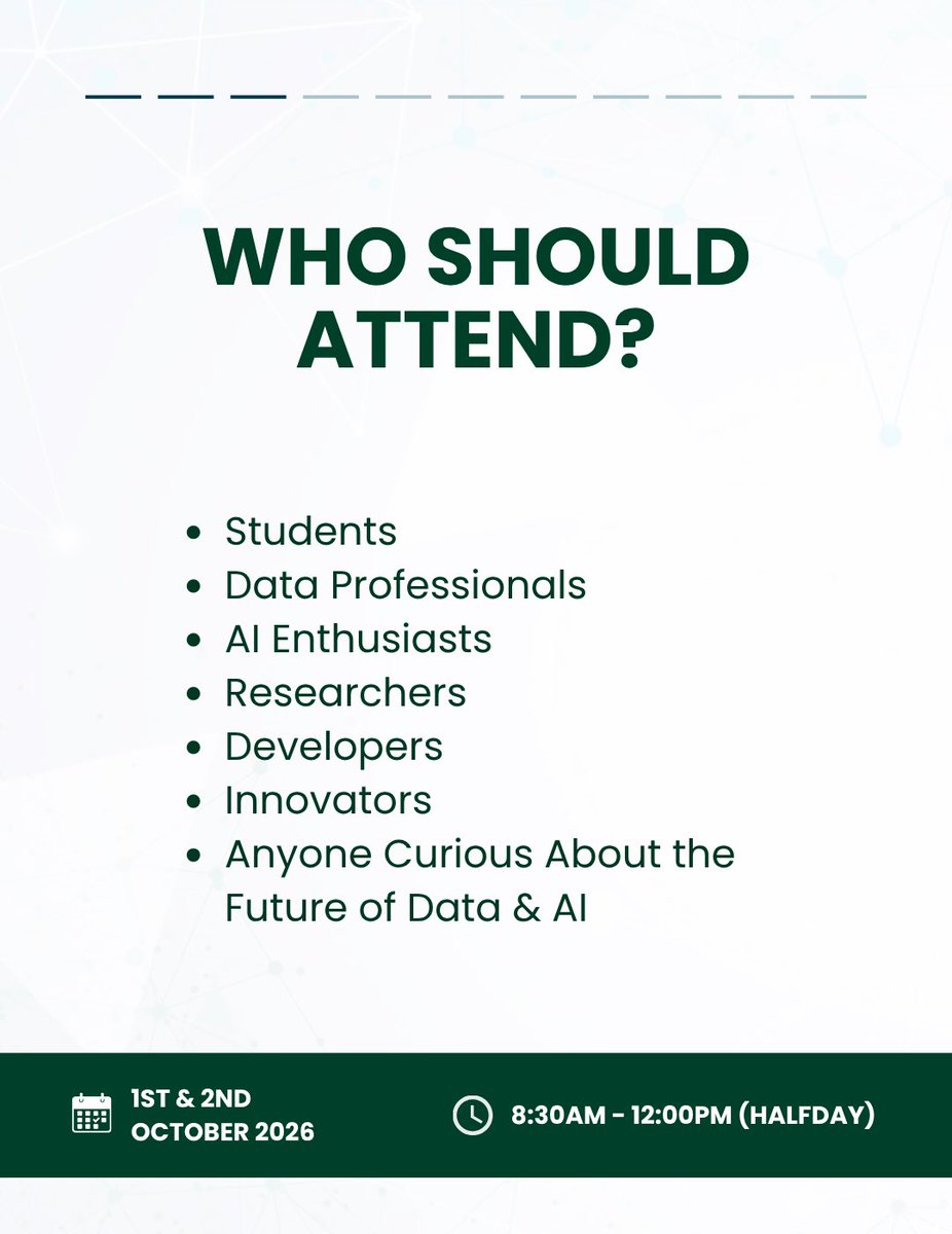
We’re bringing you two power-packed days of learning and leadership this October! Day 1 features hands-on AI training, while Day 2 brings inspiring panels and networking. Swipe to see what’s in store, then tap the link to register!
#WiDS2026Uganda #GeospatialAI #DataScience

Last Seen Hashtags on Sotwe
raceplay
Seen from India
DelhiTutors
Seen from United States
Syndra
Seen from Mexico
พิษณุโลกนัดเจอ
Seen from Thailand
trans wife
Seen from United States
AchaVijayaBasker
Seen from United States
HelluvaBossLin
Seen from Thailand
مهرة_بن_حيدان
Seen from Saudi Arabia
novinha(**************************)
Seen from Turkey
นัดเย็ดomi
Seen from Thailand
Trends for you
Most Popular Users

Elon Musk 
@elonmusk
240.5M followers

Barack Obama
@barackobama
118.7M followers

Cristiano Ronaldo
@cristiano
114.4M followers

Donald J. Trump
@realdonaldtrump
111.8M followers

Narendra Modi
@narendramodi
107M followers

Rihanna
@rihanna
98.7M followers

NASA
@nasa
92.2M followers

Justin Bieber
@justinbieber
91.8M followers

KATY PERRY
@katyperry
90M followers

Taylor Swift
@taylorswift13
84M followers

Lady Gaga
@ladygaga
75.5M followers

Virat Kohli
@imvkohli
73.4M followers

Kim Kardashian
@kimkardashian
70.8M followers

YouTube
@youtube
68.7M followers

Neymar Jr
@neymarjr
66.3M followers

Bill Gates
@billgates
65.2M followers

Selena Gomez
@selenagomez
63M followers

The Ellen Show
@theellenshow
62.1M followers

CNN
@cnn
61.7M followers

X
@x
60.6M followers