@MykolaKozyr@heavy_ai@STACspec That doesn’t cover the authentication bit, however. I guess might turn to python for that, then use it to construct sql and import results in bulk
@MykolaKozyr@heavy_ai@STACspec Two ways. First, using string parsing sql to extract catalog entry item info and centroids to geo points. Second, and with no code, importing Stac catalog items geojson directly as poly layer. As a bonus there, the preview/download links are clickable in Immerse.
@undertheraedar Classic method for static geographies would be just to compress into a single archive such as zip. For arbitrary tiled data behind a web map, “clip and zip” (intersect map bounding box w layers and then compress)
New remote sensing datasets combined with scalable spatiotemporal analytics can help utilities stop wildfires before they start. Read this deep dive blog from @OmniSci's in-house expert @geodesigntech for more. https://t.co/ob28dutejC
@gdaltips Useful to know and could come in handy, but better if we could align as hoc key value pairs to new fangled STAC/geoAPI metadata. Fragmenting metadata by source is problematic, although of course always beats no metadata!
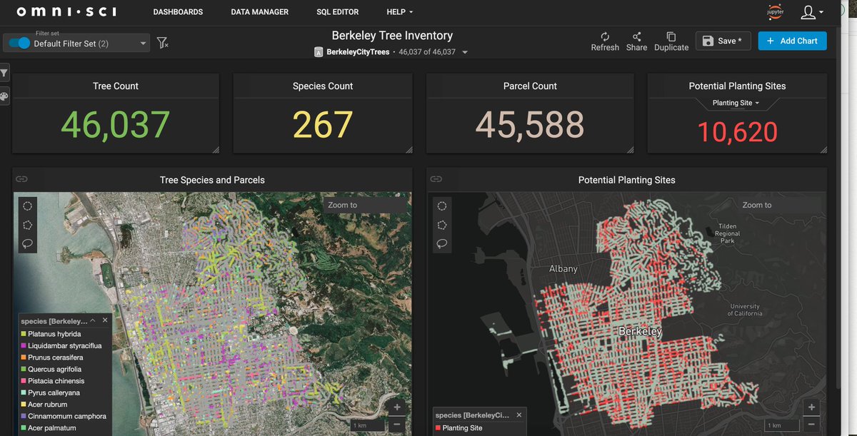
Starting local on the @trillionTreesIn...thanks to Berkeley's open data program, can quickly visualize potential planting locations in #omnisci. Trying to catch up in the #30DayMapChallenge!
@hasty@OmniSci In the geospatial dataverse, we'll likely have double the average ground sample distance, so 4x data there and perhaps 4x temporal update frequency once geoML kicks in. IoT, mobile, ground, drone and public aerial LIDAR (3d point clouds) bigger than that. 5x feels conservative!
@MykolaKozyr@OmniSci It looks almost-rasterlike in source, so most optimal answer where possible would be to use raster source if available. But if not, I'd try intersecting with a regular grid/lattice to break it up.
@MykolaKozyr@OmniSci One issue here is that even GPUs don't deal well with highly-variable polygon vertex counts. Second issue is that bounding box tests fail to exclude much with this kind of poly. One or both issues will make such geometry slow on most any platform.
@deepseadawn@NSF @NSF_OIA SDSS is dead. Long live open SDSS! Also - thanks to this team, proud to finally be working on an @NSF project my mother understands!
@OmniSci@sfbaygeo Thanks. Hope to show some pretty cool interactive geovisualizations and discuss how geogeeks can help solve these critical challenges!
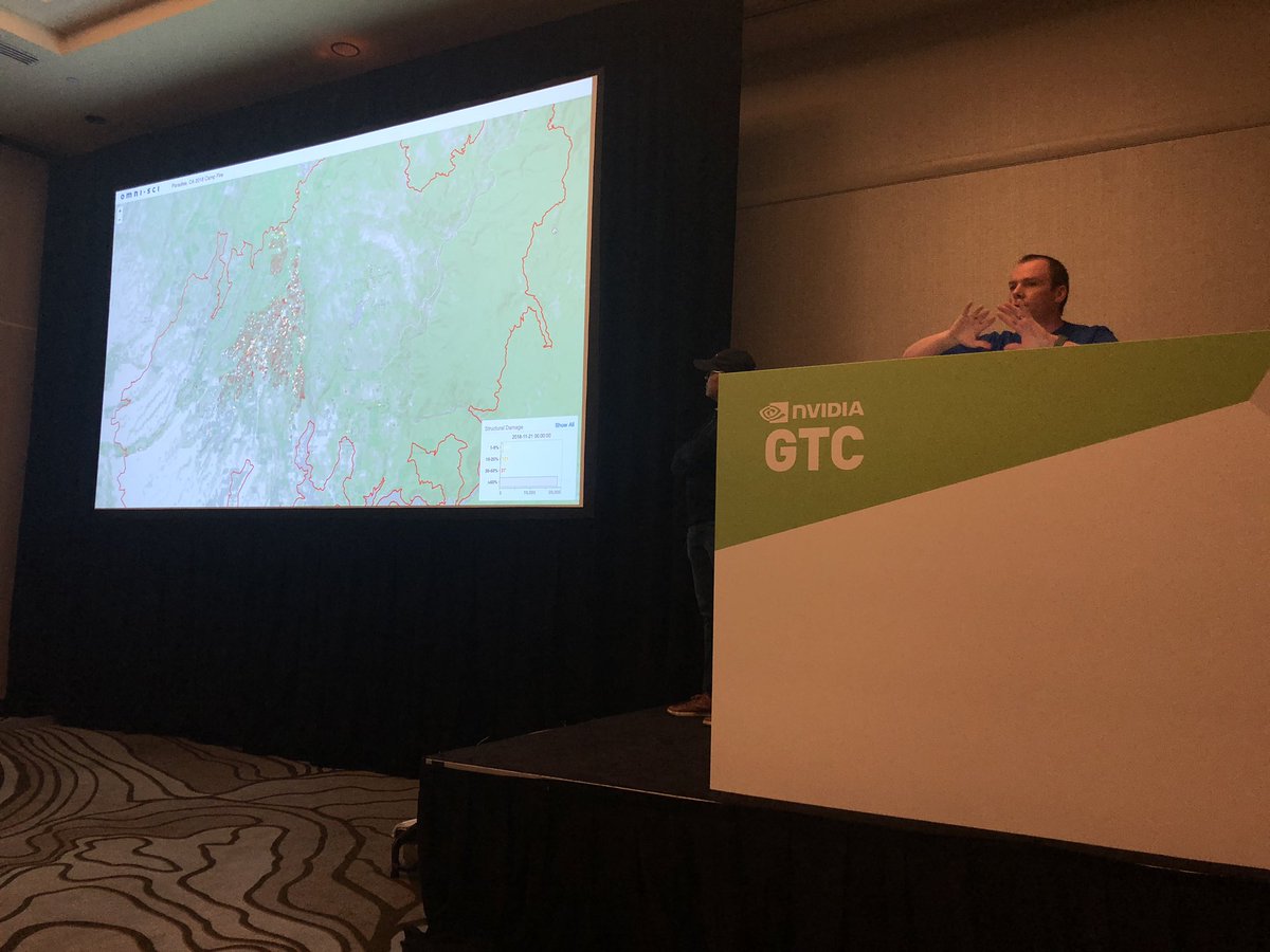
At @NvidiaAI GTC, supporting @OmniSci presenting next-gen wildfire analysis with ML. Interactive dashboards show data from multiple satellites relating defensible space and structure survival