Between conflict and climate change, many factors contribute to global food insecurity. Here's how data within #LivingAtlas can help organizations anticipate and plan for the impacts climate change will bring. https://t.co/wiE6kGk730
There are millions of people who depend on the ocean and coast for their livelihood, from commercial fishermen and to the recreation and tourism industry. A healthy coast is good for the local and national economy. https://t.co/rzhbvqCRYO #OceanAndCoasts50
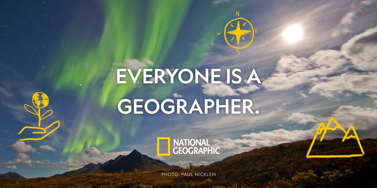
Geographic thinking can be used by learners at any age, in any situation. Discover how to apply these skills with your learners and integrate geography across subject areas in our short online mini-course. https://t.co/EQHnwPb3ls
The UCGIS Symposium 2022 is coming up, June 7-9! Plan your schedule today, and don't miss Esri education team member @josephkerski during the session Communicating Science on June 7 from 1:45pm - 2:45 pm (ET): https://t.co/02MeOJeOOk
The 2022 #EdSummit@EsriUC is fast approaching! One exciting sessions to add to your schedule: Addressing Racial Justice and Social Equity Issues through GIS Education
When: Saturday | 9 July
Time: 2:30 p.m. — 3:30 p.m. (PT)
Details: https://t.co/uV9dJbolCe
GeoEd'22 will be held virtually from June 6-10! There will be many exciting presentations and workshops from the geospatial educator community.
Details: https://t.co/hDTcvLj3bb
In advance of #EverestDay, explore the Everest StoryMap with these tips from T @STEMisMyFuture. "Students can virtually summit Mount Everest, learning about relevant science, technology, and culture along the way." https://t.co/asLA5FDiNc
@GeoMapMAKERS
📸 Mark Fisher
Our future depends on youth ready to address challenges large and small, and teachers are our solution!
Teach with GIS and bring interactive maps to your classroom: https://t.co/MKbkZ3Mor4
"Using this immersive resource, students can virtually summit Mount Everest, learning about relevant science, technology, and culture along the way."
T @STEMisMyFuture unpacks the Everest StoryMap with instructional tips. https://t.co/6ea1WE1dvj
@GeoMapMAKERS
📸 Mark Fisher