We can create a digital twin of Buildings
Features include
✔️ Virtual Walk through
✔️ Take measurements
✔️ Floor plan
✔️ Document & information sharing
Click the link to see all the features
https://t.co/qBkQG9kex4
#wfh#lockdown#sitevisits#property
Find out how geosphere4d can help you with your project requirements.
Contact us today to speak to one of the team
📞 01903 742 222
📧 [email protected]
💻 https://t.co/yeawkbudpA
.
#survey#Engineering
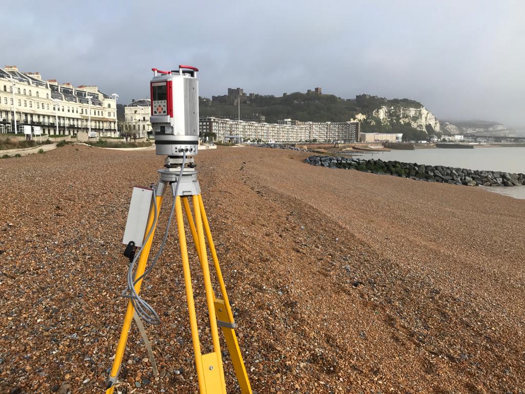
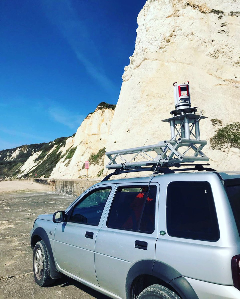
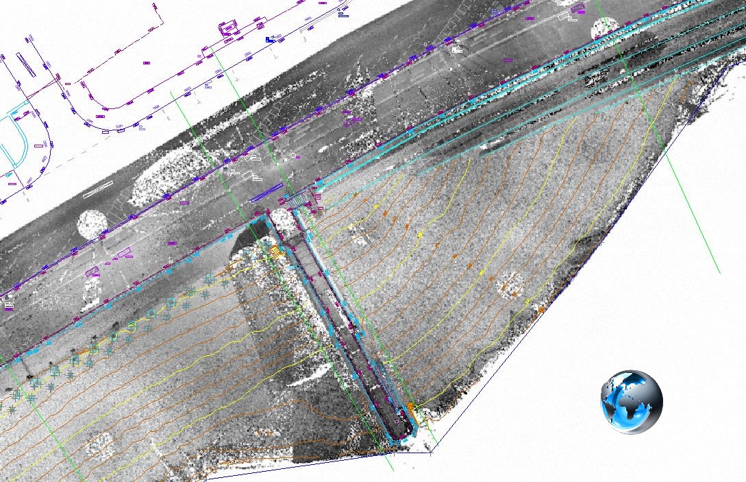
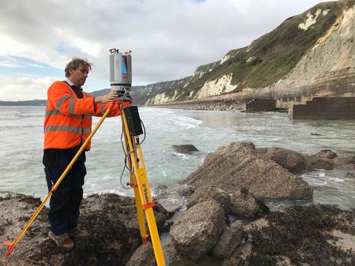
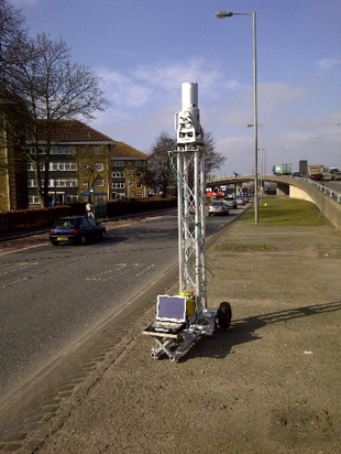
Beach monitoring survey with the Riegl VZ400 laser scanner. The data was processed and analysed in Realworks, with additional feature extraction in N4ce. This combination provides the perfect solution for monitoring analysis, topographic feature extraction, and presentation.
Beach monitoring last week with the Rigel VZ400 laser scanner. Good low tides and lucky with the weather. #beach monitoring #laser scanning #Riegl@RIEGL
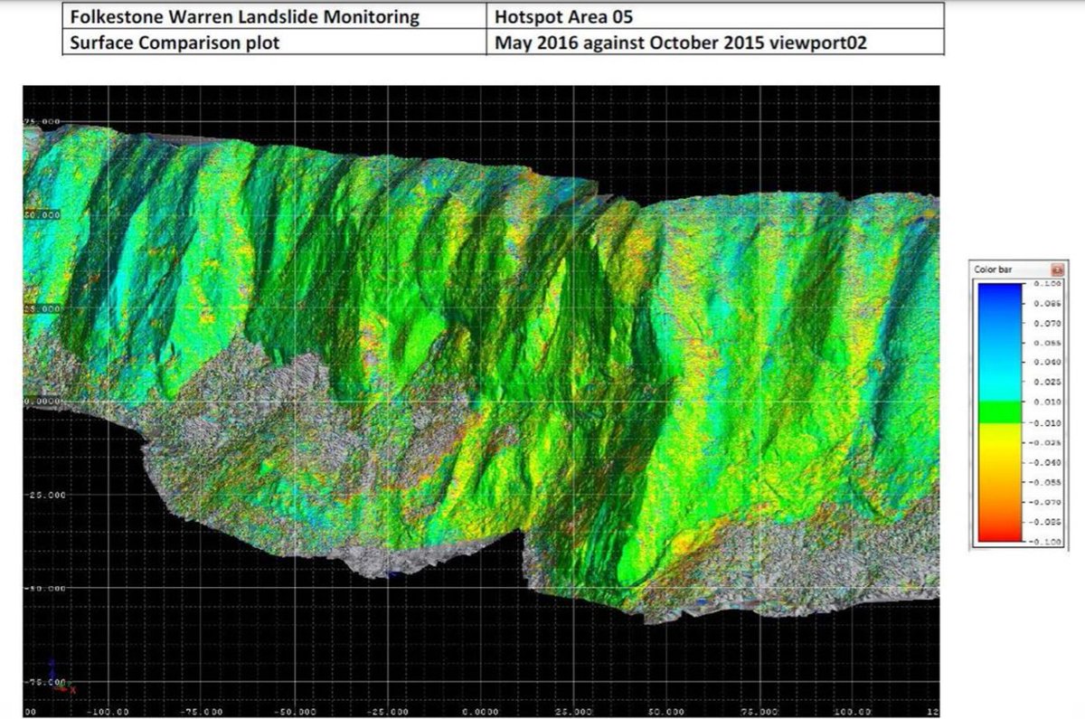
We undertake a lot of coastal and landslide surveys, Folkstone Warren is an ongoing monitoring project. This landslide is approx 3km in length, located between Folkestone & Dover on the #Kentcoast Read more here: https://t.co/IDCfkvjpT6
#UKCoast#landslide#environment#aec
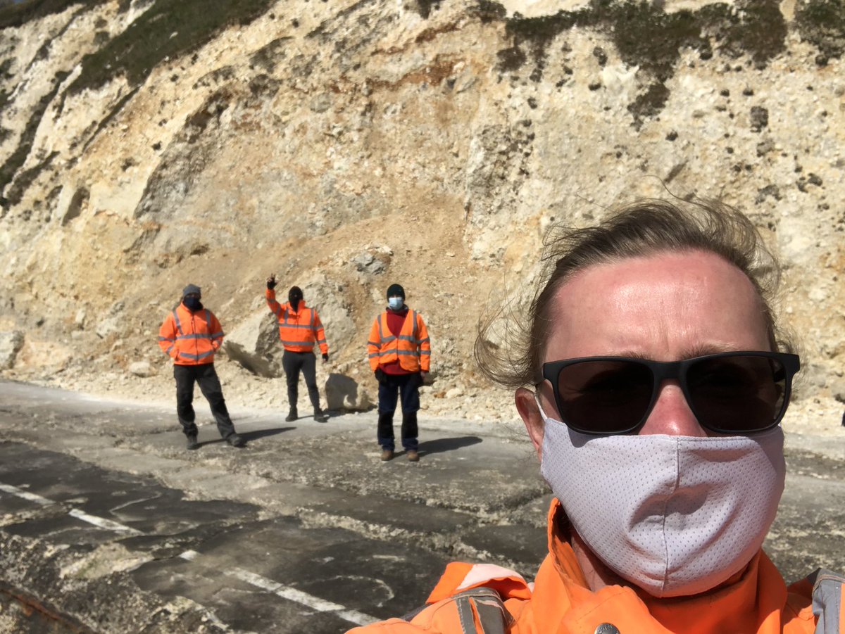
We hope everyone is coping well with the current lockdown.
We're open following government guidance, contact [email protected] directly for quotes & Bookings.
Stay safe everyone & good luck to all the parents working & home Schooling.
From the geosphere4d team ⛄️
Merry Christmas from everyone at geosphere4d.
We had some lovely news to end the year on, our Surveyor Raphael welcomed a beautiful baby girl to the world.
We're open for enquiries over the Christmas period apart from Christmas Day, Boxing Day and New years.
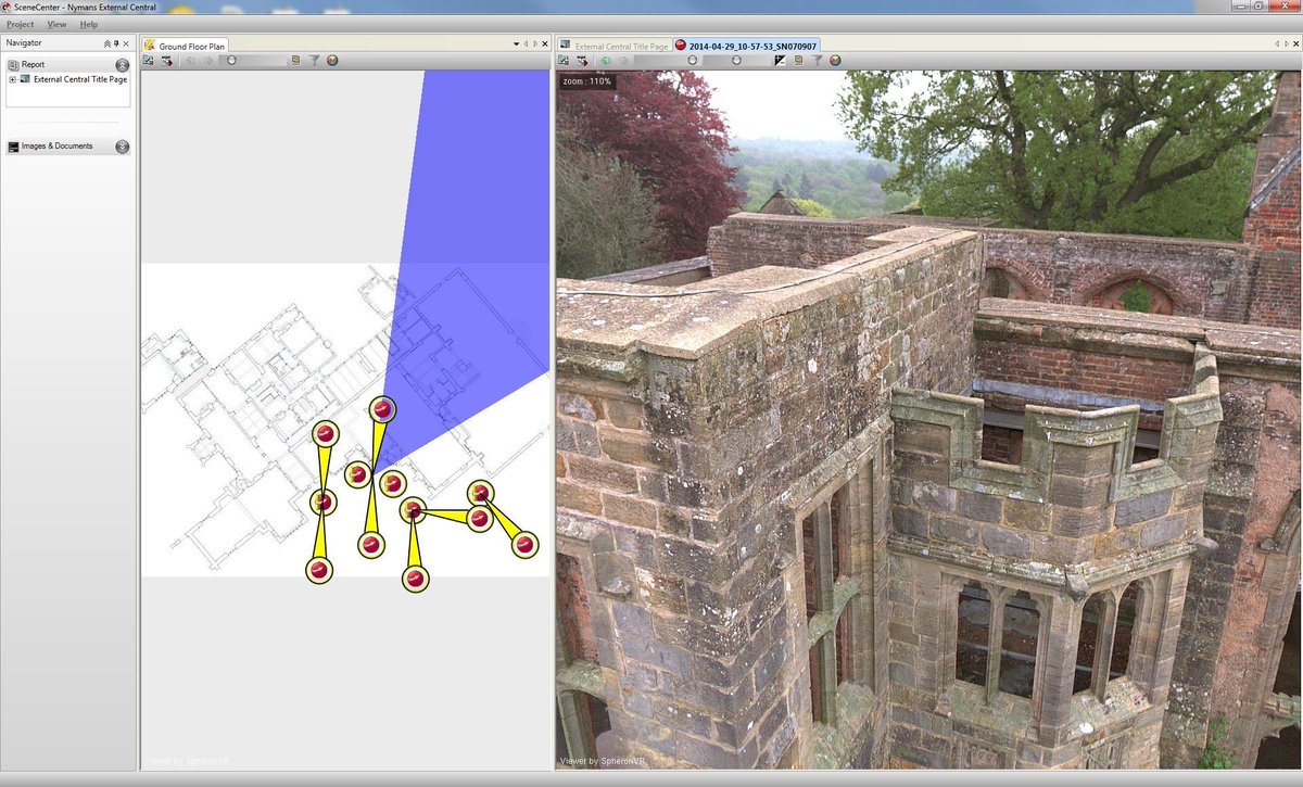
Using #Spheron360 HDR camera we can create virtual site tours & database asset records, unique interactive #HDRtech & scanlight enables imagery to be collected in challenging lighting conditions, including complete darkness.
see more https://t.co/9FDkBIxNDx
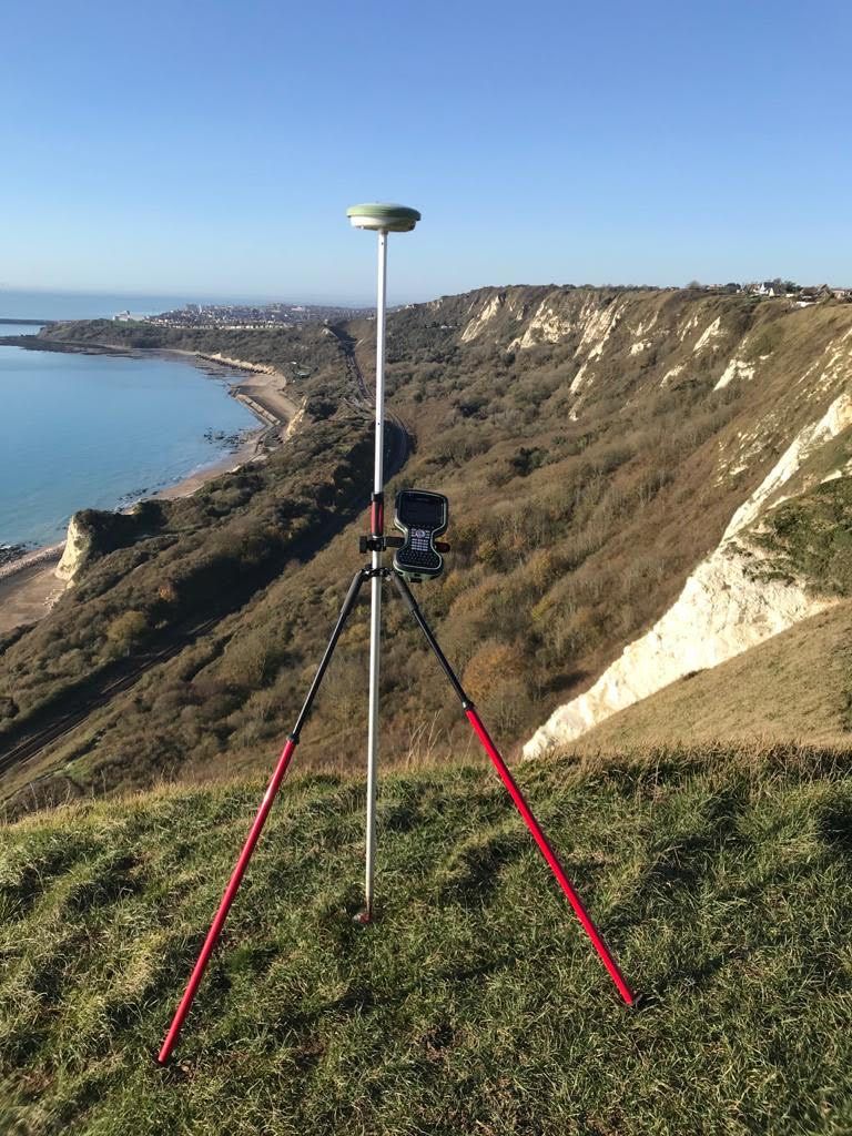
To find out more about our Topographic Surveys - contact [email protected]
Services include:
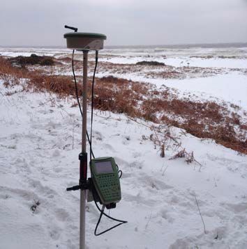
- Establishing Primary Survey control
- Small & large topographic & mapping surveys
- Digital Terrain Models
- Combine with Underground Utility Surveys
#surveyor#AEC
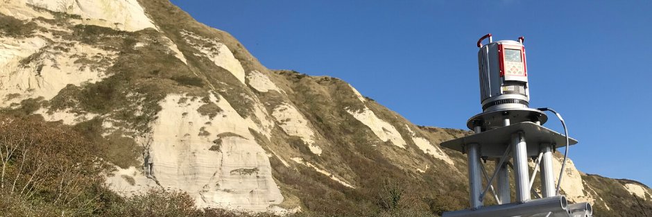
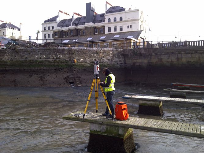
Stunning snap captured by one of our surveyors from a recent coastal scan.
If you would like more information on our coastal services DM us for a brochure.
#coast#coastalprotection#ukcoast#AEC#surveyors
Coastal scan on a slightly less grey day than today!
We've undertaken a number of monitoring projects of landslides and coastal cliffs, click on the link below to read more about our process & past projects.
https://t.co/bL1doK1Gtc
#enviroment#surveyor#southcoast
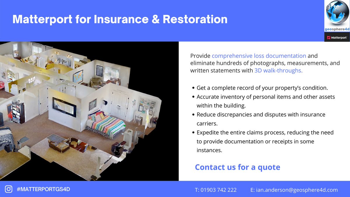
Create an accurate & comprehensive digital document of your property and assets for insurance, restoration, planning and development.
For more information & a Flyer drop us a direct message or email [email protected]#matterport#property#realestate#sitemanagement