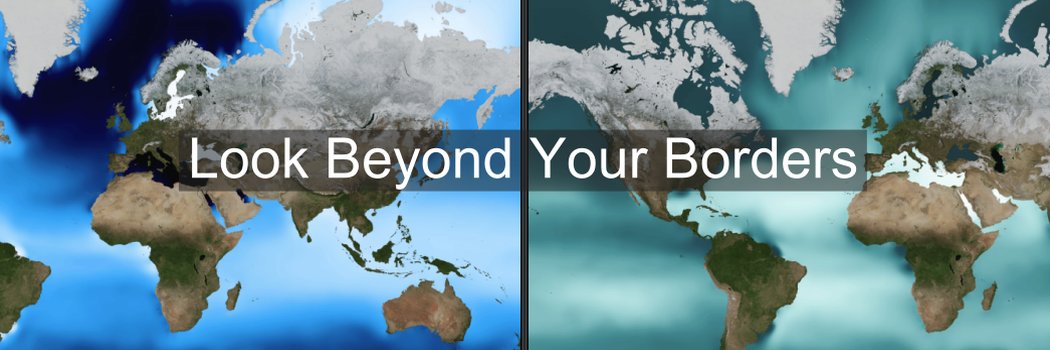
Same Earth. Different Boundaries and Toponyms?
Updated side project with two 3D #GoogleMapsPlatform globes side by side. Explore variations in boundaries and names.
Blog Post: https://t.co/KFr6DkhbmC
Website: https://t.co/MHG5KqRTNe
Check out this episode of The Current, where Dr. Joann Zadrozny talks with TXST President Kelly Damphousse about all things geography education and her work in Powerful Geography. #powerfulgeography#geographyeducation
https://t.co/ytem4mnid2 is officially outgrowing the free internet... exceeding the 10,000 free map-load limit again in April. Community support has successfully offset April's growth.
Help maintain the momentum. Please share or RT.
https://t.co/2v3L4bRGMA
#geteach#geography
A change in scale changes the story!
2k views in 7 days as classrooms globally explore the world. With the light traffic of Easter Weekend.
4 donors gave $110 to keep us ad-free & private! $5 covers ~1k map loads. Please share/RT!
https://t.co/2v3L4bRGMA
#geography#geogchat
New Bivariate Climate layer - https://t.co/ytem4mnid2
Temperature AND precipitation in one 2D color map. Pair it with Cropland and explore.
Full lesson at the link: https://t.co/2P1b2lWmp0
Open this view: https://t.co/MpHKqKGZX8
#geography@GMapsPlatform
Updated https://t.co/ytem4mnid2 to balance costs with classroom experience.
New: Donation prompt with 24-hr "snooze" and 1-yr "thank you" flags, stored in your browser... sticking with the site's "no login" feature. #geography#maps
Explanation + Costs:
https://t.co/0V5oSndzOA
15 years. 1.3 million map views. $400 to keep it running. https://t.co/ytem4mnid2 is a free, no login interactive map platform for K-12. Free for you = out-of-pocket for me. Support if you can ->https://t.co/jOjbAt5M82
#APHuG#GeographyTeacher#EdTech#GoogleMapsPlatform
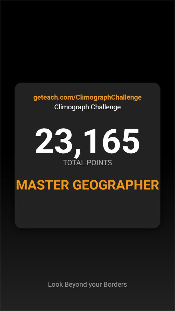
🌍 I scored 23,165 out of 25,000 on the @geteach Climograph Challenge! #Geography#ClimographChallenge
https://t.co/QMqWKll2mA
I created this game, and this is officially the 1st time I’ve managed to hit the highest rank (>22,000 pts).
Working on a new way to interact with climate data:
A 5-round exercise in spatial reasoning. Analyze the temperature and precipitation patterns, then identify the region on the map. Watch to see how I fared.
Not optimized for phones
Try it here: https://t.co/QMqWKll2mA
#Geography
Try it here: https://t.co/OdzD9WmQof
Take a quick tour of the 16 stadiums hosting the 2026 FIFA World Cup across the U.S., Mexico, and Canada—mapped in 3D with @GMapsPlatform.
Click to fly, view Street View, see match schedules, and explore host cities.