🌍 Another Publication
Also thrilled to share our second paper, published in Environmental Modelling & Software
📄 "Weight-Level Integration of SHAP-Interpreted Machine Learning and AHP for Flood Susceptibility Mapping in a Semi-Arid Region"
Full paper:
👉 https://t.co/ej2VMxsHCz
🌍 New Publication Alert!
Thrilled to share our latest work, now published in the Journal of the Indian Society of Remote Sensing (Springer)!
📄 "Feature-Based Evaluation of ML and DNN Models for LULC Mapping in Semi-Arid Regions"
📌 Full paper:
👉 https://t.co/ywixv9BIOM
📣Great training opportunity for early career space + Earth scientists from Africa. Applications due June 19.
➡️https://t.co/r9KTkVAxIz
@AfSA_AU@esa@Terefe33566761
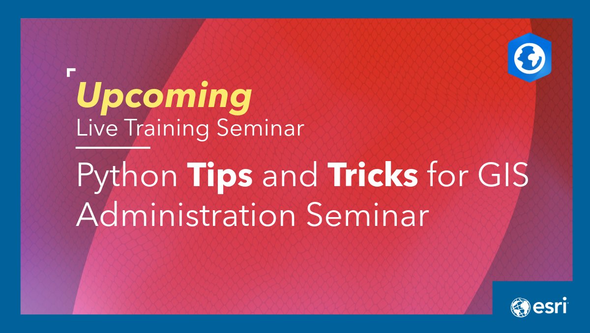
Calling all GIS admins who use #ArcGISPro. Learn how to automate and scale routine tasks using the ArcGIS API for Python. Standardize workflows, spot performance issues, and manage users and content across ArcGIS.
Register for the May 21 seminar: https://t.co/kq7t9godfL
Keep your head in the cloud! Learn the foundational skills and benefits of ArcGIS Online with this free course. ☁️🌎
Get started: https://t.co/4YhluVyO5D
#GIS#ArcGIS@ArcGISOnline
فيديو جديد على قناتنا على اليوتيوب حاولت تقديم فيه بعض الأمثلة العملية حول الإستشعار عن بعد والذكاء الإصطناعي ... يمكنكم مشاهدة الفيديو عبر الرابط التالي:
https://t.co/2CNsU0LKdb
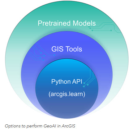
Ready to bridge the gap between AI and GIS? 🌍🤖
Check out this guide for students getting started with #GeoAI in ArcGIS. From using pretrained models to custom Python workflows, here is how to begin:
Read more: https://t.co/P992mJ3KGl
#ArcGIS#DeepLearning#GIS#Esri
🚀Big news! The @gw_project community is invited to participate in a series of FREE training courses offered by @NASA ARSET!🛰️
Learn to use satellite data for aquifer tracking and water management🌍
📚EN&ES ✅Free & Online
https://t.co/KT9sfCxqhY
#NASA#Groundwater#RemoteSensing
I am excited to introduce OpenGeoAgent, a powerful open-source multimodal AI agent for automated geospatial analysis and visualization!
It supports QGIS, Jupyter notebook, and Python scripting. In this tutorial, you’ll learn how to automate GIS workflows using natural language, generate maps, analyze satellite data, and even run complex hydrological models.
You can even interact with the agent using voice commands (no typing needed).
Video: https://t.co/mJ0ort5dzb
GitHub: https://t.co/WgiWV1wGMS
QGIS Plugin: https://t.co/qNRP3WPJWe
#geospatial #GeoAgent #OpenSource #AI
🌏 Call for Papers: AP-GARSS 2026 is now open!
The inaugural IEEE Asia-Pacific Geoscience and Remote Sensing Symposium will take place in Qingdao, China, on 11–14 October 2026.
Under the theme “Remote Sensing Applications in Sustainable Clean Earth Growth,” researchers, engineers, practitioners, students, and young professionals are invited to submit original work in geoscience and remote sensing.
📝 Submission deadline: 15 June 2026
📄 Full papers (IEEE Xplore & Student Paper Competition)
��� Abstracts (presentation only)
🔗 Learn more and submit here: https://t.co/rYOpIJzNYB
#APGARSS2026 #IEEEGRSS #RemoteSensing #Geoscience
🌍 Want to learn how Earth observation satellites are designed in the real world?
Applications are now open for the 4th Earth Observation Satellite Systems Design Training Course!
📅 28 September–2 October 2026 (onsite)
📍 ESEC-Galaxia, Belgium
💻 5–9 October 2026 (online)
Participants will explore the full design process of an Earth observation mission, from mission objectives and orbit selection to payloads, satellite architecture, operations, and testing. 🛰️
📡 Through a hands-on team project, students will develop their own EO satellite concept with guidance from ESA experts.
🎓 This two-week programme brings together students from Europe, Canada, and Africa, including 15 participants selected through the African Union–European Union strategic partnership, supported by ESA and the African Space Agency.
Explore the training course and apply: 🔗 https://t.co/dfG3vG9mmU
📸: ESA/ATG medialab
An AI assistant for Google Earth Engine is now available in QGIS!
You can explore and visualize any dataset from the 80+ PB Earth Engine Data Catalog using natural language, and run scalable geospatial analysis on demand without writing code. Every interaction automatically generates reusable code, making it easy to reproduce results, customize workflows, and transition from no-code to full scripting when needed.
Upgrade the plugin to get started and bring AI-powered geospatial analytics directly into your QGIS workflow.
GitHub: https://t.co/NB4shvrL7b
QGIS plugin: https://t.co/o4wrN44uZr
GeoAgent: https://t.co/WgiWV1wGMS
#EarthEngine #QGIS #OpenSource #GeoAI #Geospatial
New Training Announcement! Join the NASA Applied Remote Sensing Training (ARSET) Program for a two-part, no-cost, online training on an Introduction to Thermal Remote Sensing and Applications in Urban Heat Island Mapping. https://t.co/2QvumPDs4j
#ARSET#NASA#RemoteSensing
كنصيحة سريعة لا تعتمد اعتماد كلي عن الذكاء الاصطناعي حول المنهجية العلمية التي تريد تطبيقها في عمل ما ... سيعطيك الكثير من الاتجاهات التي تبدو وكأنها فعلا تقوية لعملك ... لكن من خلال تجربتي ستجد أن ضيعت الكثير من الوقت ... و أن عملك دائما مازال ناقصا ... استخدمه دائما كمساعد فقط
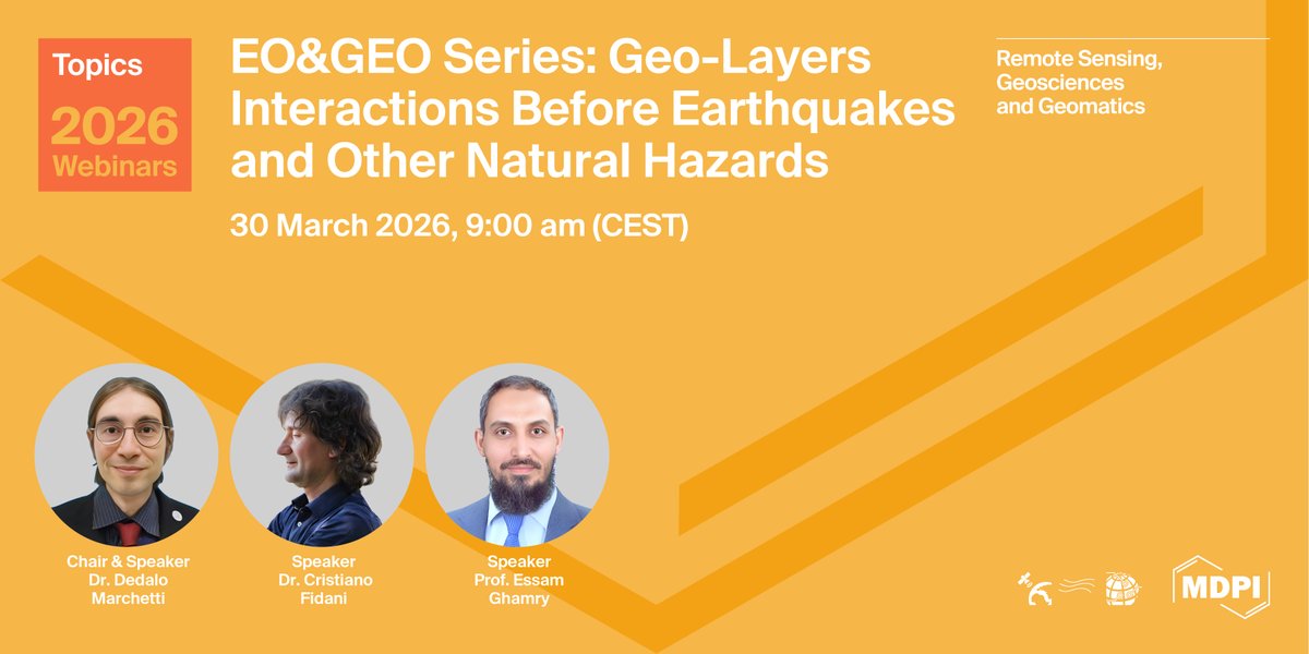
🌍 Join Us for the EO&GEO Series Webinar! 🛰️
EO&GEO Series: Geo-layers interactions before #earthquakes and other Natural Hazards
📅 Date: 30 March 2026
⏰ Time: 09:00 am CEST | 03:00 pm CST Asia
🔗 FREE registration: https://t.co/PlxMduuCHR
#RemoteSensing#NaturalHazard