Artificial Intelligence is inundating many fields of study.
Take our survey so we can better understand what is being planned, taught, and areas of opportunities/concerns 👉 https://t.co/KdcMh5HxP3
Build more resilient cities with the Guide to the Geographic Approach 👇
🔸Use Survey123 and Field Maps to capture and visualize urban species data: https://t.co/fvs9CmEwo0
Use mobile GIS to identify ecological hotspots and guide equitable green infrastructure planning 🌿📊
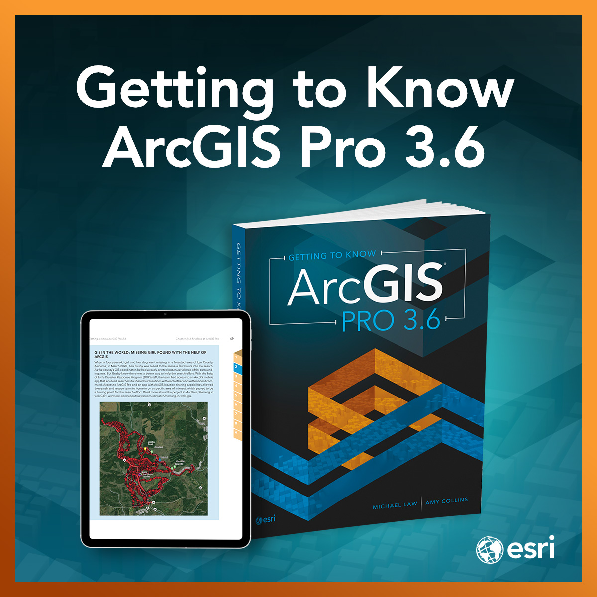
The wait is almost over! 📚 The new edition of the best-selling workbook, Getting to Know ArcGIS Pro 3.6, drops June 2nd. Perfect for students, self-learners, and professionals looking to master the latest in desktop GIS. 🗺️🚀
Pre-order your copy: https://t.co/aaIz3WDHVR
Big news for schools and universities: the ArcGIS Reality suite is coming to Esri Education programs! 🎉 Get ahead of the update with this free 1-hour seminar. Learn how to use these accessible tools to turn drone data into 3D meshes. 🗺️🛸
Start today! https://t.co/ySWOHmFK8l
Heading to Orlando for #ISTELive 2026 next month? ✈️ Stop by booth #1659 to connect with the Esri K-12 team! Let's chat about digital mapping, AI in geography, and new ways to spark student creativity. 🗺️✨
Read more details on our blog: https://t.co/YoZpHb2YIe
Need imagery for your GIS workflows? The Image Collection Explorer in ArcGIS Living Atlas makes it easy to explore, filter, and select imagery from continuously updated datasets to create imagery layers tailored to your project needs 👉 https://t.co/Y1ZRzLKgFL
It's the last few days of Zombie Awareness Month! 🗺️ This interactive Zombie Apocalypse Preparedness StoryMap lets students play an AI GeoGame, submit a geographic "trip report," and map out safe zones!
Try it with your class:
https://t.co/EiinXbeXeh
Gain a competitive edge with the Guide to the Geographic Approach 👇
🔸Turn data into location intelligence to find your next growth opportunity: https://t.co/j414P4HjUd
Use spatial analysis to visualize market potential and make data-backed decisions 📊
From ML to foundation models, AI is changing geospatial education. What are the biggest opportunities and barriers? 🗺️🤖
Help map the future! Take a moment to answer the joint survey by WGIC, AAG, Esri, AGILE & UNIGIS. Results out next month! 📈
👉 https://t.co/4sf1qqHhOD
Level up your professional development! 🚀 Explore free, on-demand courses to integrate GIS technology into your teaching. Build foundational map skills right in your web browser.
➡️ https://t.co/1NOkhlHqxJ
#GISinEd#K12
Bring tectonic plates and high-altitude settlements to life in your classroom! 🌋🗺️ Explore the "Making Mountains" MapMaker lesson with free teacher guides and student activities here: https://t.co/CISPX0GqJq
Join us on Tuesday, June 2 @ 9 am for the next #GIS in Higher Education Chat 🖥️
Topic: Getting Started with ArcGIS Reality for ArcGIS Pro
Register to get your Zoom link: https://t.co/4tdrGpQqP2
Drones + GIS = the ultimate combo for future-proofing student careers. 👷♂️🛰️
CTE teachers, where are you on your drone technology journey? Share details about your courses, compare your progress, and check out the latest results in real time. https://t.co/K05AWZODzc
How do we teach GIS while reducing screen time?
Dr. David Perault took his students out of the classroom and onto the James River to collect their own data, putting the "Geography" back into GIS! 🚣♂️🌲
Check out how they turned rapids into a digital twin: https://t.co/JAsfuAgqGY
Educators, administrators, and IT professionals will gain content valuable professional development at the Esri Education Summit. Enjoy specialized tracks in higher education and K–12. Standard registration ends May 29. https://t.co/68dcpSrX7Y
#EsriUC2026
Going from student to professional takes more than coursework. Here are 5 strategies on how to present yourself as a GIS professional 🤝 https://t.co/xV6P9yV6RT
These are Esri tutorials designed to get you started with applying imagery analysis in Living Atlas. This will help to further your GIS skills especially if you are a student 🙌 https://t.co/pDkboeu4Vj
🌎 Want a free, MapMaker lesson on Earthquakes?
Check out "Exploring Earthquakes & Their Causes" from Esri & NatGeo! Students use a sign-in-free #MapMaker tool to track seismic patterns, map plate tectonics, and examine human impacts.
https://t.co/aM1IwmWvcU
Success story just dropped 🎤 Read how Johns Hopkin's drone program is giving students a competitive advantage in the workforce 🚁 https://t.co/NuBCQZFan8
Heading to #ISTELive in Orlando? 🎡 The Esri K-12 team will be at Booth #1659 from June 28–July 1!
Still on the fence about attending? Check out Tom’s latest blog on why this is a must-attend event for educators:
👉 https://t.co/FOqgZuJGTb
Learn more at https://t.co/bO5Z3JvAxC