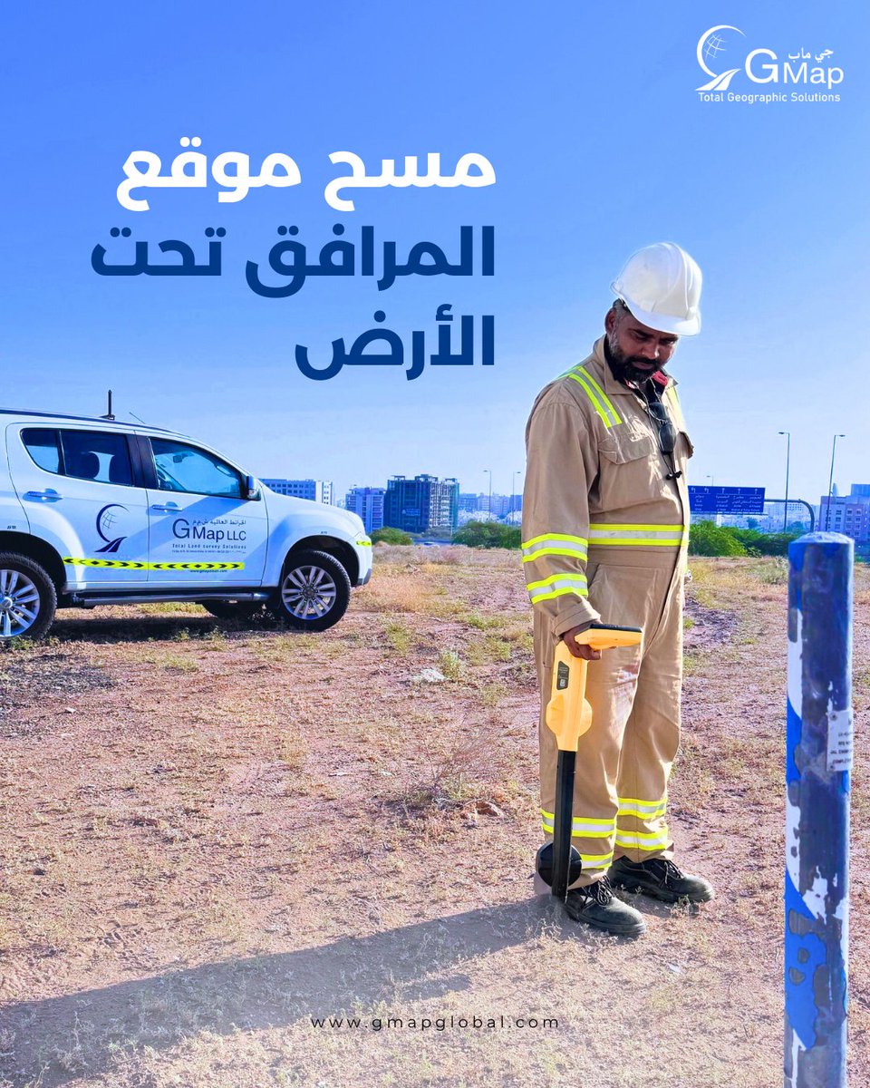
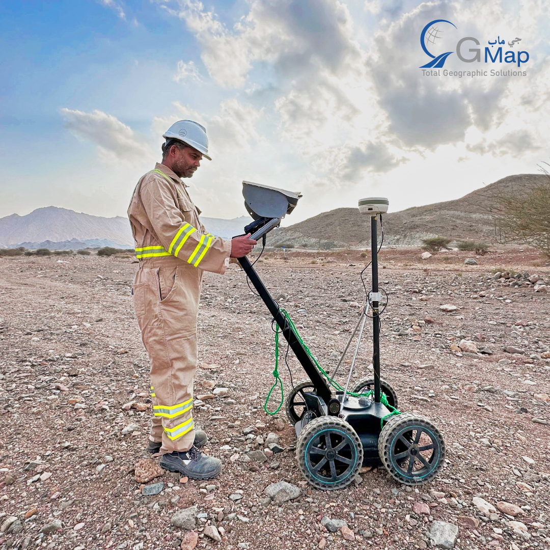
الكشف الدقيق عن المرافق تحت الأرض باستخدام vLoc3 Pro 🎯 يستخدم فريقنا المتخصص تقنية التحديد الكهرومغناطيسي المتطورة لرسم خرائط المرافق بدقة متناهية، مما يضمن تنفيذ المشروع بأمان وكفاءة. #رسم_خرائط_تحت_الأرض#كشف_المرافق#المساحة#خرائط_جوج
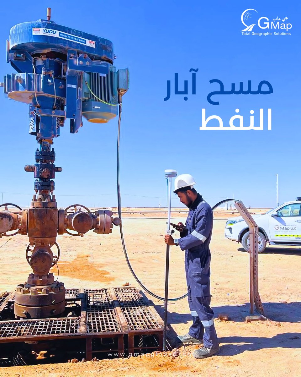
تُعدّ المسوحات الدقيقة لآبار النفط أمرًا بالغ الأهمية لتحسين استخراج الموارد، وضمان السلامة، وتقليل الأثر البيئي. ومن خلال الاستفادة من التقنيات الجغرافية المكانية المتقدمة، نوفر بيانات دقيقة تحت السطح تُرشد عمليات الحفر الفعّالة وتطوير الحقول على المدى الطويل.
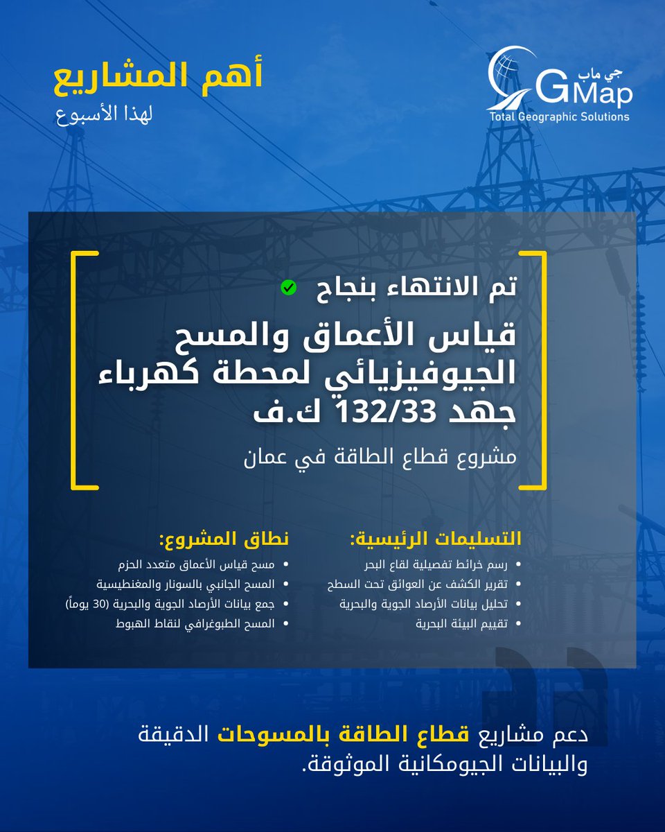
🌊 نفخر بعرض مشروعنا المنجز حديثاً لقياس الأعماق والمسح الجيوفيزيائي لمشروع البنية التحتية للطاقة في عمان. من رسم خرائط قاع البحر إلى تحليل بيانات الأرصاد الجوية والبحرية، قدمنا حلولاً شاملة للمسح البحري لمشروع محطة كهرباء جهد 132/33 ك.ف.
#المسح_البحري#قياس_الأعماق
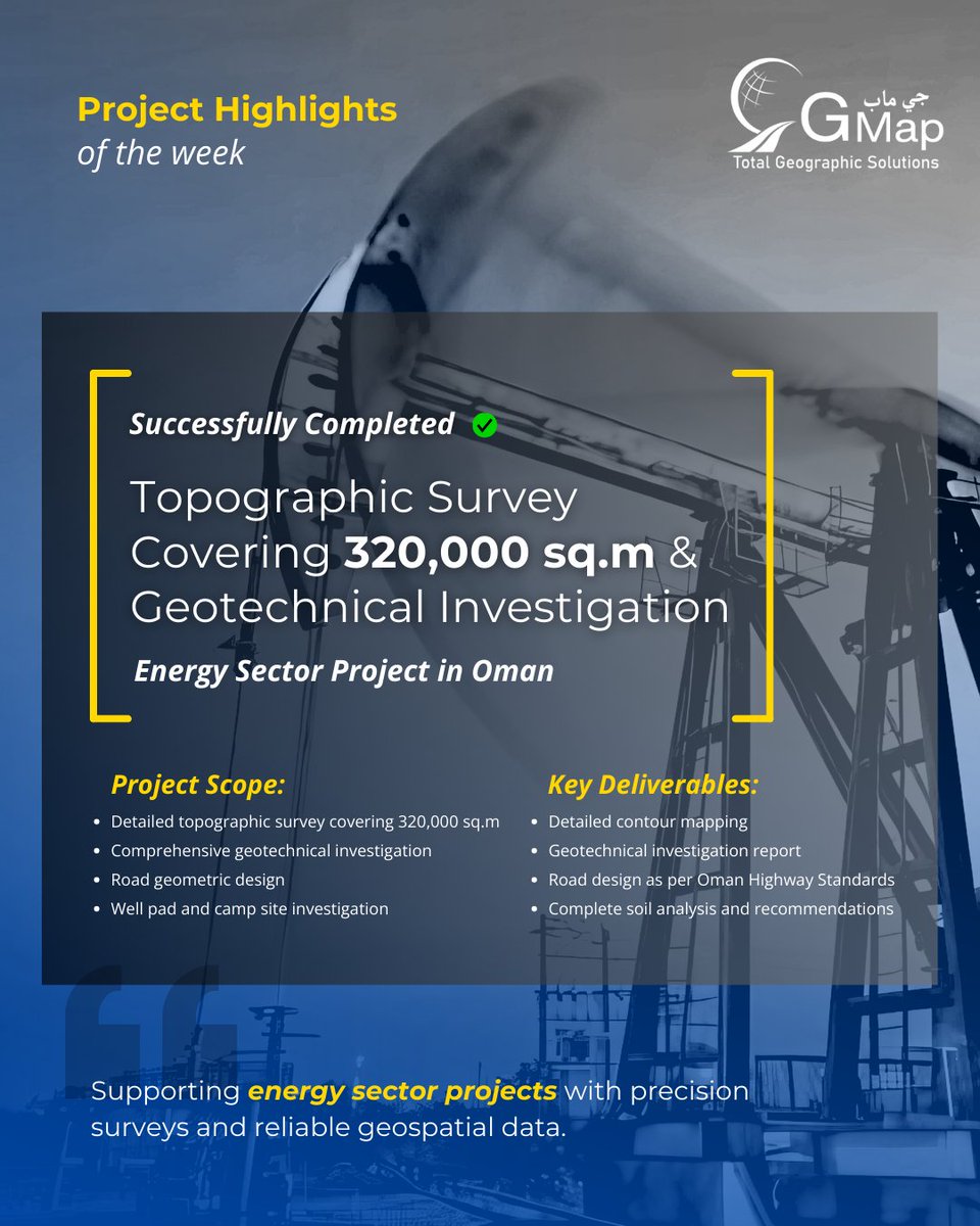
Project Highlight: Successfully delivered comprehensive topographic survey and geotechnical investigation for an energy sector project in Oman. Precision mapping for infrastructure development.🎯
#Surveying#Infrastructure#Oman
Protect your infrastructure with zero-disruption leak detection 💪 Advanced GPR surveys that save time, money and resources.
#LeakPrevention#GPRTechnology
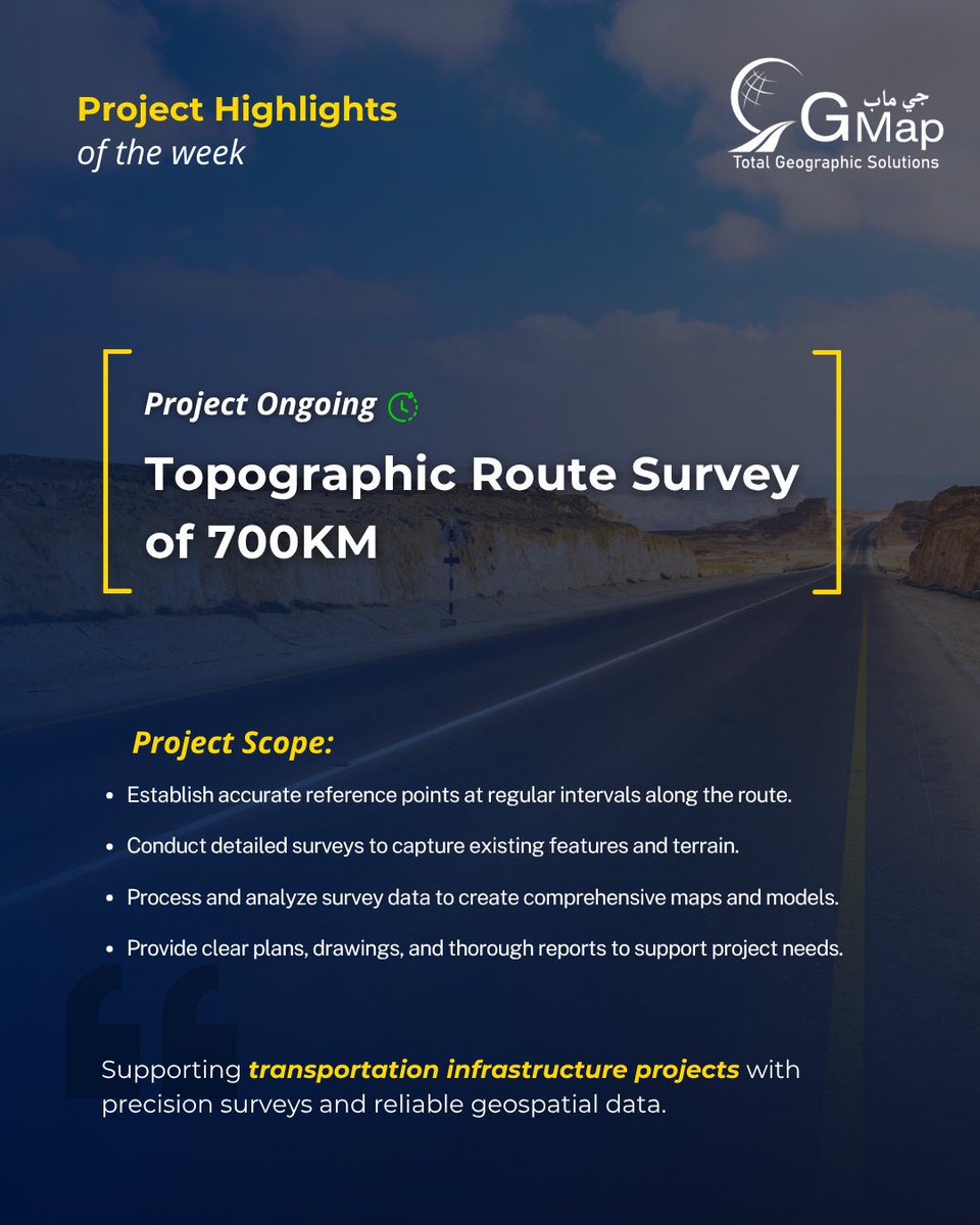
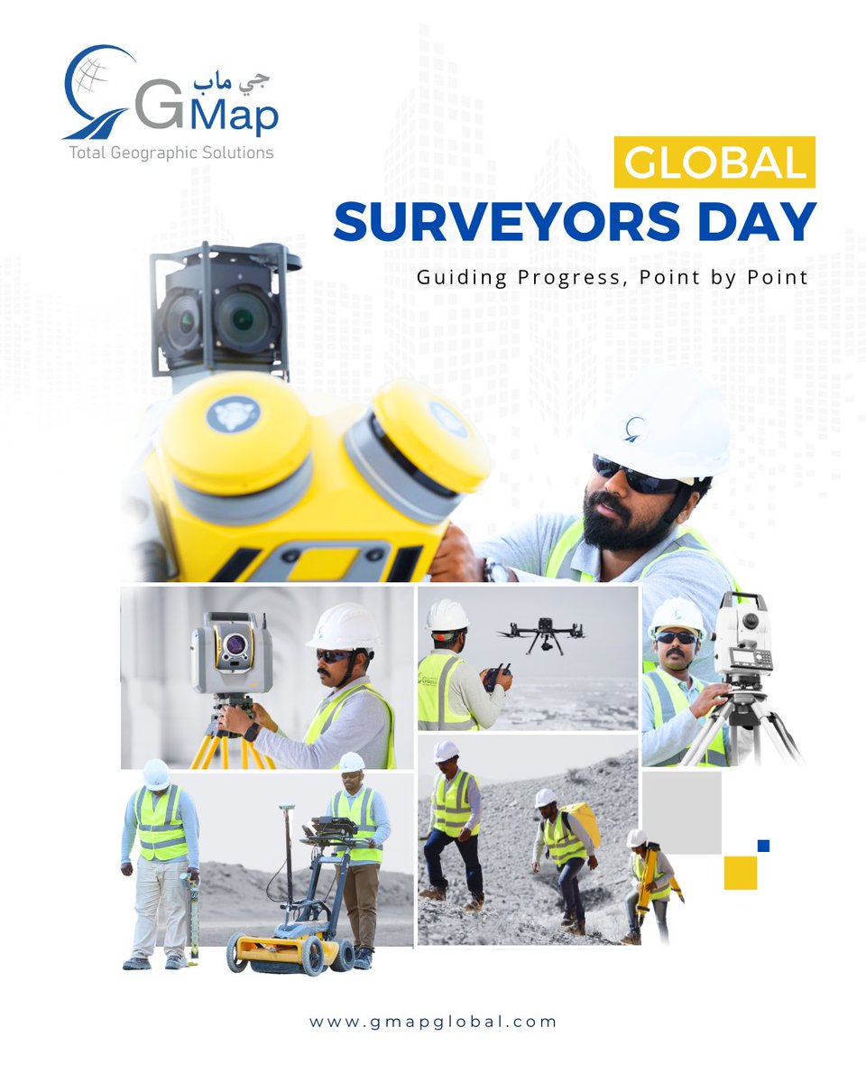
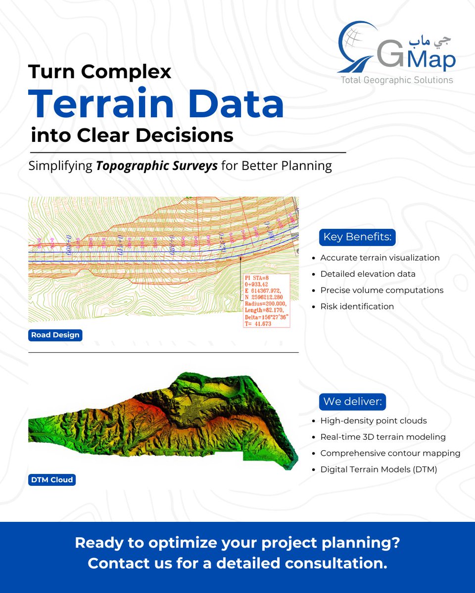
🎯 Where precision meets planning!
Advanced topographic surveys with pin-point accuracy and high-density point clouds. Transforming complex terrain data into clear engineering solutions.
#TopographicSurvey#Engineering#Surveying#Infrastructure#GMap
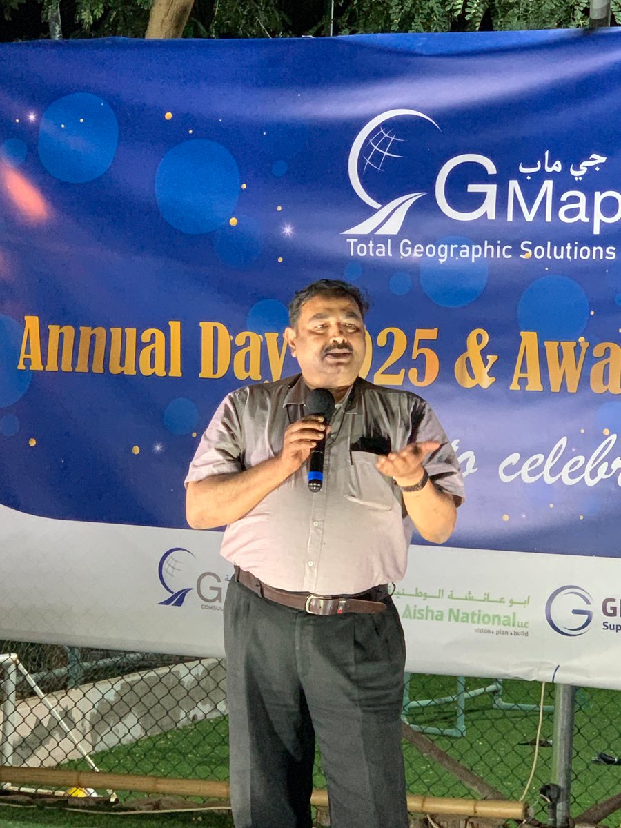
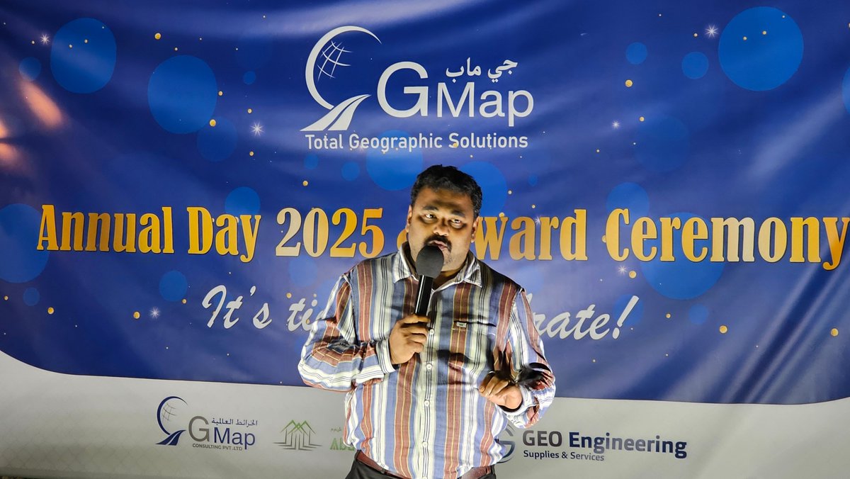
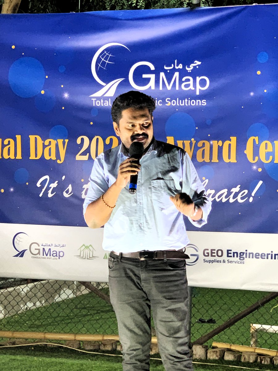
🌟 Celebrating excellence at G Map's Annual Day & Award Ceremony 2024. Proud of our outstanding team members who continue to raise the bar in geospatial engineering.
Swipe to see the moments! ➡️
Behind every precise survey and innovative solution stands an exceptional team! 🎯
Presenting highlights from G Map's Annual Day 2025 - an evening dedicated to celebrating the brilliant minds who transform challenges into achievements.
#GMapTeam#CelebratingSuccess
High-precision GPR & EML survey for 1.5km FOC cable detection at Al Jafnayn. Combining dual technologies for enhanced accuracy in underground utility mapping. 🌐⚡ #GPRTechnology#EMLSurvey#UtilityDetection
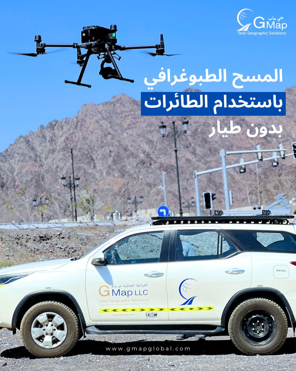
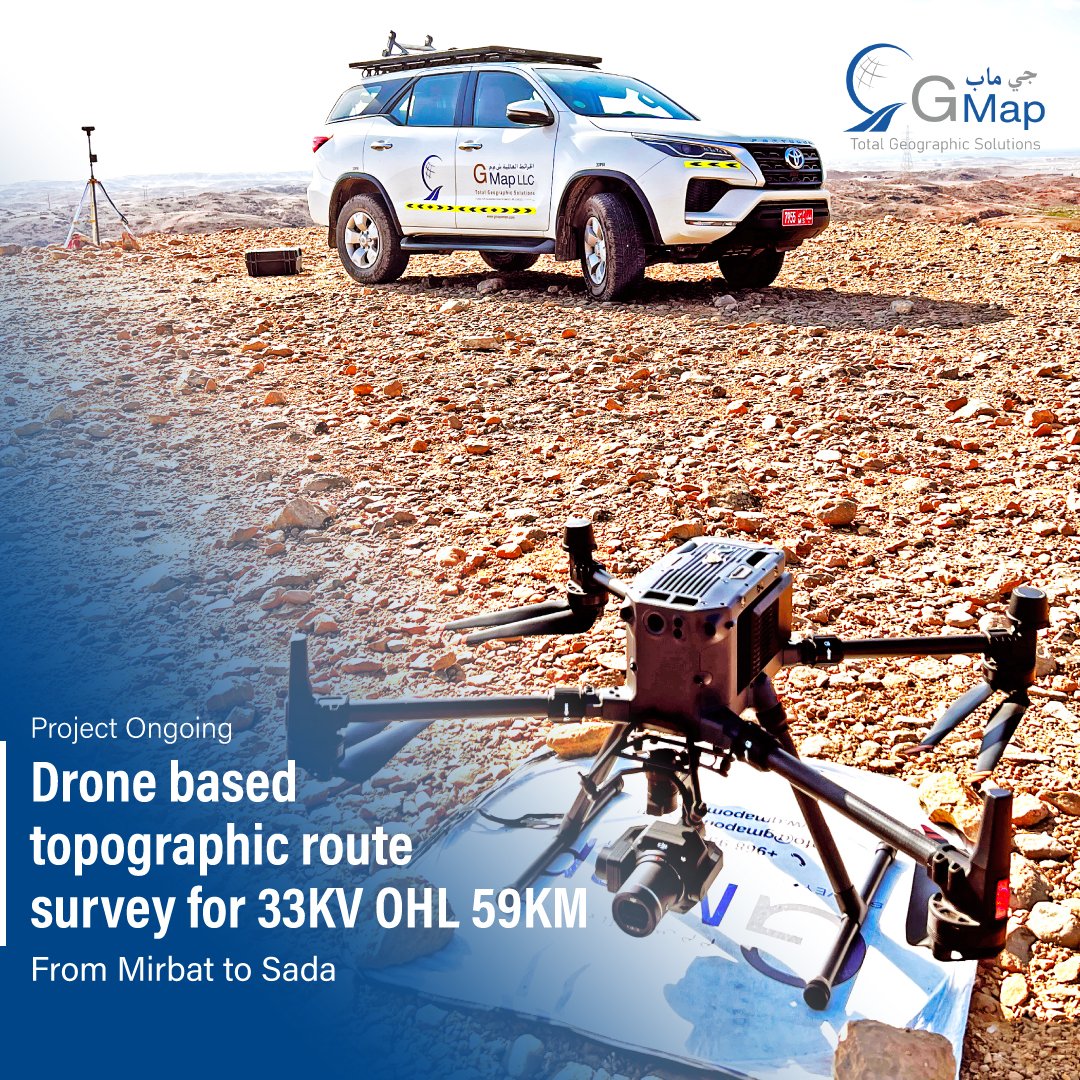
🚁Precision from above! Currently executing a 59KM drone-based topographic survey for the 33KV OHL project between Mirbat and Sada. Delivering accurate, efficient, and comprehensive terrain data for power infrastructure development.
#DroneMapping#Surveying#Infrastructure
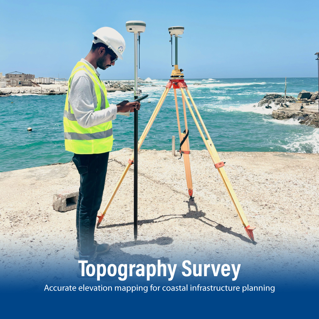
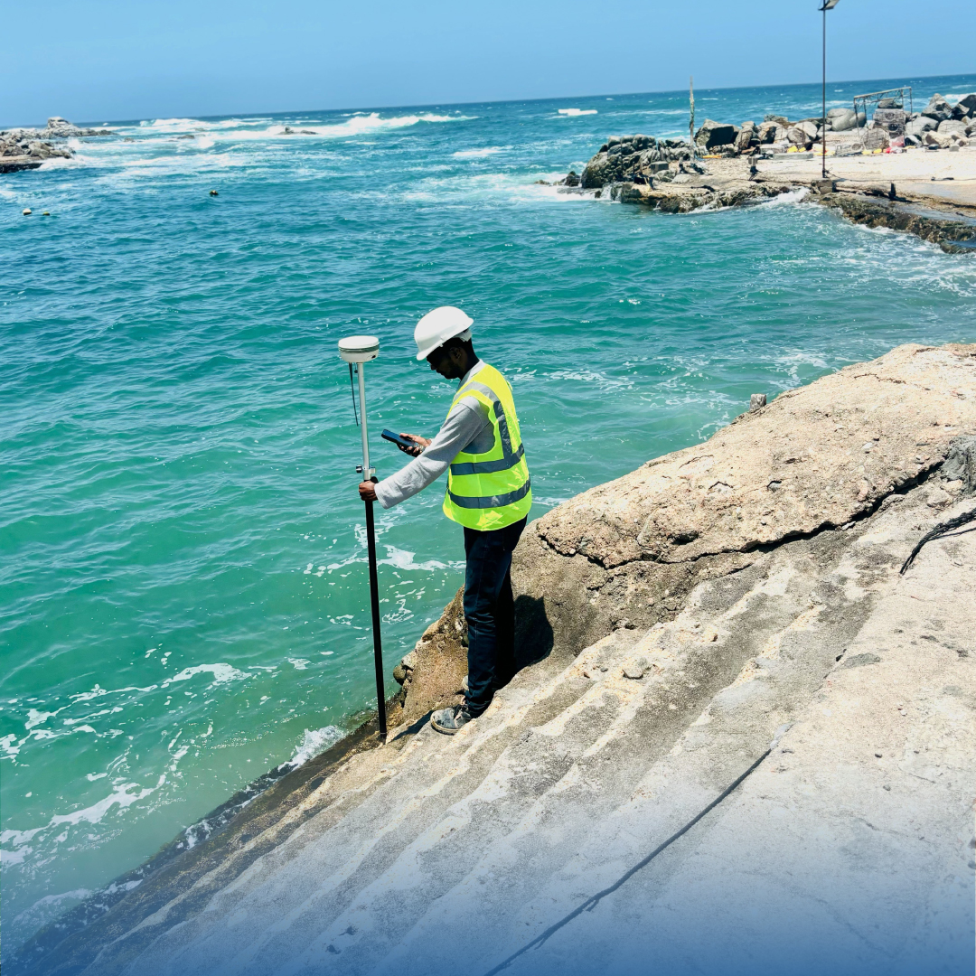
🎯Capturing every contour with precision! Our advanced topographic surveys provide the detailed terrain data you need for successful coastal development. From concept to completion, we're mapping the way forward.
Contact us to discuss your project needs! 📍