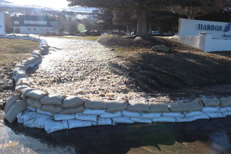
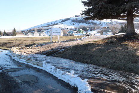
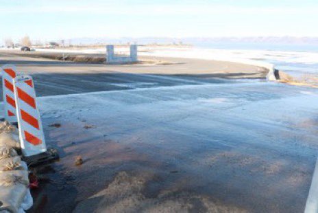
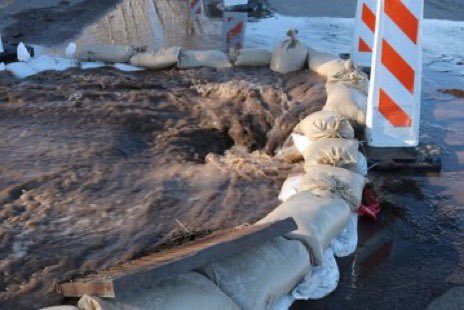
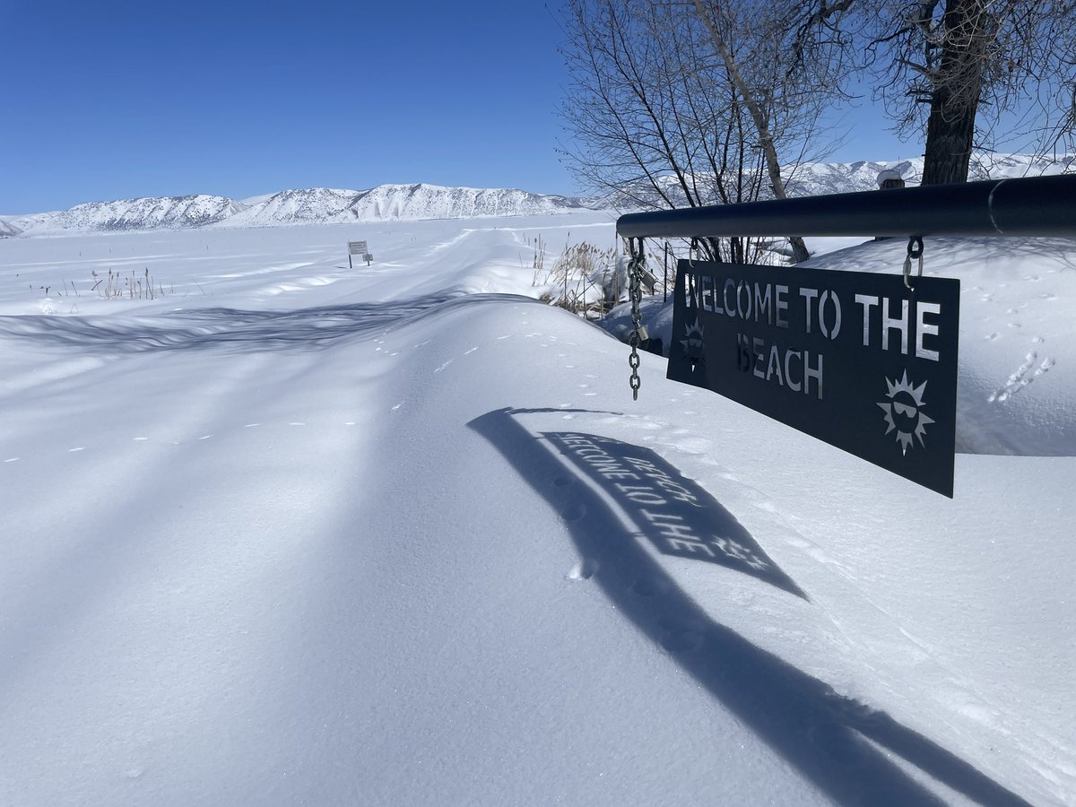
Sandbags surrounding @Gobearlake as this rapid warm up and flash of record breaking warmth prompts accelerated snowmelt.
Thank you to @CDyerBearLake for sharing.
#utwx#flooding
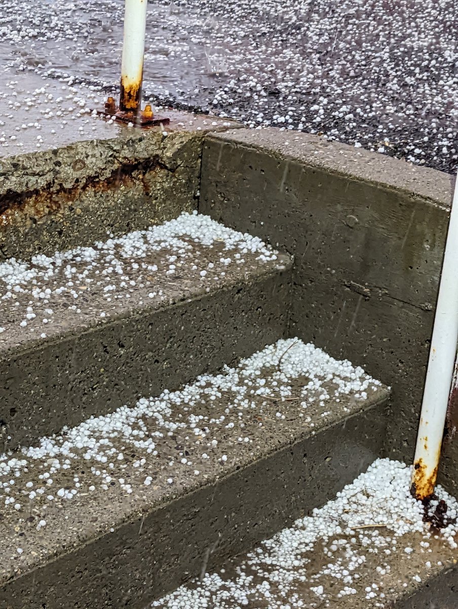
A strong thunderstorm will impact portions of southeastern Rich, east central Morgan, north central Summit and northwestern Uinta Counties through 1245 PM MDT [wind: <40 MPH, hail: 0.88 IN] for Bear Lake and Bear River Valley, Wasatch Mountains I... https://t.co/R9sJxyY0D3
UPDATE: Officials have reopened a section of Idaho State Highway 36 through Emigration Canyon between Preston and Bear Lake that was closed for more than a day. https://t.co/qYp4xXjIhi
SLC continues Wind Chill Watch valid at Jan 30, 7:00 PM MST for Bear Lake and Bear River Valley, Cache Valley/Utah Portion, Eastern Box Elder County, Northern Wasatch Front [UT] till Jan 31, 12:00 PM MST https://t.co/TkvIuAknoe
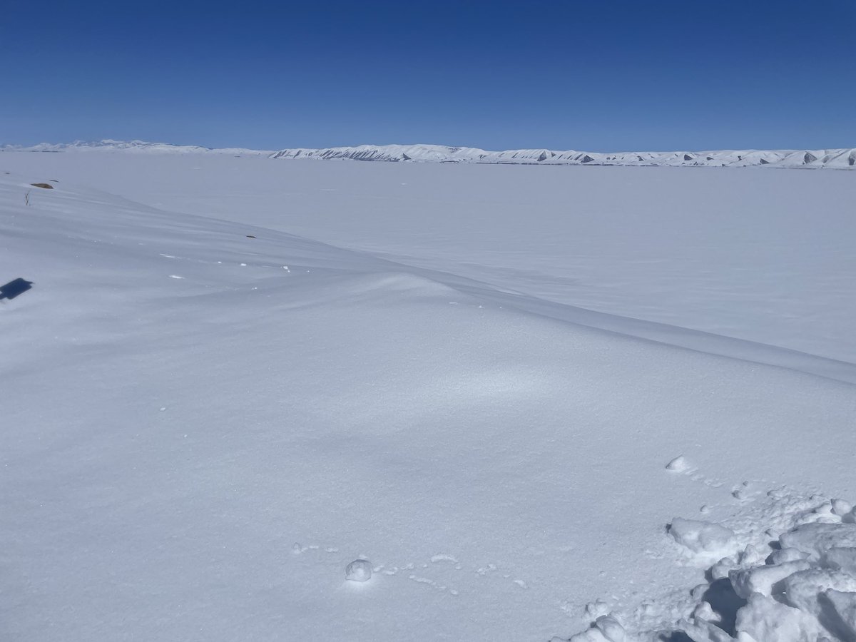
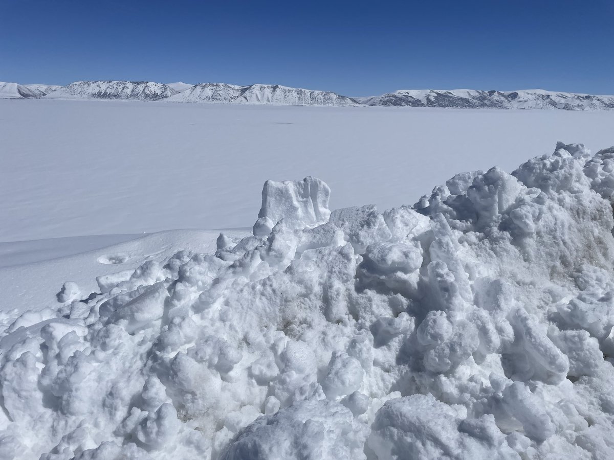
Watch: Fog at the surface over #BearLake#Utah@BearLakeValley but @grallon gives us the view above it
..
Those mountains in this distance are just stunning..
Thanks, Scotty T #utwx
There is a WIND CHILL warning for Rich County tonight through tomorrow morning. As low as -35 degrees. Probably best to stay out of the backcountry tonight.
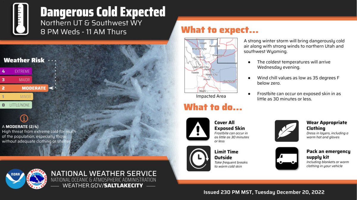
Dangerously cold air w/ strong winds coming for northern UT and southwest WY. Wind chill values as low as 35 degrees below zero expected between 8PM Wednesday and 11AM Thursday, posing a heightened risk to exposed skin, and to those without adequate clothing or shelter. #utwx
12-18-22: Areas with dangerous conditions exist on northerly slopes in the backcountry at all elevations. Recent snow and drifting created thick slabs and overloaded slopes with poor snow structure. Dangerous avalanches could be triggered remotely, from a distance, or below!









![iembot_slc's tweet photo. A strong thunderstorm will impact portions of southeastern Rich, east central Morgan, north central Summit and northwestern Uinta Counties through 1245 PM MDT [wind: <40 MPH, hail: 0.88 IN] for Bear Lake and Bear River Valley, Wasatch Mountains I... https://t.co/R9sJxyY0D3 https://t.co/FNyyYhjFAh](https://pbs.twimg.com/media/FuA_m_faMAAM1nB.jpg)



![iembot_slc's tweet photo. SLC continues Wind Chill Watch valid at Jan 30, 7:00 PM MST for Bear Lake and Bear River Valley, Cache Valley/Utah Portion, Eastern Box Elder County, Northern Wasatch Front [UT] till Jan 31, 12:00 PM MST https://t.co/TkvIuAknoe https://t.co/Rl9aAoMqum](https://pbs.twimg.com/media/Fnvfd2kaYAIJ0jm.jpg)