A year ago, a non-academic friend listened to a talk I gave. I thought it went great. My friend disagreed.
She said that academics are experts at making interesting stuff boring—and that we should all take a speech class.
So I did. And here are 6 most useful things I learned.
The phrase "what the entire fuck" implies the existence of fractional fucks.
"what the absolute fuck" implies the existence of positive and negative fucks.
"what the actual fuck" implies existence of imaginary fucks.
Conclusion: fuckery is isomorphic with the complex field.
Fellowship – Spatial Archaeology Residential and Online Institute, Center for Advanced Spatial Technologies, University of Arkansas https://t.co/Eb8FWhrsZA
Keen to use blending modes in your mapping but don't know where to start? I've written a handy guide on how (easy), why (they look great) and when (often) to use blending modes in different software packages here: https://t.co/oZlijNux18 #gischat#GIS
Jigar Shah thinks DOE's Loan Programs Office could help lower the financing cost of smart appliances and solar-battery systems for lower-income customers. After all, grid-responsive homes and businesses are just another form of energy infrastructure... https://t.co/Oy1tfNd6n1
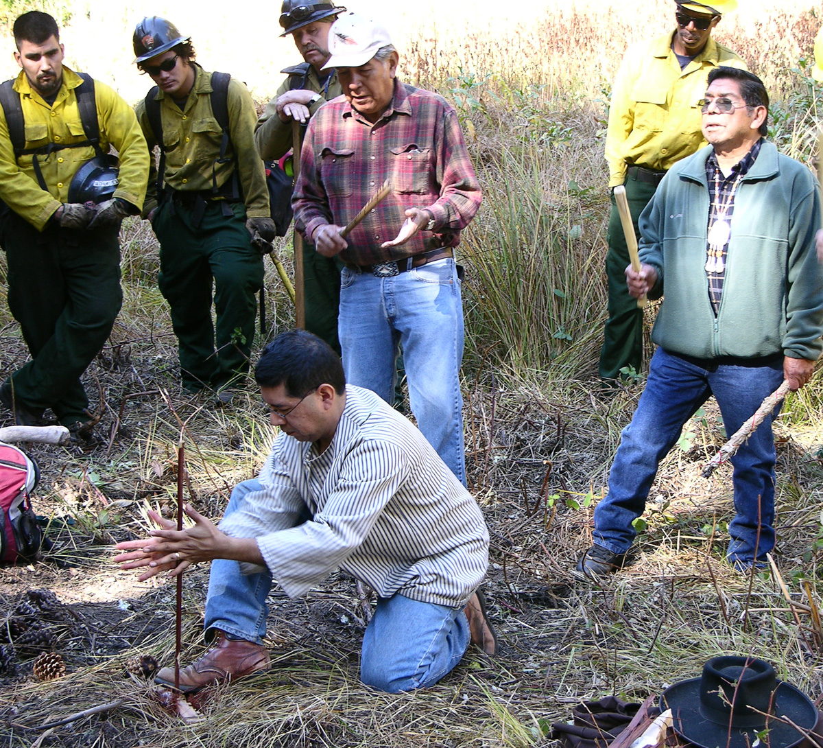
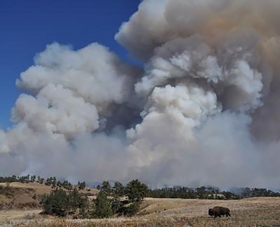
Fire was integral to many Indigenous peoples’ way of life for many millenia. Read about their historical use of fire, how Indigenous fire practices shape our land: https://t.co/AkSxzAC34e #NativeAmericanHeritage#NPSFire
In the '70s, hundreds of Hispanic & Indigenous people were forced to sell their homes on what is now Auraria Campus.
Now, anyone related to the displaced is eligible for a scholarship program that provides free education there.
https://t.co/kOVtutvts4 @matthew_bloom@KevinJBeaty
Y’all, my STUDENT made this😂 I’m dying with laughter. I’m sharing it here with their permission.
I really hope my love of stats memes is rubbing off on ALL of them 🤞
NetLogo 6.2.1 officially bundles the updated GIS extension with many substantial improvements and new primitives. In addition to ESRI shapefiles, it now supports the GeoJSON format! Learn more from the GIS examples in our models library.