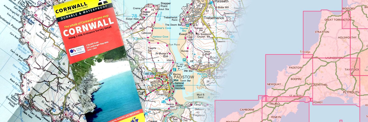
Gomaps has innovatively redesigned Great British regional OS maps that fit 5 maps into 1!
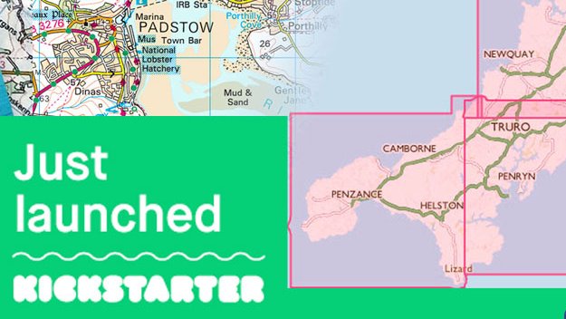
Gomaps has managed to fit the whole of Cornwall into 1 map that folds down to a standard size. Order now and pay when the target is reached. Only 14 days to go!
https://t.co/xYq0D2x3N1
It's live...Join me to bring these new maps to life!
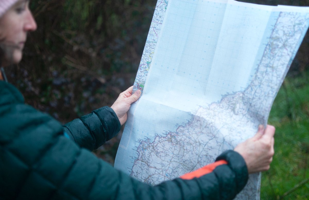
Fancy having just the one OS map to encompass your favourite area and still fold to fit inside the coat pocket. Using the beautiful Ordnance Survey Mapping data.
Help fund this project here: https://t.co/Vqk1UOrM9Q
I'll be talking to @eddiemair on @LBC shortly about Business Interruption Insurance payouts for small firms - if he doesn't interrupt me, that is! More info here https://t.co/7QJlX6ouOn
Coronavirus (COVID-19) The Berliner created this interactive map that shows the current spread of the virus all over the world. #corona#COVID19 https://t.co/SNuhBY6QeB via @funkeinteraktiv
@BritishCanoeing@outdoorswimming Like I said - I've been going to this spot with my children on regularly basis over this last month and seen nothing. What exactly did you find there? Does it really deserve such ramifications to us locals? Can your members still access this spot?
@BritishCanoeing@outdoorswimming I think you are getting mixed up with Spitchwick, towards Holne, which has this problem. At the wier I've not seen any glass in the river, bbq’s, fires etc. You've also installed a combination lock for your members to use it!