#EuroEnGeo2020 Proceedings Uploaded!🚀 We're thrilled to announce that the proceedings of the EuroEnGeo2020 conference, held in the historic city of Athens, have been successfully uploaded.
🔗Where to find: https://t.co/xFVta1NKoH
#EngineeringGeology#Conference🌐
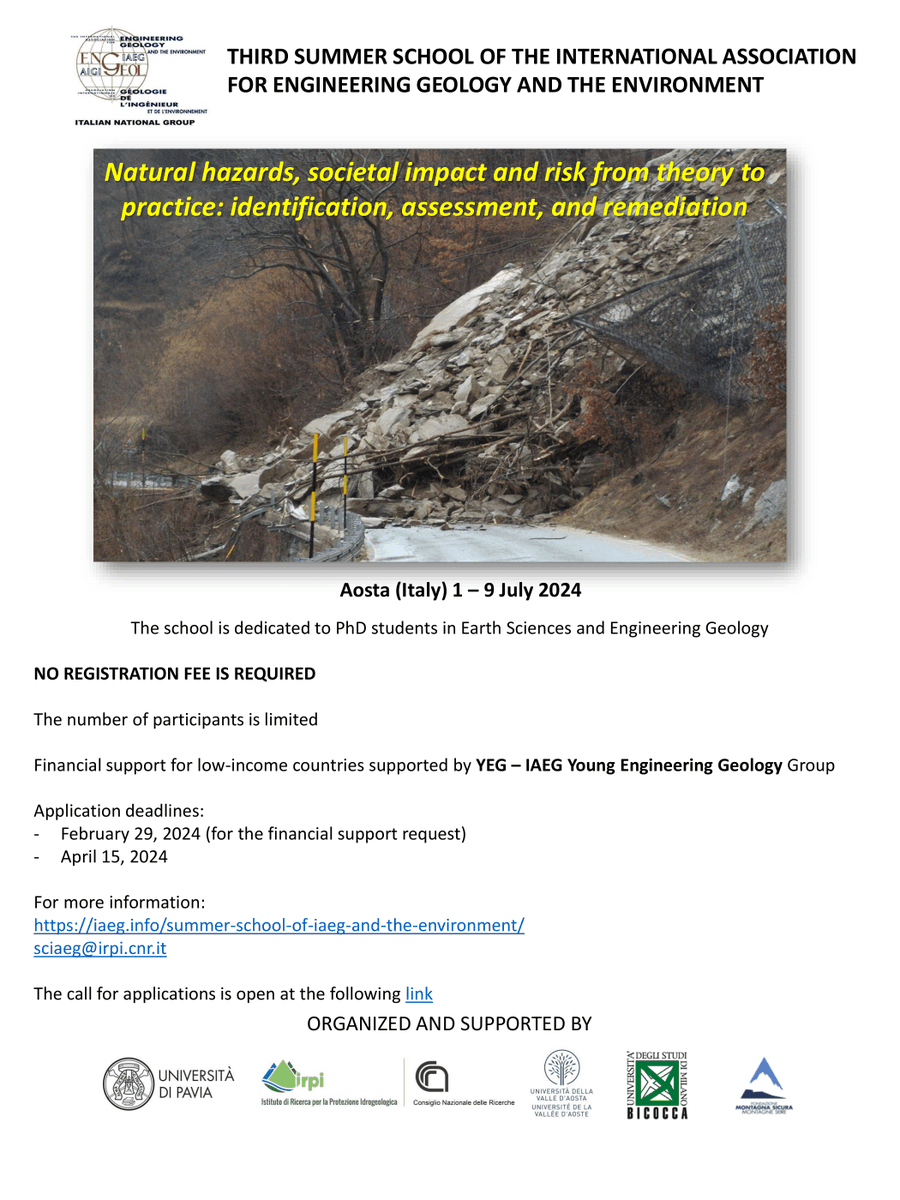
📢 IAEG Summer School 2024!
Topic: Natural hazards, societal impact and risk from theory to
practice: identification, assessment, and remediation
✅ Aosta (Italy)
📅 1-9 July 2024
NO REGISTRATION FEE IS REQUIRED
Financial support by YEG
https://t.co/113IM6bzya
Wide, distant, clear field of view along the Japan coast for the 1/1/24 M7.5 quake. I've never seen earthquake footage quite this high quality. So much to look at. Ground motion, liquefaction, lateral spreading, distant landsliding, excitation of the water
https://t.co/cWLnrKhmI3
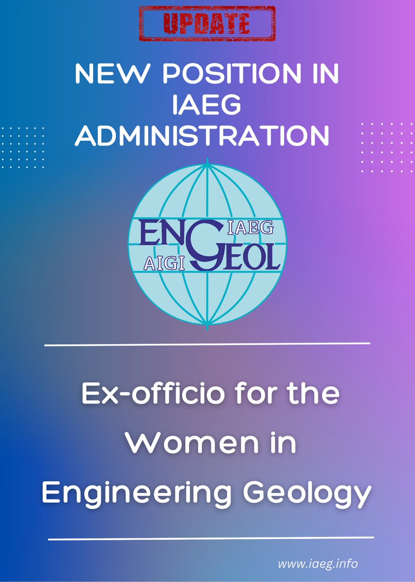
We are proud to announce the creation of a brand-new and important role within IAEG —the "Women in Association Committee" At IAEG, we are committed to fostering diversity, equity, and inclusion, and this committee will play a pivotal role in achieving these goals. #IAEG
Our new paper: "Satellite Imagery for Rapid Detection of Liquefaction Surface Manifestations: The Case Study of Türkiye–Syria 2023 Earthquakes". Mapping over 1800 sites with #liquefaction & lateral spreading features from the Feb 6 2023 #earthquakes https://t.co/dPcO6REJ3W
#Engineering_Geology is the science devoted to the investigation, study & solution of the engineering problems which may arise as the result of the interaction between geology and the activities of man as well as to the prediction and of the development of measures for prevention
Ανακοινώνουμε τη δημιουργία Υποτροφίας εις μνήμη του Βάιου Βλάχου για την ενίσχυση της κατεύθυνσης Τεχνικής Γεωλογίας και Περιβάλλοντος του ΠΜΣ Εφαρμοσμένη και Περιβαλλοντική Γεωλογία του Τμήματος Γεωλογίας @Auth_University.
Ανοίγουμε 🧵 όπου δίνουμε περισσότερες πληροφορίες:
We would like to thank Professor Nikolaos Vlachopoulos and Dr. Efrosyni-Maria Skordaki for the opportunity they gave us to get to know their work. We thank them for their fruitful and very interesting speeches.
Check out our #ResearchTopic on 'Contemporary Characterization and Modeling of Earth Processes: A Multidisciplinary Approach'. Led by @srdjanGeo, @gpapatha, @VasileiosMarin1 and @matjazperc, learn more about the collection and register your interest here: https://t.co/8Q0Ts6OTzb
A preliminary report of liquefaction phenomena triggered by the Feb 6 2023 earthquake in Turkey/Syria can be downloaded via the following link. We mapped 750 sites with liquefaction and lateral spreading using EO #earthquake#Turkey#Syria https://t.co/uF5wjKoBlg @gpapatha
According to modelled rockfall trajectories, it is evident that the proposed rockfall protection measures (i.e. catchment fences) should be installed at the first stages of the trajectory and not near the road where they are now 4/4
Validation of the selected trajectory was based on silent witnesses along the path of the rockfall and the impact (endpoint) on the road. Based on preliminary results, we can highlight the short time of the rockfall duration, approximately 8 sec 3/4
A rapid simulation of the rockfall trajectory was performed by our team (@gpapatha@SotisValkan and Maria Taftsoglou) based on a preliminary point cloud. The volume of the detached block was considered as 100 m3 and the number of the trajectory simulations was 50 blocks 2/2
On Thursday morning, December 1st, a boulder detached from a limestone rock cliff at approximately 230 m. elevation and landed on the Highway connecting Athens - Patras in Greece causing damage to two vehicles and partial road closure. 1/4
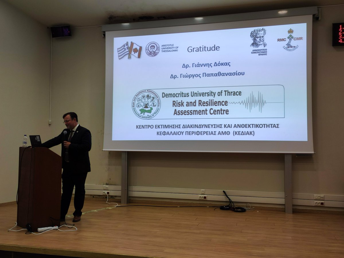
Participation of the Geological Hazards Group of Risk and Resilience Assessment Center - ΚΕΔΙΑΚ ΠΑΜΘ in the 16th International Congress of the Geological Society of Greece with three presentations (GSG2022; October 17-19, 2022, Patras, Greece) #gsg2022
Preliminary co-seismic offset along Longitudinal Valley fault, September 18 M6.8 #earthquake in #Taiwan, using Copernicus #Sentinel2 imagery; there is a ~1-2m left-lateral offset along the valley that roughly follows the mapped LV fault trace. E-W component not clear due to noise