November is Native American Heritage Month! Each day, the AWC will be posting an Indigenous place name from the geographic features of Utah. These place names come from our digital humanities project, https://t.co/mNJIkGCq2h.
Follow to learn the Native place names of Utah!
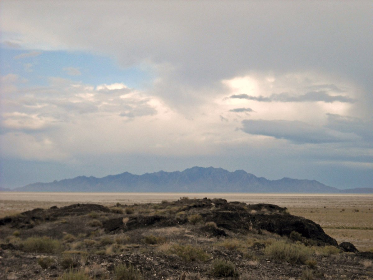
The Southern Paiute word for the Little Salt Lake is Paragoon, meaning “vile water.” Settlers renamed it Little Salt Lake in contrast to the larger GSL in the north. Due to the diversion of water for the irrigation of crops, it is now an arid playa.
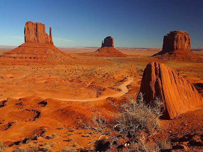
Tsé Bii’ Ndzisgaii meaning “stretches of treeless areas” or “clearings among the rocks” comes from the Navajo language. Known for its iconic landscape, Monument Valley has long been a sacred place for the Navajo.
The Southern Paiute word for the Black Mountains in the southwest corner of Utah is To-no-quitch-i-wunt. This mountain range borders the edge of the Escalante Desert and Parowan Valley. Travelers along the Old Spanish Trail would pass through these mountains.
Today we know these mountains as the Oquirrhs, which comes from the Goshute word meaning “wooded mountain.” But the Goshute call the western slope Apa-ya-wi-up meaning the “place of the weeping ancestors.”
The Ute name for the Kanosh Indian Reservation, Kan-osh, means man of white hair. In 1980, the Paiute Indian Tribe of Utah Restoration Act established federal recognition of the Paiute Indian Tribe of Utah and its five bands: Cedar, Indian Peaks, Kanosh, Koosharem, and Shivwits.
In the 1860s, the US army began using the creek as a water source for Fort Douglas. And Mormon settlers used sandstone from the canyon for the foundation of the SLC Temple. Today, the creek flows through the UofU and is a Resource Natural Area.
The Dugway Mountains reside in Utah’s West Desert, the traditional homeland of the Goshute. The Dugway Range is known to the Goshute tribe as Aah-Tempi meaning “pale rock.” In Western Shoshone the range is called Arim-pi.
The Quitchupah Creek area is sacred to the Paiutes. Quitchupah means Watering Places, and the area contains many important spiritual, medicinal, and gathering places. The Paiutes hold connections to this area through these places and the rock art in the canyon.
Tribes continue to hold strong connections to this land, and in 2016 it was established as a national monument. The area is co-managed by the USFS and BLM with the Bears Ears Commission - a coalition of 5 Tribal Nations with ties to the land.
For the Navajo, the Bears Ears Buttes hold historical significance. During the Long Walk, where more than 11,000 Navajo were forced to internment camps, Navajo people used the mountains and canyons to hide from the US military in order to escape removal from their homelands.
Early Spanish maps referred to Utah Lake or the Provo River as Timpanogo, but in the late 19th century federal surveyors began applying the name to the nearby mountain instead.
Mormons arriving in the mid 19th century began calling the major river Provo after French Canadian fur trader Étienne Provost. And during the period of displacement to the Ute reservation in the late 19th c, government mapmakers replaced “Timpanogos River” with “Provo River”
King’s Peak, Utah’s tallest mountain, was named after the USGS surveyor Clarence King. However, the Shoshone call this mountain “Tei’an-Ku-ai” in Eastern Shoshone, which means “a small peak” or “peak with a small tip.”
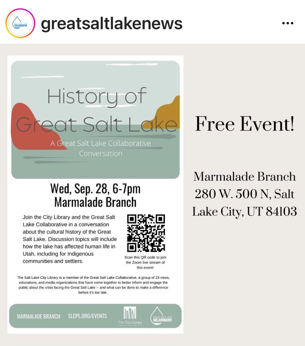
Please join Dr Greg Gregory E. Smoak, Director of the American West Center at the University of Utah and myself for a discussion about the Great Salt Lake tomorrow night.
In 1893 #JohnWesleyPowell saw a day when the West would run out of water and warned against the way water policy was approached. "You are piling up a heritage of conflict and litigation over water rights." Hear @greg_smoak tell the story
at https://t.co/Plac9khBs5