Meet https://t.co/RCKQFDXRKn - a free and easy way for us geo-geeks and businesses to come together and search, manage and share maps from across the globe #Soar.Earth #soar#maps#mapping
Faces of the unusual circular structure in the Egyptian-Libyan-Sudanese tripoint
🇪🇬🇱🇾🇸🇩
The eroded giant dome in northwestern Sudan, Jabal Kissu and Jebel Uweinat.
Processed #Landsat9 imagery now on @Soar_Earth depicts the pyramids & the terrain beauty
🌐https://t.co/BDBhynAehH
A sneak peek for the weather nerds! Soon at @Soar_Earth ❤️ 😉 ...literally thousands & thousands of feeds coming soon from many of the worlds premier geospatial data providers. @eumetsat_users
An animation of the full war time as reported on the maps by @War_Mapper . Accelerated after the Russian withdrawal from the north.
His maps can be explored on @Soar_Earth ,
like this last one of today:
🧐➡️https://t.co/7LFoPL756f
#Drone shot by Nigeria Flying Labs on @DJIGlobal Phantom 4 on a sunny day
📸 🌞
The Orthomosaic is now on @Soar_Earth, add annotations or comments.
https://t.co/DnfHVZAMWK
Processed on @pix4d and optimized to look & reflect better 🌟.
#dronephotography#UAV#gischat
We're honored to collaborate with @geosociety for #GSA2022.
Members can upload their imagery on https://t.co/yOQ7v9hQHM before GSA Connects 2022 to have it showcased in the exhibit hall.
https://t.co/dNtdi6Zloi
An award will go to the most inspiring map each month! 🧵1/2
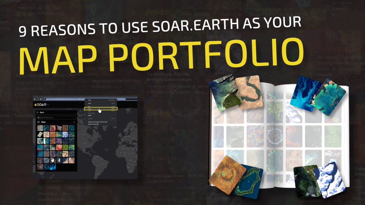
Uploading a map to your account lets you easily share it with anyone, without them having to download a huge file. They don’t even have to be a user to see it! Find out why you need to use https://t.co/yOQ7v9hiSe as your map portfolio. 🗺️
Article 👉: https://t.co/i7RJK2IMP0
Finally due to cloudy conditions this took a little longer to get but here it is! 📸 what a great shot too. Is that remnants of the avalanche?https://t.co/hehbHcBVym @sgascoin @icy_pete @DrewBrayshaw @mouthofmorrison@EricFielding @WaterSHEDLab
Join GSA member benefit partner @Soar_Earth in building the largest digital atlas of maps, aerial and drone images from around the world by uploading your own images any time before GSA Connects 2022, where all member-uploaded content will be showcased in the exhibit hall. 1/2
Which season is your favorite? 😍
🌸 Spring
☀️ Summer
🍂 Autumn
❄️ Winter
With https://t.co/yOQ7v9hQHM you can go back in time and compare satellite imagery. This enhanced piece was captured over Japan using #Sentinel.
Try it now: https://t.co/CEEPlnrUJB?