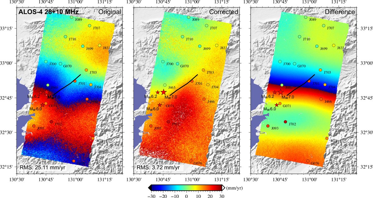
Sharing our paper titled An analysis of the potentials of L-band SAR satellites for measuring azimuth motion. Download the paper for free until November 15, 2024 at https://t.co/3in4ksaZVb
OPERA will host a free hybrid (online + in person) workshop on Friday, July 19, 2024, from 8:30 am – 1:05 pm Pacific Time at the Liberty Station Conference Center, San Diego, CA. To register please see our website https://t.co/sYWr6FCfF1. We hope to see you there!
New tutorials at NASA's #ASFDAAC demonstrate how to visualize, analyze, and transform #NISAR sample data products. Find tutorials for a #GIS environment (ArcGIS Pro, QGIS), data exploration with Panoply, and data transformation using #GDAL commands. #SAR
https://t.co/frK0ikyP44
@gfun@phaneritic@TTremblingEarth@patton_cascadia@timblor The Caltech-JPL ARIA project has posted interferograms and other products, including pixel offset tracking and damage proxy maps, for many large earthquakes in the last decade. See https://t.co/Yoi6deN8j2 The interferograms and pixel offset maps are under “displacement” folders.
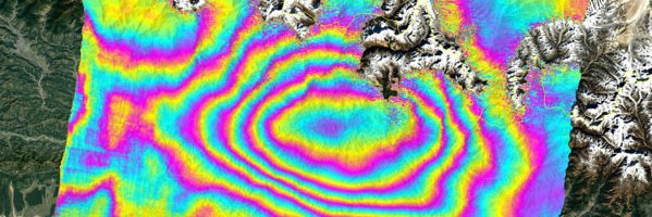
@MohseniAref@Wangyu_1979 It looks like the new interferogram is from JAXA ALOS-2 stripmap data. JAXA has only made their ScanSAR data free to all users.
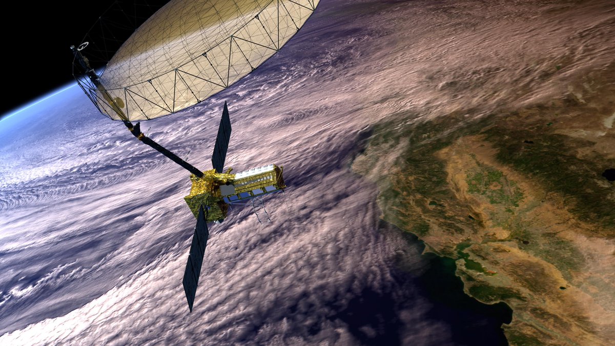
We’ve teamed up with @ISRO on the NISAR mission, a satellite that will measure changes on Earth’s surface in fine detail. Data from NISAR can help us better manage natural resources, and understand the pace and effects of climate change. https://t.co/FUEenT8PmS
@JosephShea I have not been following the precipitation in British Columbia this winter. I did not realize it was so far below average. The Sierra Nevada in California is also far below average. It seems nearly all the atmospheric rivers have been hitting Oregon and Washington so far.
@gfun@mrbrianolson@DeeNinis@SotisValkan JAXA has provided the data to US-based researchers through the NASA-JAXA ALOS-2 agreement. It will be at the ASF ALOS-2 restricted archive.
It seems the main fault rupture likely reached the surface offshore north of the Noto Peninsula.
@TeresaRamirezH The SAR images analyzed by GSI Japan show the coastline moved up to 200 meters on the north side of the Noto Peninsula.
https://t.co/T6c10wrF1I