Top Tweets for #12monthsofOSM

This week's task for #12monthsofOSM: Map land use, buildings, and parking lots in retail and business districts. Focus on completely mapping a retail or business district in your area, or one that you use frequently.

In December, we're mapping local commerce for #12monthsofOSM. This week's task: map shops in your local neighborhood. Place a node at the location of the shop with the shop=* tag as well as name, opening hours, & other useful information. More info: https://t.co/eSPgWNaEuY

This month, contribute to #OpenStreetMap to help improve the quality and quantity of critical map data needed for road safety improvement as part of #12MonthsofOSM. Learn more in this blog post: https://t.co/5inC3fkB2T

Do you know about @Visionzeronet? This collaborative, nonprofit campaign helps communities set & reach the goal of #VisionZero — eliminating traffic fatalities and severe injuries among all road users — while increasing safe, healthy, equitable mobility. #12monthsofOSM

This week's task for #12monthsofOSM: add traffic calming features in your area. Many features, besides speed humps, can be difficult to view and map from satellite/aerial imagery. Review the list of features to map on the #OSM wiki here: https://t.co/Z1tFQyu1UF. #MappingMonday

Road safety is our focus for #12monthsofOSM in November. Remotely map speed humps in your local area. To map speed humps, add a node to the HIGHWAY feature at the location of the speed hump. Tag the node with traffic_calming=hump. More info on the wiki: https://t.co/WjnXQEH5E3

Road safety is November's theme for #12monthsofOSM. From examples like this, it's clear that there is much to be done to improve safety for pedestrians and bicyclists.

People walk for health, fun, and out of necessity, to work and school and other errands. On and off major throughways, drivers hit people; here are five years of collisions between drivers and pedestrians (walk/wheelchair, non-bike).
https://t.co/A73RNyiF8a

Did you know? Over 1.35 million people die from traffic-related deaths each year. The Global Road Safety Partnership, hosted by #IFRC, serves to address this crisis by connecting governments, civil society, & businesses to find solutions. https://t.co/FUe4YMyxfq #12monthsofOSM

As October comes to a close, we're wrapping up this month's theme of healthy communities. This blog post synthesizes the ideas and resources we've shared all month: https://t.co/NTQTx0HFGR
#12monthsofOSM #healthycommunities #OpenStreetMap

Food access is an essential component of healthy communities. Learn about food access in Detroit and @detroitfoodmap from cartographer & research director @alexbhill in this Mappy Hour presentation from 2021: https://t.co/eCya1kV1ec #12monthsofOSM #foodaccess #OpenStreetMap

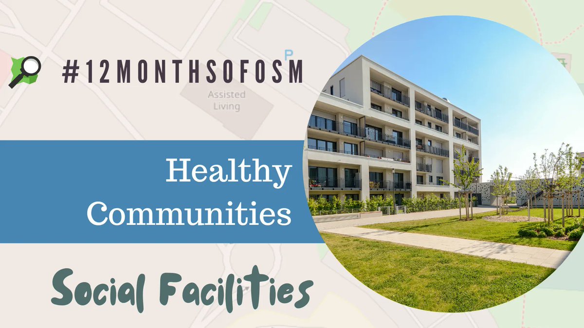
Map social facilities in your community for #12monthsofOSM. Social facility types include clothing and food banks, shelters, and assisted living homes. For a full list, review this OSM wiki page: https://t.co/jdcx9pKcfP
#MappingMonday #OpenStreetMap #healthycommunities
This week's task for #12monthsofOSM: community gardens. For gardens with assigned plots, map with landuse=allotments. https://t.co/qvj3oonykv. Collectively maintained gardens, map as leisure=garden + garden:type=community https://t.co/ocX5YeBand #wellnesswednesday #healthyliving

Access to healthy, local food is important for local economic resilience & can contribute to reducing barriers to food security. Map farmers markets in your area with amenity=marketplace. More information can be found on the OSM Wiki here: https://t.co/bzPmq8zn0l #12monthsofOSM
Robust social infrastructure is a critical component of resilient, healthy communities. In October, we will share ideas and resources to help you map features like community centers, libraries, farmers' markets, and more.
#12monthsofosm #healthycommunities #openstreetmap

New blog post! Learn about mapping for emergency preparedness, September's theme for #12monthsofOSM: https://t.co/dsBorMLMjM #12monthsofosm #OpenStreetMap #nationalpreparedenessmonth #NPM2022
#BeReady
It's #MappingMonday! Learn about distraction-free maps in this excellent blog post from @resiliencymaps https://t.co/VHTOZlIFM3 #12monthsofOSM #nationalpreparedenessmonth
Need some mapping ideas? Here's a task for #12monthsofOSM: mapping hazardous features. Walk around your neighborhood & consider what could become a hazard in the event of an earthquake, tornado, or another disaster. Mapping these locations helps all who rely on #OpenStreetMap.
Do you know about the Enhanced Vulnerability and Capacity Assessment (EVCA)? This participatory process enables communities, with the support of @ifrc, to become more resilient through risk assessment, analysis, & action: https://t.co/01ZpNlTlxd #12monthsofOSM #mappingmonday

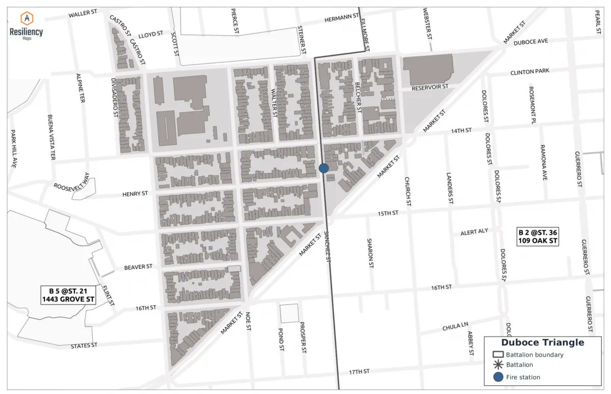
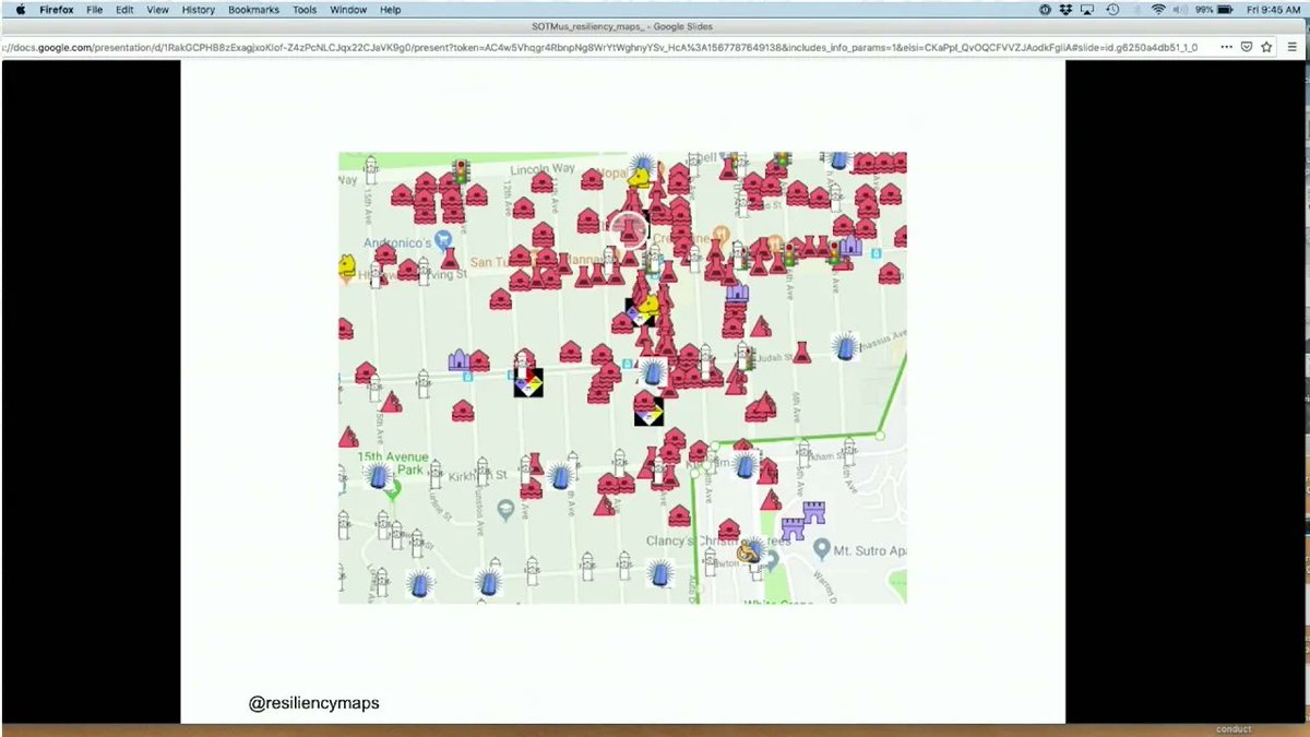
#ThrowbackThursday to #SOTMUS2019. Learn about the remarkable work of @resiliencymaps in honor of #NationalPreparednessMonth: https://t.co/r6hJyygd41
#Tbt #OpenStreetMap #12monthsofOSM
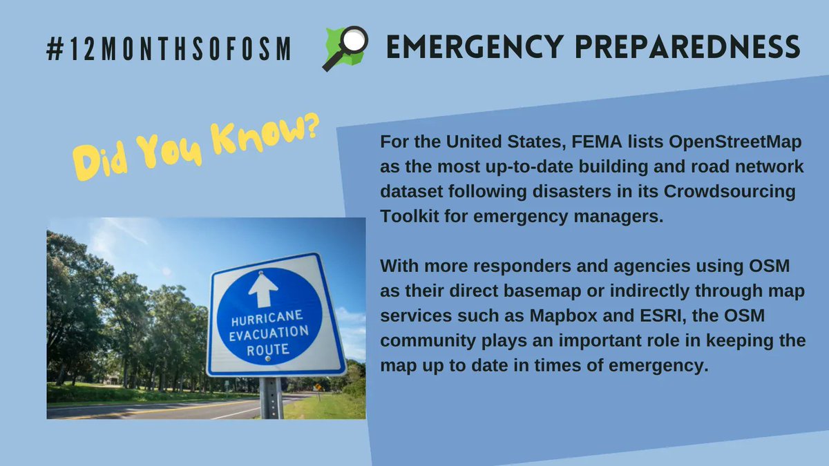
Did you know? FEMA lists #OpenStreetMap as the most up-to-date building and road network dataset following disasters in its Crowdsourcing Toolkit for emergency managers. https://t.co/qPThMx1RNP #NationalPreparednessMonth #12monthsofOSM
Last Seen Hashtags on Sotwe
Most Popular Users

Elon Musk 
@elonmusk
240.1M followers

Barack Obama
@barackobama
119.3M followers

Donald J. Trump
@realdonaldtrump
111.6M followers

Cristiano Ronaldo
@cristiano
108.9M followers

Narendra Modi
@narendramodi
107M followers

Rihanna
@rihanna
97.3M followers

NASA
@nasa
92.1M followers

Justin Bieber
@justinbieber
90.6M followers

KATY PERRY
@katyperry
86.8M followers

Taylor Swift
@taylorswift13
80.6M followers

Lady Gaga
@ladygaga
72.2M followers

Kim Kardashian
@kimkardashian
69.4M followers

YouTube
@youtube
68.6M followers

Virat Kohli
@imvkohli
68.5M followers

Bill Gates
@billgates
63.4M followers

The Ellen Show
@theellenshow
62.5M followers

CNN
@cnn
61.9M followers

Neymar Jr
@neymarjr
61.1M followers

X
@x
60.9M followers

Selena Gomez
@selenagomez
59.9M followers