Top Tweets for #Dronedeploy

From the ground to the sky. 🚁
PCL Construction is using @DroneDeploy + AI to turn reality capture into a real-time view of jobsite progress.
👀 See how it all comes together.
#DroneDeploy #RealityCapture #ConstructionAI #Jobsites #IndustryNews #Innovation

See & Spray updates, SenseApply at the Jenner Ag booth, and the XAG P150 drone via DroneDeploy— Smart Tech is moving fast.
👉 Watch the full episode here: https://t.co/XDMpkO2sUm
#MAGIE #SmartTech #SeeAndSpray #JohnDeere #CaseIH #PatriotSprayer #DroneDeploy #PegasusRobotics #XAG

🚁 DJI Mini 4 Pro Gets MSDK Support! #Dji remote pilots wake up it's finally hear! The realise of the Mini 4 Pro with tech advancements, including advanced flight automation. We can also utilise apps such as #Litchi,
#DroneDeploy, #SkyBrewNews.
https://t.co/evfllJn0t1

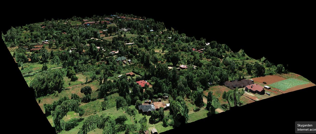
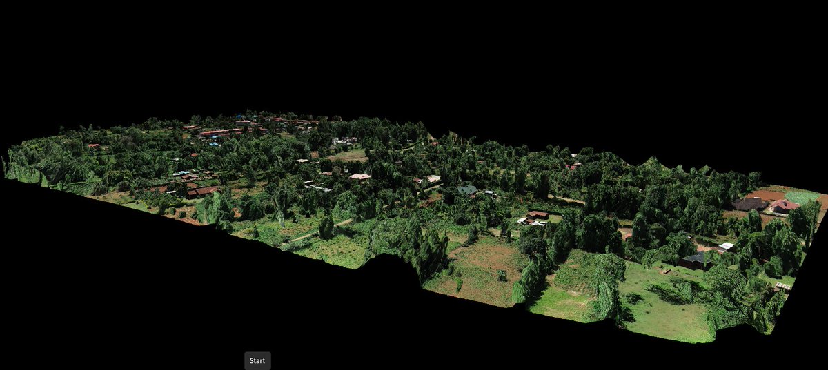
✨ Perfectly stitched 3D model of a rural neighborhood, reconstructed from high-resolution drone images taken by DJI ZENMUSE p1, using #DroneDeploy. This 3D orthomosaic is a high-resolution, distortion-free map, created by seamlessly combining multiple images.📡#GeospatialMapping
A 3D model of an excavation pit and stockpiles as reconstructed from aerial oblique imagery. The DJI M350 airframe coupled with L1/L2 sensor is a great combo when it comes to engineering applications such as volumetric estimations, stockpiling and earthworks. #Dronedeploy


Stand count by drone #DroneDeploy #Agrigold #Grow24 Quick demonstration of utilizing a drone for stand counts at a strip trial site in Obion County TN.

🌾 Attention all growers! 🌾
Get ahead of the game this growing season with DJI Mavic 3 Enterprise and @dronedeploy for stand counts and crop scouting! 🌱
Click here to learn more 👉 https://t.co/t6Ef2y0r8e
#DJI #DJIEnterprise #DroneDeploy

Kudos to the @DroneDeploy team! Exciting news. Can we expect this in the January release? 🚀 #DroneDeploy

With the holidays on approach, we fulfilled our customers' feature wishlist to help them do their jobs more efficiently.
From new camera controls to enhanced machine learning, here are our favorite new features: https://t.co/scMRRyhdzE
#realitycapture


Our progress photos are reaching new heights! Thanks to our associates at @DroneDeploy we were able to shoot this incredible timelapse at the University Medical Center Health and Wellness project!
#BuildingYourFuture #DroneDeploy #UMC

#dronedeploy
A drone mission in hoima @HoimaResorHotel .
We use drone deploy or Dji drone pilot software with the use of #KMLfiles to carry out our flight missions. @osmuganda @andy_kanuganda @AMbabani
@tmsmronald @hotosm @MoICT_Ug
#drone #dronemapping #gis

Jorge will be another of our drone pilots! Today we went to the San Carlos Marina and took some footage. Day is cloudy unfortunately but Jorge learnt in 2 days how to fly a DJI drone and #DroneDeploy


Mapeamos exitosamente este huerto de naranjas utilizando el #MavicAir2S y #DroneDeploy, y procesado los datos con #Solvi y #Pix4DFields. Nuestro objetivo no es solo contar los árboles 🌳, sino, lo que es más importante, identificar los árboles faltantes.
Además de eso, hemos obtenido los índices de vegetación VARI y GLI, los cuales nos ayudan a evaluar el estrés de las plantas según los niveles de clorofila y el estado de la fotosíntesis. Esta valiosa información nos permite generar mapas de prescripción para la aplicación en tasa variable de agroquímicos según las necesidades específicas de las plantas. De esta manera, los agricultores pueden ahorrar en pesticidas, herbicidas, fertilizantes, agentes de maduración y otros productos foliares. Estos mapas de prescripción se pueden ejecutar ya sea mediante drones agrícolas como el #AgrasT40 o mediante tractores 🚜.
Supongamos que el agricultor necesita cubrir 100 hectáreas con 10 litros por hectárea de producto, lo que equivale a 1,000 litros. Con una reducción del 5%, se ahorrarían 50 litros. Suponiendo un costo de $250 pesos por litro, eso se traduce en un ahorro significativo de $12,500 en una sola pasada.
En este caso conviene contratar el servicio, sin embargo, si son más de 1,000 hectáreas, es prudente pensar en un drone para la propia operación. @Agro_Byte
#AgriculturaDigital #AgriculturaDePrecisión #Eficiencia #Sostenibilidad #ManejoDeCultivos


TikTok of the day:
Today we mapped some orange trees using a #MavicAir2S and #dronedeploy. We will process the captured data using multiple #digitalagriculture software #guaymas #orangetrees #agrobyte #droneluis

Another great day mapping with #Flyguys , #Dronedeploy and #DJI #genxdrones #Austin #Texas #turner #dronephotography #photogrammetry #Drones

Please join let us be able to unlock the full potential of (UAV) Unmanned aerial vehicles are a class of aircrafts that can fly without the onboard presence of pilots #drones @AstralAerial @UgandaRedCross @Makerere #dronedeploy @GovUganda @osmuganda

✈️ Are you a drone pilot, an enthusiast, or a business looking to acquire or use #drone skills?
We invite you to register and join our vibrant community where we offer a space to connect,
🔗 Register here https://t.co/dq6lUtH01b
1/2


Stand count season is here. V-3 corn. 14 minutes of flight time. 29 counts. #droneDeploy #PlantPioneer23


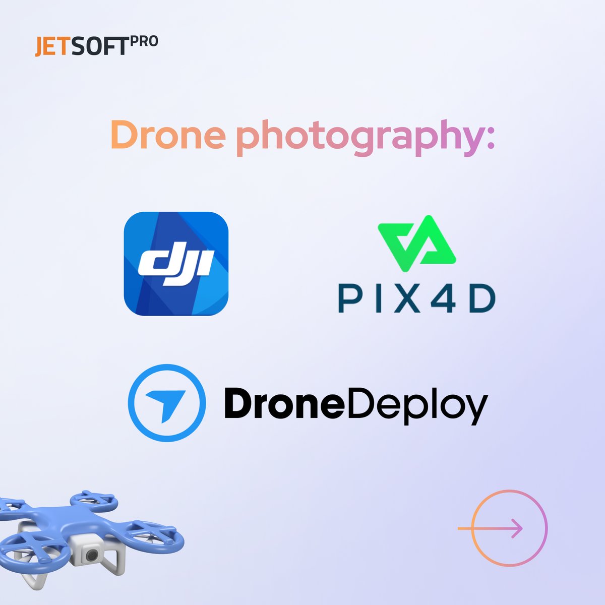
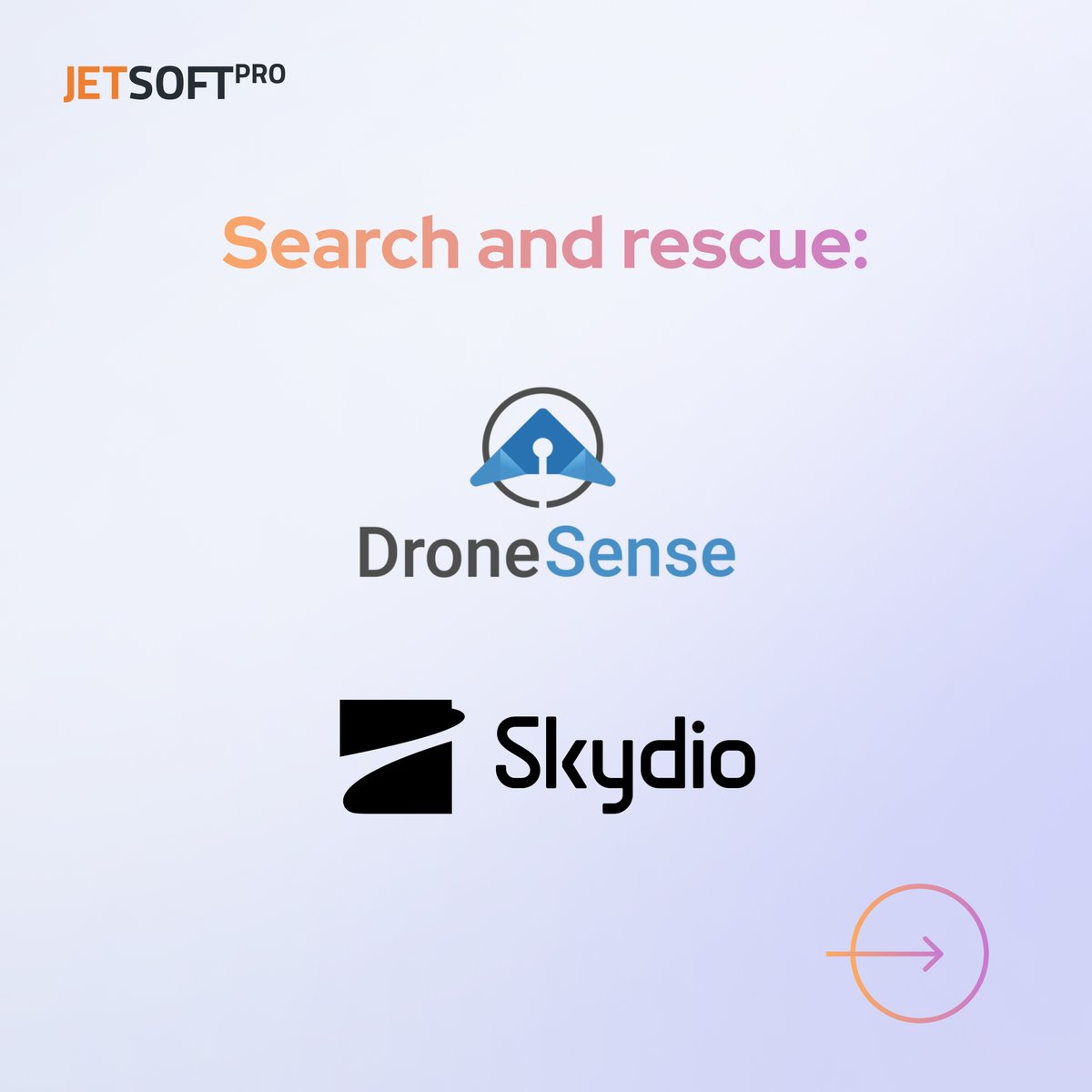
Popular #software for #drone photography includes DJI GO, #DroneDeploy, and #Pix4D. Software such as DroneSense and Skydio can help with search and rescue operations.
🔗Check our latest blog post to learn more:
https://t.co/nTJRPV7SPL

Have a look at what lies beneath your drywall - get a full overview of all your wiring and plumbing with WorkerBz 360 walkthroughs today! #dronedeploy #drone #.construction
Get the edge on your construction projects with a 360 Walkthrough – efficient, accurate, and cost-effective. #WorkerBz #dronedeploy #
Most Popular Users

Elon Musk 
@elonmusk
240.7M followers

Barack Obama
@barackobama
119.2M followers

Donald J. Trump
@realdonaldtrump
111.7M followers

Cristiano Ronaldo
@cristiano
110.8M followers

Narendra Modi
@narendramodi
107M followers

Rihanna
@rihanna
97.7M followers

NASA
@nasa
92.2M followers

Justin Bieber
@justinbieber
90.9M followers

KATY PERRY
@katyperry
87.8M followers

Taylor Swift
@taylorswift13
81.6M followers

Lady Gaga
@ladygaga
73.2M followers

Virat Kohli
@imvkohli
70.1M followers

Kim Kardashian
@kimkardashian
69.8M followers

YouTube
@youtube
68.7M followers

Bill Gates
@billgates
64M followers

Neymar Jr
@neymarjr
62.9M followers

The Ellen Show
@theellenshow
62.4M followers

CNN
@cnn
61.9M followers

Selena Gomez
@selenagomez
60.9M followers

X
@x
60.8M followers