

Top Tweets for #PIX4DMapper

「Pix4D Certified Trainer Program 2025」に挑戦させて頂きました。全て英語のオンライン試験ですが、全製品合格しました!
認定トレーナーとして、引き続き精進していきます。
#Pix4D
#CertifiedTrainer
#PIX4Dmapper
#PIX4Dmatic
#PIX4Dsurvey
#PIX4Dcloud
#PIX4Dfields
#PIX4Dreact
#PIX4Dcatch
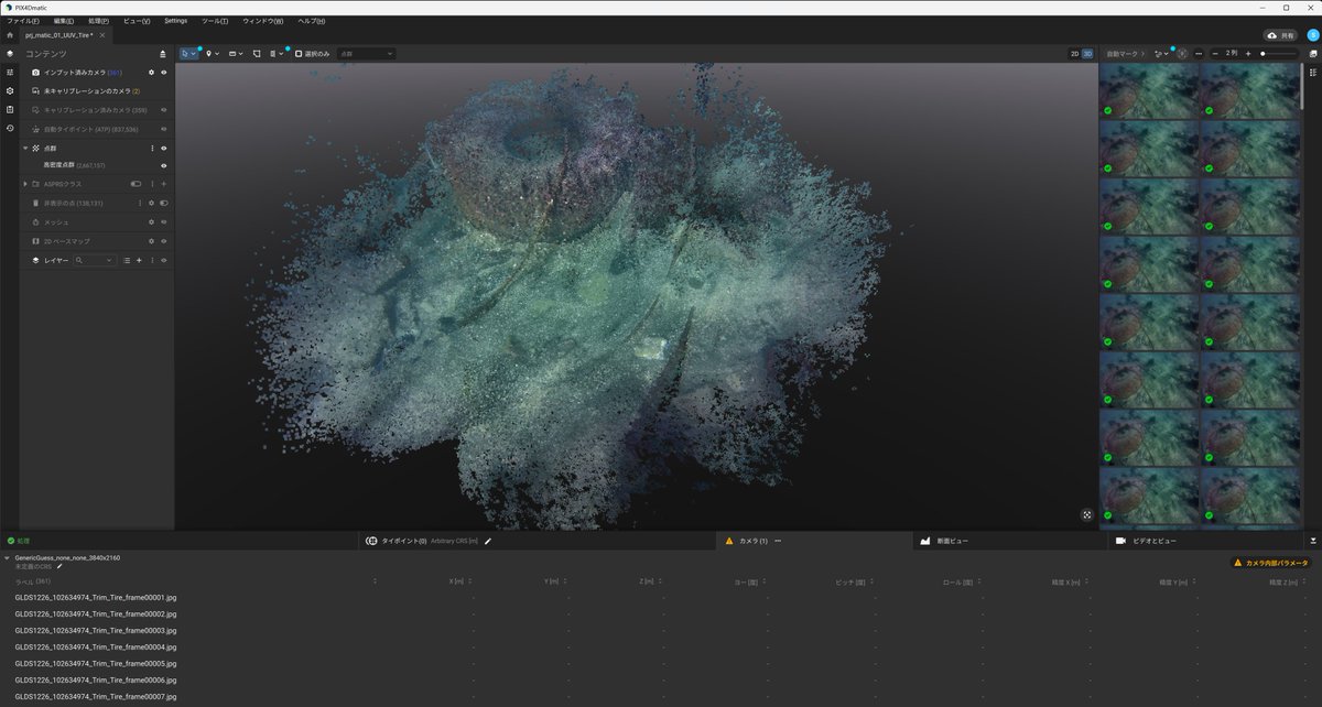
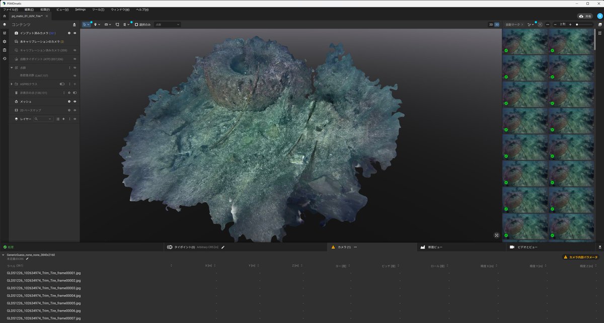
PIX4Dmatic v1.80.0 から「EXIF無画像が取り込める」ようになったので、さっそく「動画から切り出した画像」で試してみました。 2年半前に水中ドローンの体験をさせていただいた時の動画から切り出した画像で、水中にあったタイヤが点群とメッシュになってます。
#PIX4Dmatic
#PIX4Dmapper
#世代交代

昨日はPIX4DさんにPIX4Dcatch、PIX4Dmatic等の勉強会をしていただきました、SfMは凄いですね。
みなさま、有難うございました。
#PIX4D #PIX4Dcatch #PIX4Dmatic #PIX4Dmapper #PIX4Dsurvy #PIX4Dcloud #ntgeotecs #NTジオテックス


Revolutionize your photogrammetry projects with our comprehensive workbench, equipped with industry-leading software like Agisoft Metashape, Pix4D Mapper, Reality Capture, 3DF Zephyr, AutoCAD, Maya, Blender, Unreal Engine, and the latest AI technologies like NVIDIA Instant NeRF
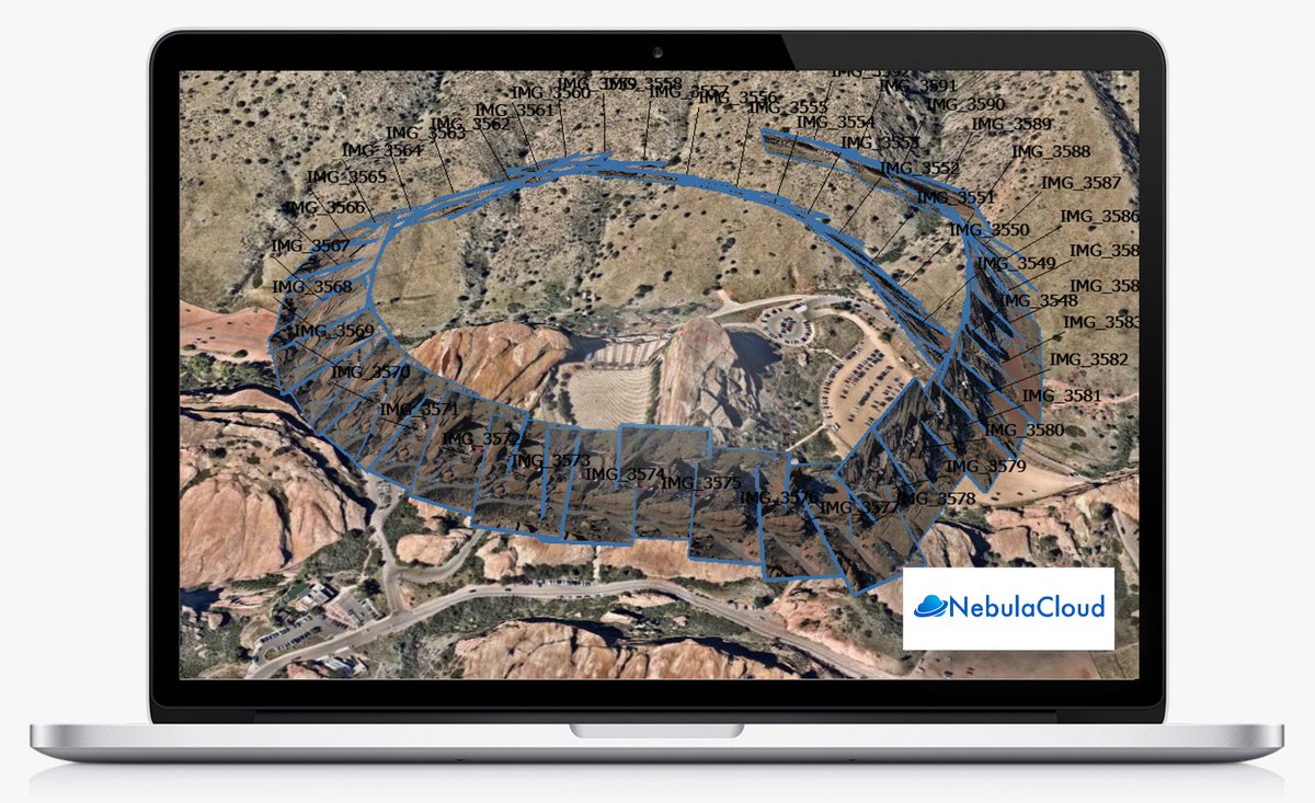
昨日に続き、6/6(木) 11:30~ JapanDrone展のPix4D社様ブースにて、ミニ講演をさせていただきます。
時代は「PIX4Dmapper」から「PIX4Dmatic」への世代交代のフェーズに入っています。某有名マンガの世代交代に例えて楽しく紹介するつもりです。
#JapanDrone展
#PIX4Dmatic
#PIX4Dmapper
#世代交代

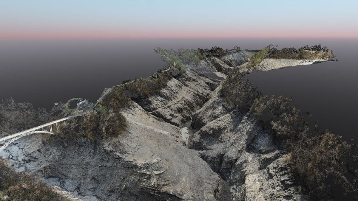
Another fantastic model from William Hawkins, over on LinkedIn, of the Upper Cretaceous Demopolis Chalk in Alabama. See the post for more details.
#vrgs #pix4d #pix4dmapper #geology #sedimentology #fieldwork #drones #3Dmodel #photogrammetry
https://t.co/ot5pXX4w2O

国産ドローンSOTENの機能紹介。
【オルソ画像撮影の調査(測量)飛行】
標準セットで可能。すでに港湾土木など公共土木の現場で使われています。PIX4DmapperとPIX4Dreactが正式サポート。
https://t.co/VzWINor9p6
#SOTEN #蒼天 #国産ドローン #ドローン #ACSL #PIX4Dmapper #PIX4Dreact #Metashape

Using #PIX4Dmapper, surveyors processed over 9000 images of Lake Vogorno in Switzerland. They reprocessed the project with #PIX4Dmatic, as it is particularly suited to large projects and can process thousands of images with accuracy. Find out more here: https://t.co/BGXtBzuYcj
We welcome Álvaro Ruiz from Coatzadrone as our newest Certified Trainer for #PIX4Dmapper!
Congratulations Álvaro!! 🎉
Interested in becoming a #Pix4D Certified Trainer, click here for more information: https://t.co/JYuLJimfYJ


#PIX4Dmapper に動画切り出しのような不連続的なソースを入れるとキャリブレーションが断続的になり、結果が数ブロックに分かれてしまうという知見を得た。RealityCaptureに突っ込んで1つのコンポーネントとしてまとめられた画像のみを選別して入れなおした方が良いかもしれない。
Studio Calastri overcame mapping challenges with #Pix4D. The project was originally done in #PIX4Dmapper and then reprocessed in #PIX4Dmatic, saving time, and improving the quality of the results! read more here: https://t.co/czLwDXHjI5

Last chance to register for the #PIX4Dmapper Essentials online workshop. Discover how to maximize the potential of PIX4Dmapper and #PIX4Dcloud Advanced. Join us from September 26th to 28th, 9 AM to 2 PM MDT. Don't let this pass you by! Sign up here: https://t.co/mD6Rx7JEMr

Register now for our #PIX4Dmapper in-depth online workshop! From Oct 24 - 26, 9am - 2pm MDT. Learn how to get the best results from your workflow. Save 130 USD using the EARLYBIRD coupon code (valid until Sept 26). Don’t miss out! https://t.co/9RMczdKb6n

Last chance for early bird pricing! Save 100 USD with the EARLYBIRD coupon code, valid until Aug 29! Register now to attend the #PIX4Dmapper Essentials online workshop. Sept 26-28 9am-2pm, (MDT) https://t.co/hZKrgtBhpk

Excited about drones & mapping? Last call for registration to our #PIX4Dmapper Essentials online workshop: https://t.co/5Vp9letfWN. Learn best practices for capturing RGB images and creating 2D/3D models with PIX4Dmapper & #PIX4DcloudAdvanced! Aug 22-24, 9:00 am - 2:00 pm (MDT)


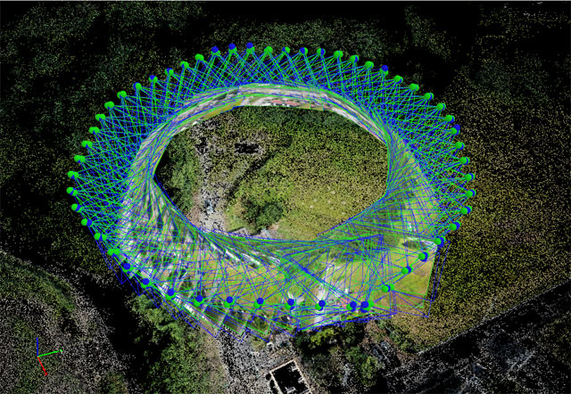
The view from above is better! One team in #Norway is using #drones and #PIX4Dmapper to map coastal environments and ecosystems for research and #conservation efforts. Read their story on our blog: https://t.co/URn9oGBBdz

Swedish company Drönartjänst used #drones to prevent light pollution by mapping a city at night. This is how they used #PIX4Dmapper and #PIX4Dcloud Advanced for their project: https://t.co/PvzTi1APPM

Last call for our upcoming #PIX4Dmapper Essentials workshop on May 16-18! Learn how to produce accurate 2D and 3D georeferenced representations of reality, including orthomosaics and 3D models. Register now! https://t.co/lK42hYiwtQ
#photogrammetry #dronemapping #landsurveying

Don't miss the special offer! #PIX4Dmapper license holders can save up to 70% on our geospatial bundle and add #PIX4Dmatic and #PIX4Dsurvey to their portfolio! Unlock new features, projects, and capabilities! https://t.co/zatsn0iD5c
#pix4d #geospatial #vectorization

Last Seen Hashtags on Sotwe
เย็ดเจ๊
Seen from Thailand
twerk #white
Seen from United Kingdom
minichatt
Seen from Argentina
mother sleeping
Seen from Indonesia
minichat #anxiouspanda #full
Seen from Singapore
سَُــكَُـسَُ
Seen from Saudi Arabia
کلیپ_سکسی
Seen from Netherlands
CaughtOnCamera
Seen from Ireland
milf son
Seen from Spain
gay dubai
Seen from Egypt
Trends for you
Most Popular Users

Elon Musk 
@elonmusk
241.5M followers

Barack Obama
@barackobama
118.8M followers

Cristiano Ronaldo
@cristiano
114.5M followers

Donald J. Trump
@realdonaldtrump
111.8M followers

Narendra Modi
@narendramodi
107.1M followers

Rihanna
@rihanna
98.7M followers

NASA
@nasa
92.3M followers

Justin Bieber
@justinbieber
91.8M followers

KATY PERRY
@katyperry
90M followers

Taylor Swift
@taylorswift13
84M followers

Lady Gaga
@ladygaga
75.5M followers

Virat Kohli
@imvkohli
73.5M followers

Kim Kardashian
@kimkardashian
70.9M followers

YouTube
@youtube
68.8M followers

Neymar Jr
@neymarjr
66.5M followers

Bill Gates
@billgates
65.3M followers

Selena Gomez
@selenagomez
63.1M followers

The Ellen Show
@theellenshow
62.2M followers

CNN
@cnn
61.7M followers

X
@x
60.7M followers