Top Tweets for #UNMapsConference

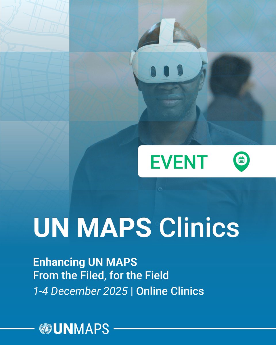
🗺 DAY 4 and Closing Session of the UN Maps Clinics 🗺
Today's session focused on 3D Tools and Features 💻, and Ways Forward ⏭
#UNMapsConference #unitednations #geospatial #UNMaps #UNMappers #openstreetmap #GIS #peacekeeping #UNGSC #opendata #maps #UNgeospatial #mapservices
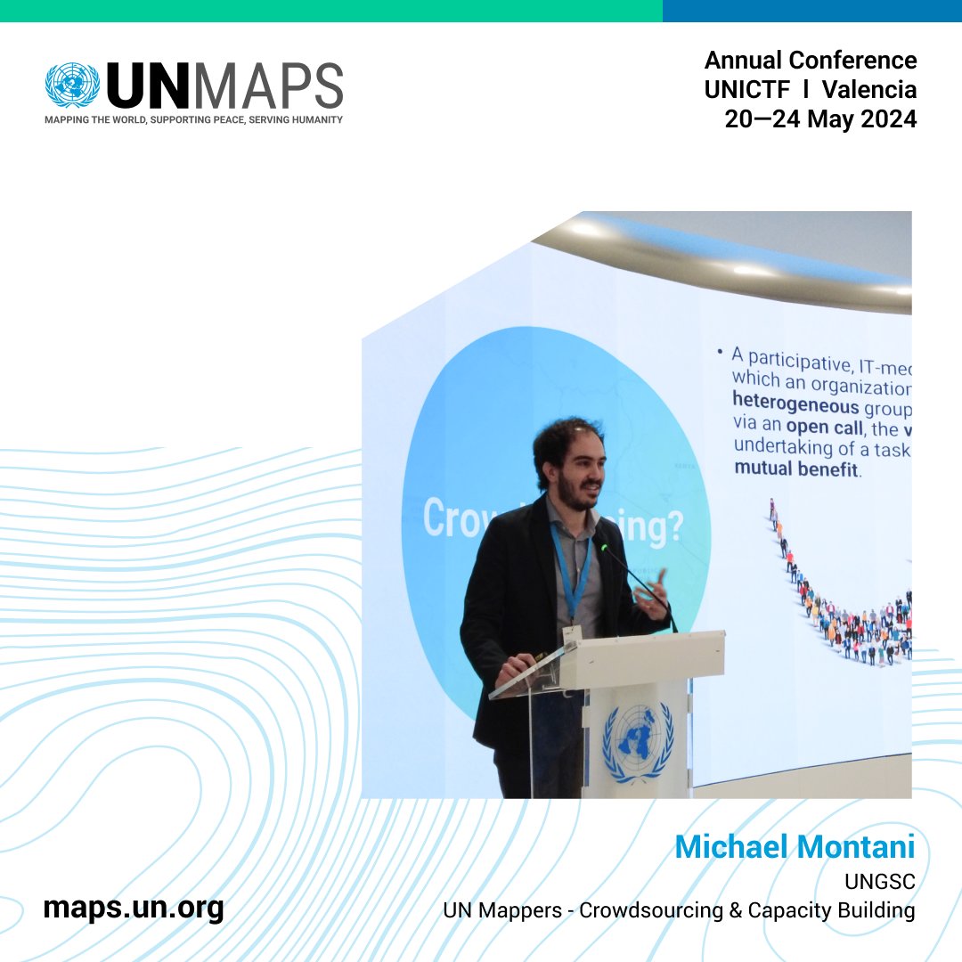
🔎Mr. Michael Montani, Community Engagement Coordinator, shared about field mapping and data validation using collaborative editing platforms such as #OpenStreetMap.
#UNMapsConference #unitednations #geospatial #UNMaps #UNMappers #openstreetmap #GIS #opendata #maps #mapservices

🗺 DAY 2 of the UN Maps Clinics 🗺
Today's session focused on Geospatial Information and Mission Dashboards.
Conference Agenda here: 👉 https://t.co/BKwf8WmWpO
#UNMapsConference #unitednations #geospatial #UNMaps #GIS #peacekeeping #UNGSC #opendata #maps #mapping #mapservices

#UNMapsConference - closing sessions
The #OSM course and Mapathon session to support UNMOGIP in Jammu and Kashmir saw the remote participation from UN Mappers and OSM communities, mapping together with the audience in the room, reinforcing the value of collaborative mapping🗺️💙

#UNMapsConference - closing sessions
Birds of a Feather sessions covered Automated Crop Monitoring, leveraging #StoryMaps, Esri Resources, and transforming @UNCCD reporting with #geoinformation, offering valuable insights to all attendees.
#UNMapsConference - closing sessions
During the Datathon UN staff was encouraged to bring their own data and explore the #UNMaps Geoportal, fostering hands-on learning and collaboration in geospatial solutions.

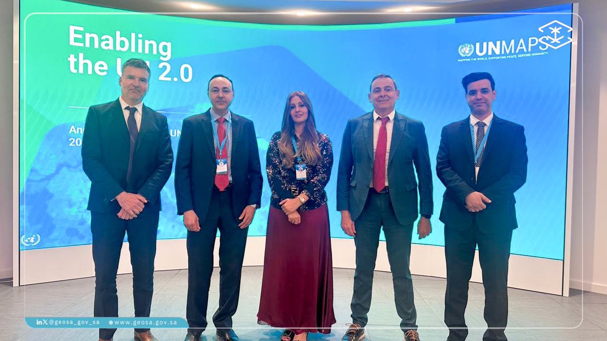
بدعوة من مركز خدمات الأمم المتحدة ( UNGSC) @UN_Mappers شاركت #الجيومكانية بوفد لحضور مؤتمر خرائط الأمم المتحدة ٢٠٢٤ #UNMapsConference
بهدف بحث سبل التعاون وبناء القدارات الوطنية في المجالات الفنية، والاطلاع على أفضل الممارسات التي تطبق في الأمم المتحدة لرسم ونشر خرائط العالم.
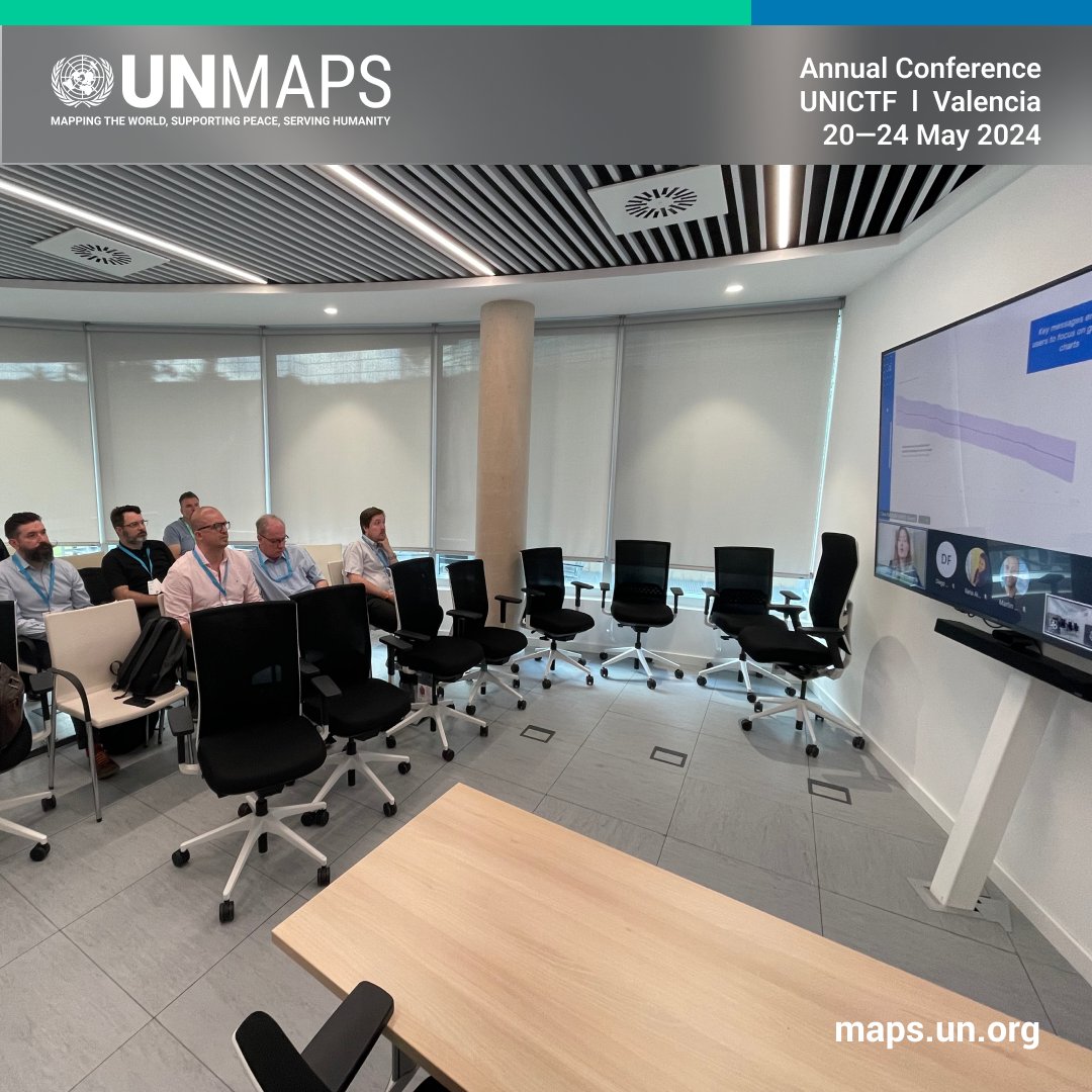
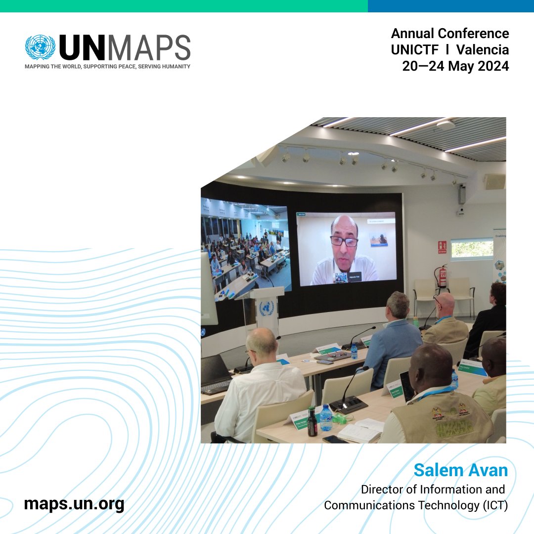
Mr. Salem Avan underscored the crucial role of #geospatial work at the UN and the UN Maps alignment with UN 2.0 principles and the Quintet of Change.
Thanking the participants, he bid farewell with hopes of seeing everyone at the next #UNMapsConference.
#UNMapsConference
In concluding remarks, Mrs. Giovanna Ceglie outlined the crucial role of #UNMaps in improving UN operations and humanitarian efforts. She expressed gratitude to all participants and organizers and wished a successful day for tomorrow's closing events.

#UNMapsConference
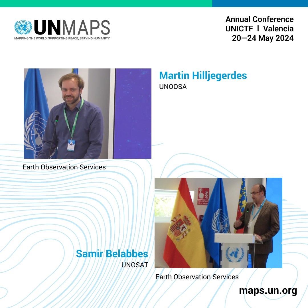
Mr. Martin Hilljegerdes presented the UN Spider dashboard and proposed a model to streamline satellite imagery agreements between the UN and providers.
Mr. Samir Belabbes outlined the different sharing mechanisms and coordination platforms provided by UNOSAT.
#UNMapsConference
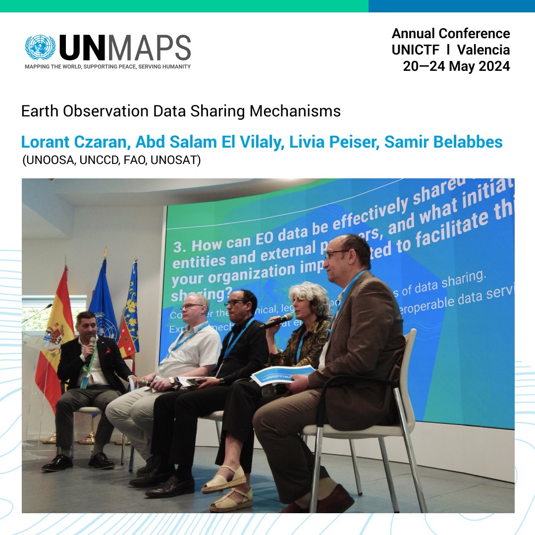
Moderated by Mr. Javier Neme, panelists Mr. Lorant Czaran (UNOOSA), Mr. Abd Salam El Vilaly (UNCCD), Mrs. Livia Peiser (FAO), and Mr. Samir Belabbes (UNOSAT) discussed #EarthObservation data sharing mechanisms.
#UNMapsConference
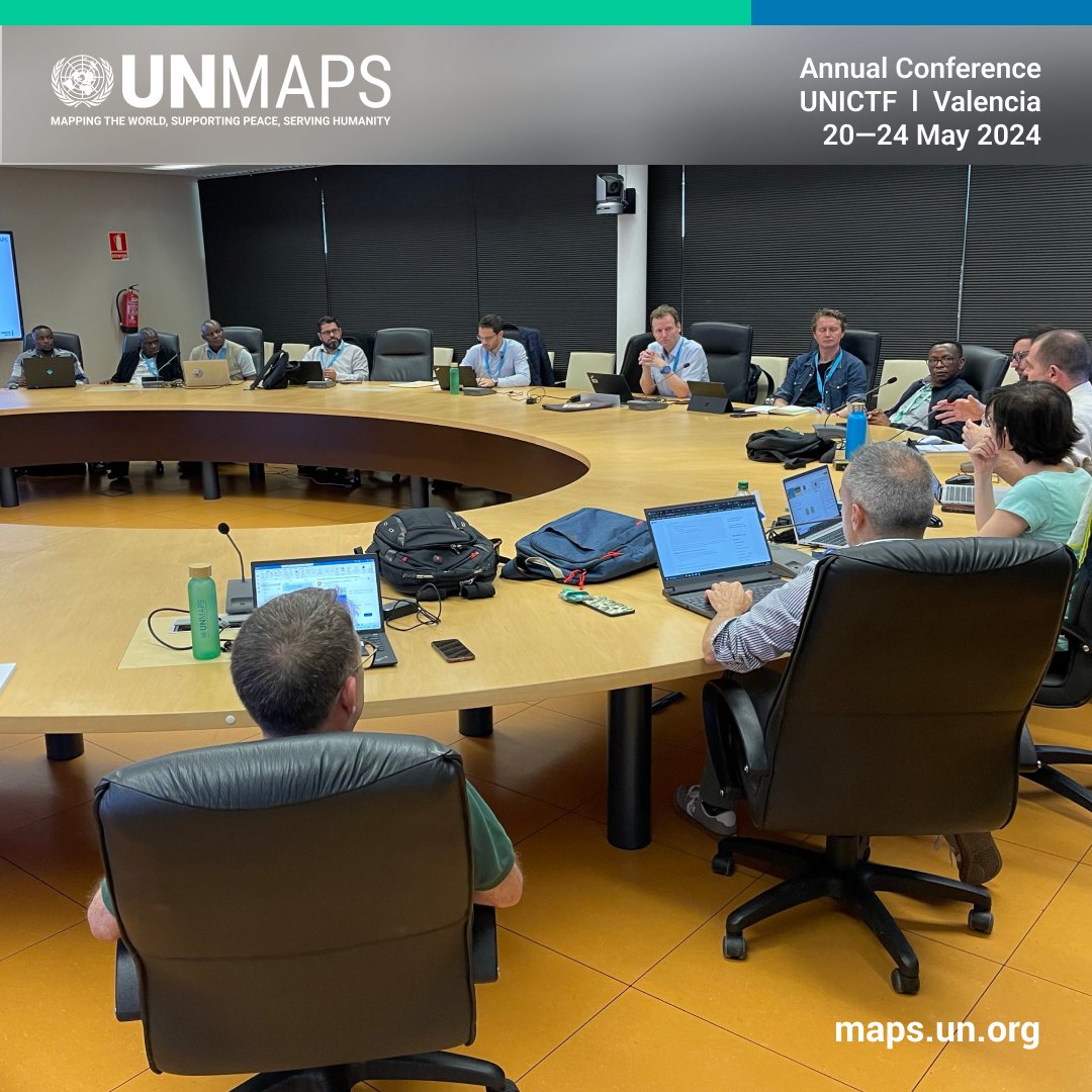
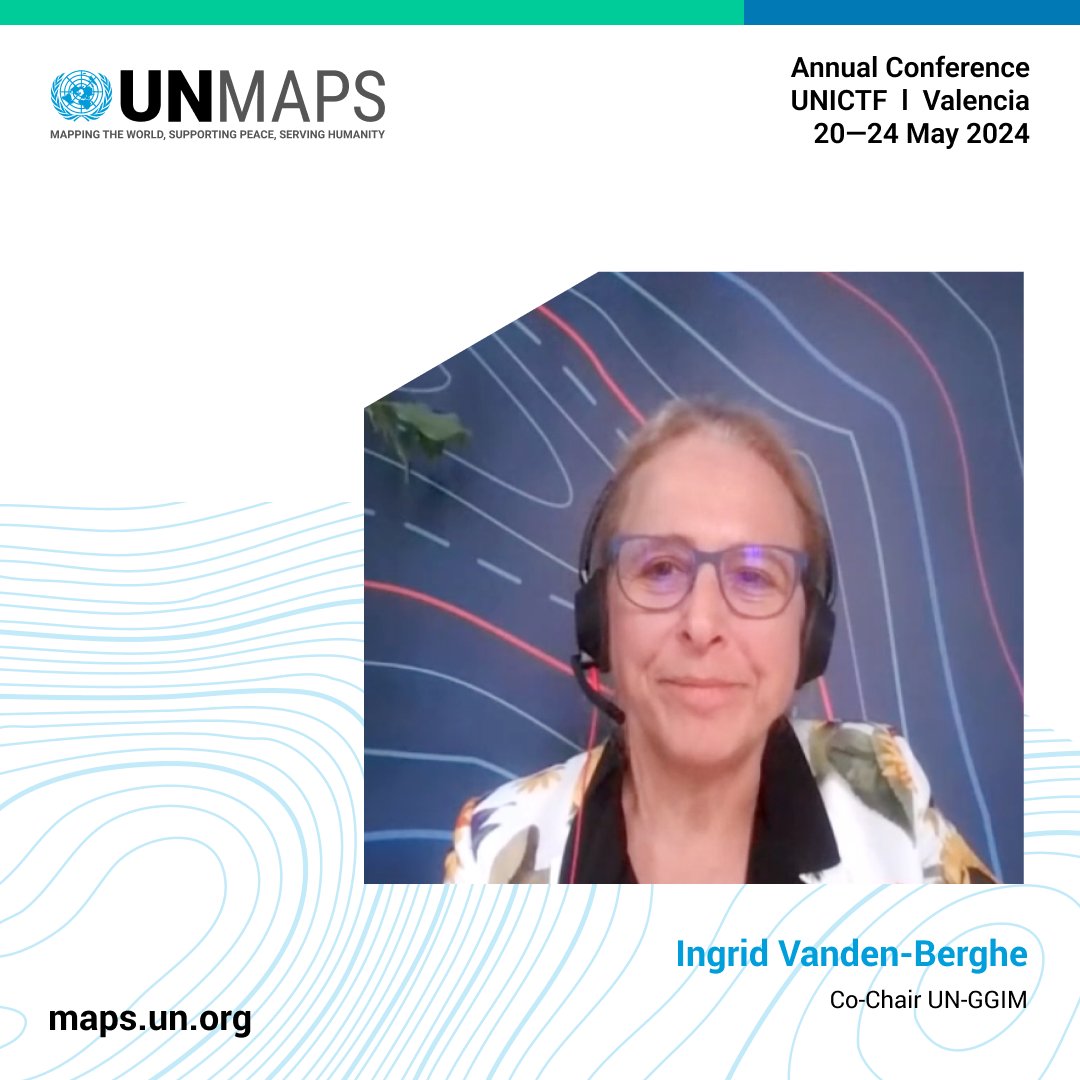
Mrs. Ingrid Vanden-Berghe discussed the structure of UN-GGIM and mission to strengthen national geospatial capacities, underlining the importance of the Integrated Geospatial Information Framework. Members states and UN can mutually benefit from UN-GGIM activity
#UNMapsConference
Moderated by Mr. Samuel Leal, panelists Mr. Michael Gould (UJI), Mr. Angel Martin (UPV), and Mr. Pascal Peduzzi (UNEP) discussed partnerships to enhance #UNMaps.

#UNMapsConference
After a message from Mr. Binyam Dele (YouthMappers), panelists Mrs. Sarah Hoffmann (OSMF), Mr. Sam Colchester (HOT), and Mr. Benjamin Herfort (HeiGIT), discussed crowdsourcing geospatial information and the key role of #OpenStreetMap

#UNMapsConference
Mr. Michael Montani presented the UN Mappers community and the extensive work carried out by volunteers over the years, highlighting efforts in communication and in ensuring access to the educational materials available in the #LearningHub for all.
#UNMapsConference
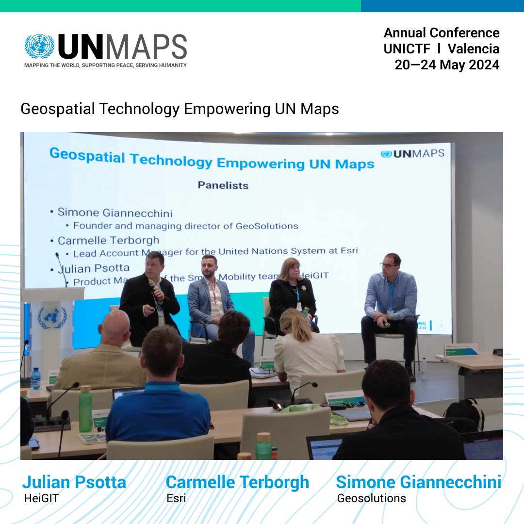
Moderated by Mr. Guillaume Criloux, panelists Mr. Julian Psotta from HeiGIT, Mr. Simone Giannecchini from GeoSolutions, and Mrs. Carmelle Terborgh from Esri discussed #geospatial technology empowering #UNMaps.
#UNMapsConference
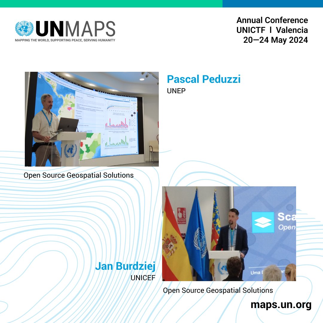
Mr. Pascal Peduzzi presented MapX, showcasing various geospatial datasets and platforms like Apache Superset for data integration and analysis.
Mr. Jan Burdziej highlighted the GeoRepo geoportal, and GeoSight for creating interactive maps.
#UNMapsConference
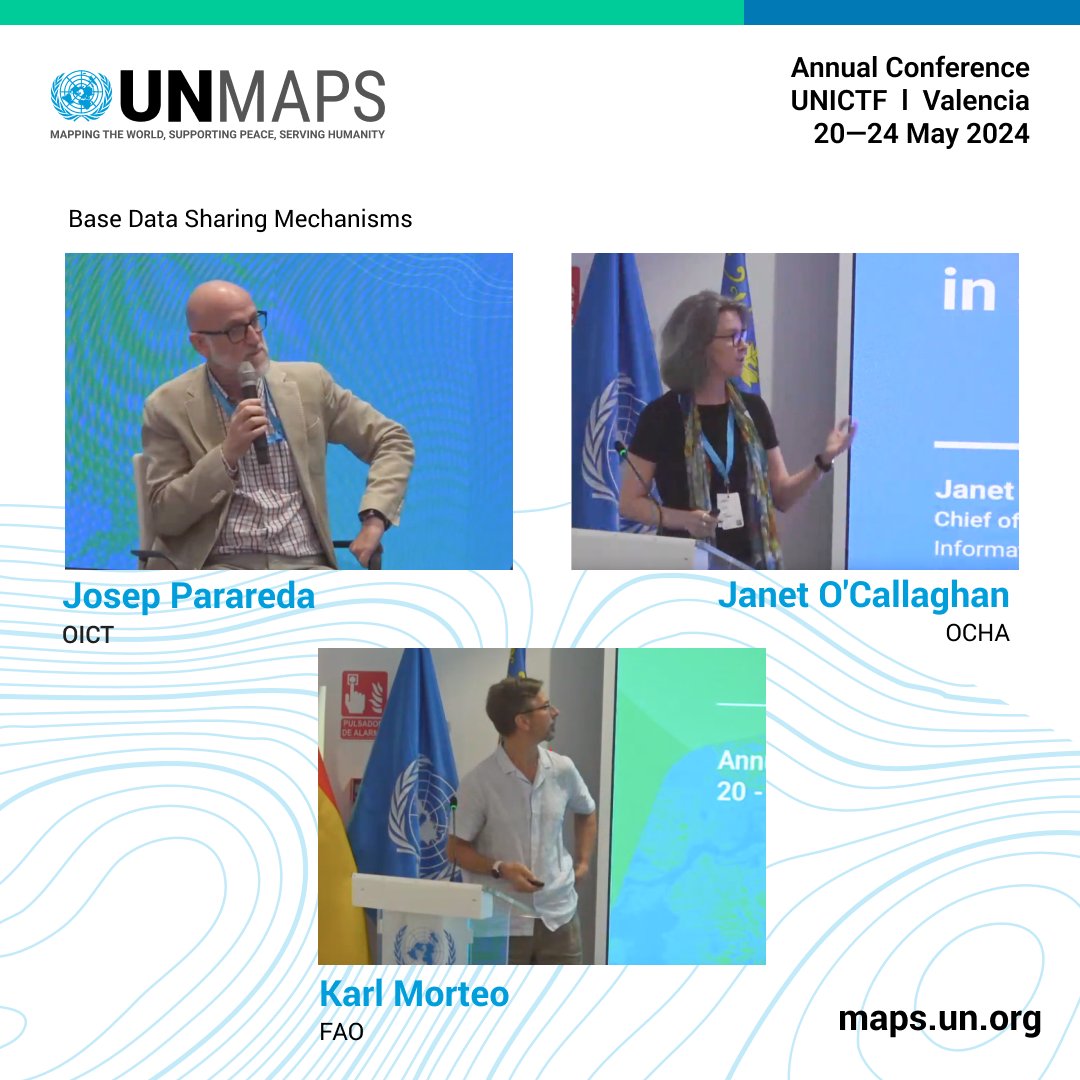
Moderated by Mrs. Ayako Kagawa, panelists Mrs. Janet O'Callaghan from OCHA, Mr. Josep Parareda from OICT, and Mr. Karl Morteo from FAO discussed base data sharing mechanisms.
#UNMapsConference
Mrs. Maria Brovelli presented the "GeoAI for Good" workshop to develop university courses on #geospatial AI.
Mr. Andrea Manara reported 7,000 registrations for the workshop, and competitions on environmental topics in partnership with Zindi Africa.

#UNMapsConference
Mr. Hwa Saup Lee presented ETA, a travel data visualization platform for UNSMS, enabling security alerts, movement tracking, and headcounts via geofencing.
Mr. Marco Minghini discussed the EU INSPIRE directive to enhance strategies and data sharing.

Last Seen Hashtags on Sotwe
Most Popular Users

Elon Musk 
@elonmusk
240.3M followers

Barack Obama
@barackobama
119.2M followers

Donald J. Trump
@realdonaldtrump
111.6M followers

Cristiano Ronaldo
@cristiano
109.6M followers

Narendra Modi
@narendramodi
106.9M followers

Rihanna
@rihanna
97.4M followers

NASA
@nasa
92.1M followers

Justin Bieber
@justinbieber
90.7M followers

KATY PERRY
@katyperry
87.1M followers

Taylor Swift
@taylorswift13
81M followers

Lady Gaga
@ladygaga
72.5M followers

Kim Kardashian
@kimkardashian
69.5M followers

Virat Kohli
@imvkohli
69.1M followers

YouTube
@youtube
68.6M followers

Bill Gates
@billgates
63.6M followers

The Ellen Show
@theellenshow
62.5M followers

CNN
@cnn
61.9M followers

Neymar Jr
@neymarjr
61.7M followers

X
@x
60.9M followers

Selena Gomez
@selenagomez
60.2M followers