

Top Tweets for #lcmap


This unique reference dataset offered by #LCMAP is updated to 2021 and spans an over 30-year record tied to single points on the ground! The purpose of this dataset is to validate the accuracy of #LandCover products and look at land cover change. https://t.co/k20D1VfJbg

Validation analysis compares the Reference Dataset labels with annual #LCMAP land cover map attributes using cross tabulation. Overall CONUS land cover agreement for Collection 1.3 is 82.5%.
Data: https://t.co/ejDTcmAwdb
Tables: https://t.co/8DucT2Rrjj
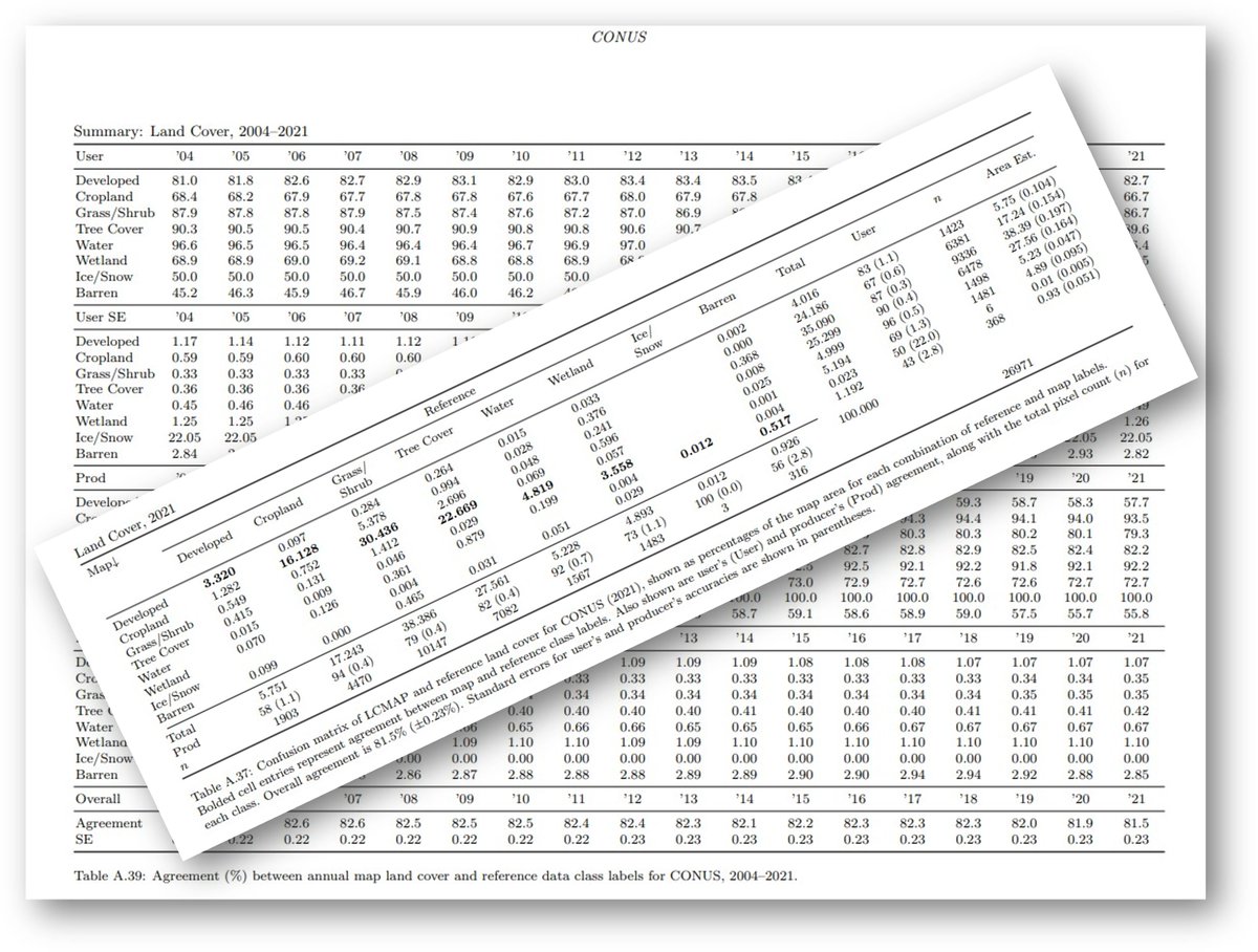
LCMAP Reference Data and Validation Tables 1.3 are out!
Go to ScienceBase to find an updated dataset of 27,000 pixels across the United States painstakingly analyzed for accuracy by expert image interpreters. #LCMAP #LandCover @USGS_EROS
https://t.co/dum5eDexMd

Validation assessments of #LCMAP annual land cover products use LCMAP reference datasets to directly compare reference data labels with annual LCMAP land cover map attributes and report their % agreement. Annual and regional accuracies are also reported. https://t.co/fCnD5DN87M


The Fifth National Climate Assessment is finally published. Glad to be one of the authors of Chapter 6. Land Cover and Land-use Change. Annual land cover and land-use and land change maps from USGS LCMAP are used as the core basis for this analysis #LCMAP
https://t.co/BGemf5zeZv


Reference data released by #LCMAP are a valuable tool to check land cover map accuracies. Interpreters review 27K plot locations to determine the correct land cover to label the plot in the reference database.
Data: https://t.co/9d7hPh9lW6 Background: https://t.co/srCZ6DiZnp

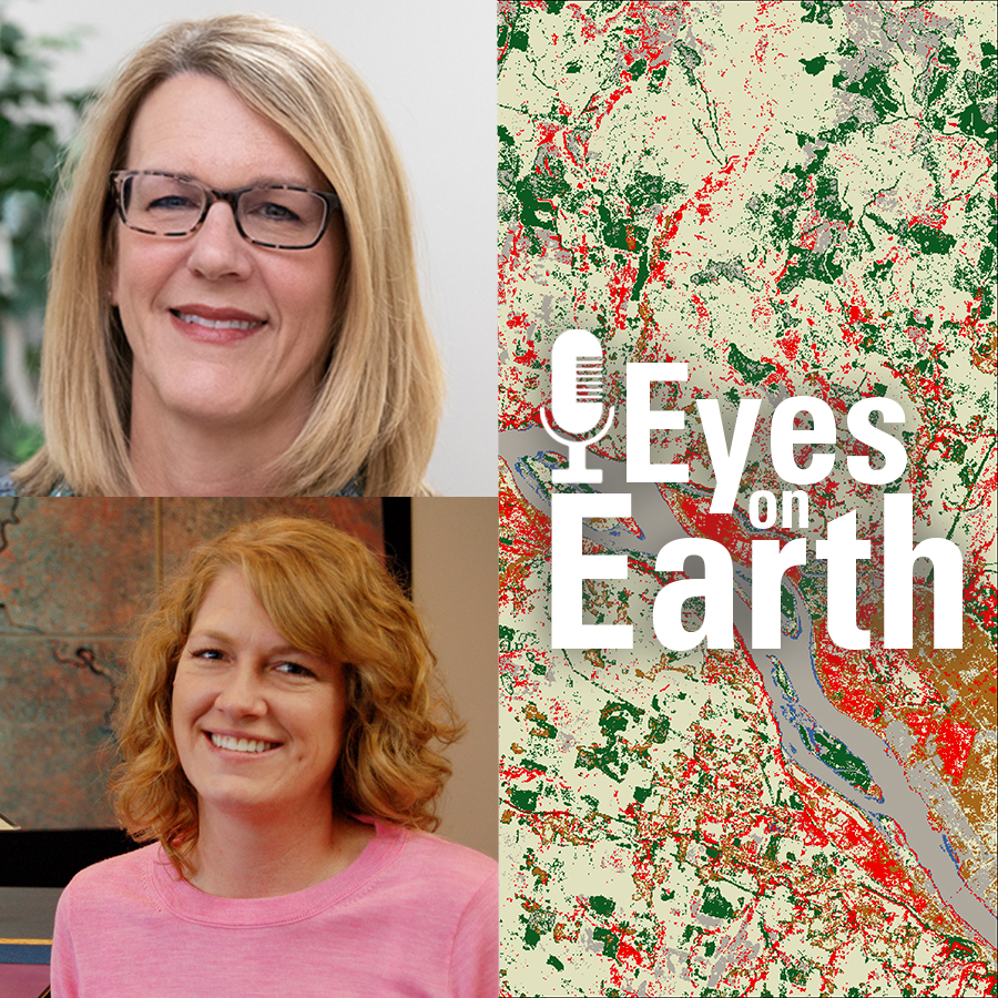
Land cover data users across the globe can look forward to USGS’s premier land cover teams #NLCD and #LCMAP joining forces to advance the science of land cover classification and change detection. It’s a USGS #LandCover revolution! https://t.co/0wnFW5j4Mq
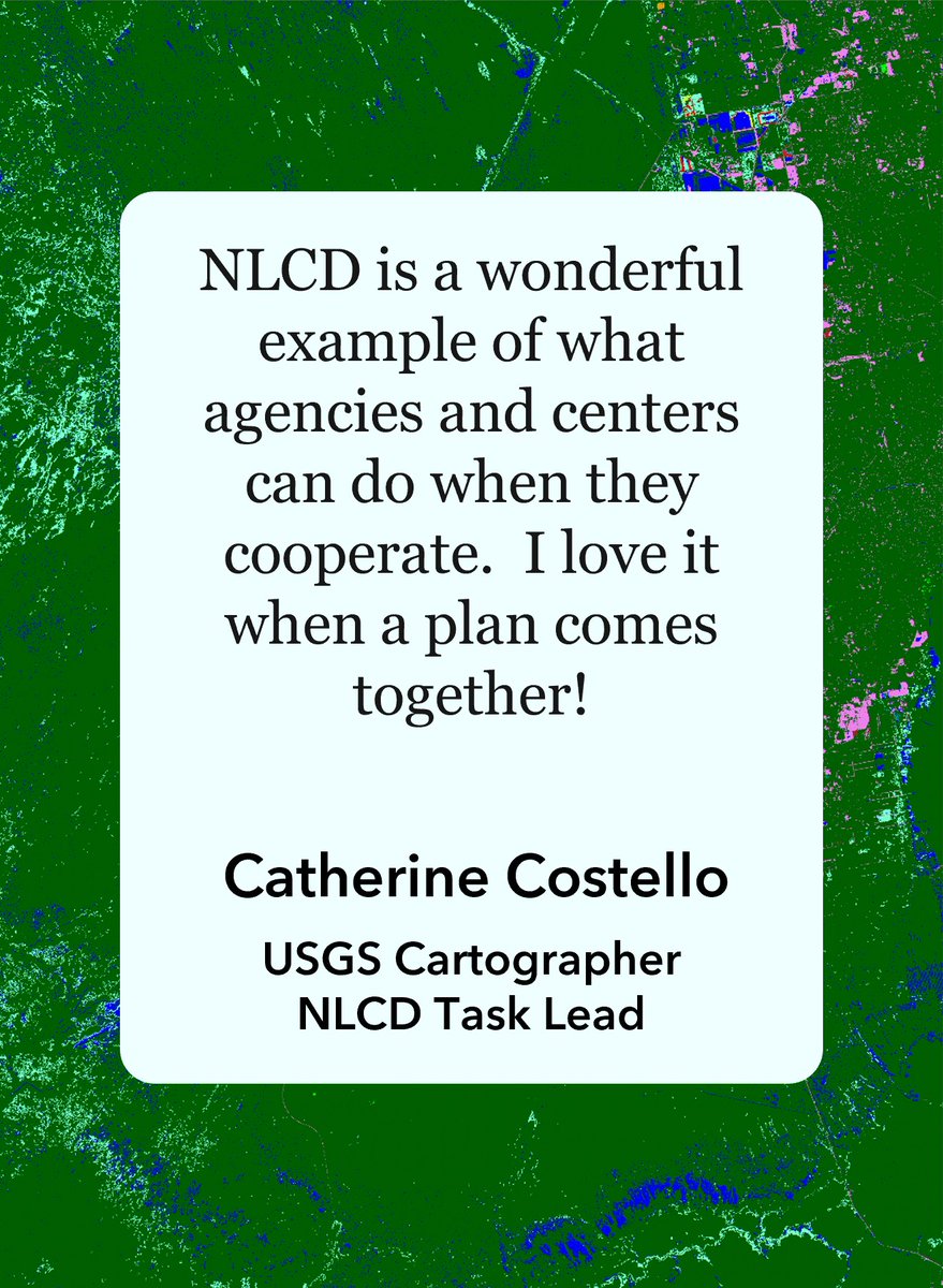
A new #LCMAP/#NLCD Jupyter Notebook! The product workflow compares NLCD and LCMAP with a morphological open technique applied to developed #LandCover. Learn how to access products, crosswalk land covers, calculate confusion matrices, and more! https://t.co/LJqBGoBozE


From the first available Landsat 9 data and Landsat 9 handover to the first set of land cover and land surface change products for Hawaii, USGS EROS celebrated plenty of accomplishments in 2022. Read about them at: https://t.co/tMXxGN9hge
#Landsat #LCMAP @USGS_EROS 🛰️🌎

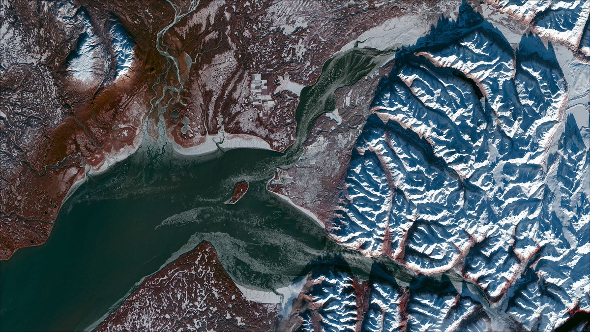

Congrats to the #LCMAP team and Dr. Tollerud for developing a modified approach to detect land cover change consistently in @USGSLandsat time series data. @LadiesOfLandsat https://t.co/gzc1zg7FsE
The irregular remote sensing time series can produce maps that are not consistent in time and space. The modified Continuous Change Detection approach called Band-First Probability or CCD-BFP provides a nice solution. Nice work by Dr. Tollerud.
Please RT!
https://t.co/733dyQdqTr
Reflecting on #Pecora22 and remembering that I didn’t post this sooner. @Colekrehbiel giving a full run down of #LCMAP tools and tutorials to Dr. Henebry in his poster! Great job spreading the message!!


Spend your evening with us at the #Pecora22 Poster Session, 5:00pm MDT!
Michelle Bouchard will be presenting @USGSLandsat Science Products. Cole Krehbiel is sharing #LCMAP remote sensing e-learning resources.

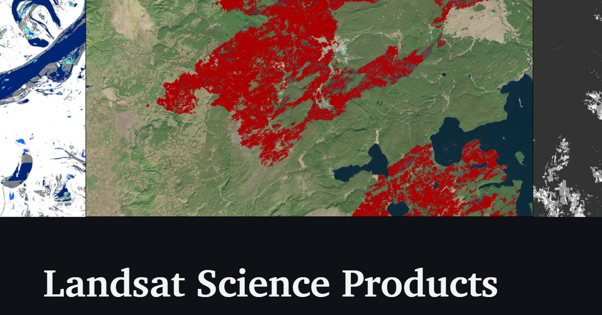
Visit our Pecora booth at 10 a.m., 12 p.m., or 3 p.m. to learn more about LCMAP Resources. USGS Staff member Cole Krehbiel will be presenting the information during the Pecora Poster session at 5 p.m. today.
All times for this tweet are in MDT.
Ever wondered how to download Land Change Monitoring, Assessment and Projection (LCMAP) science products from a user-defined area of interest? LCMAP now has a step-by-step how-to guide for all 10 science products using the LCMAP Web Viewer: https://t.co/74kHxYF9iJ
👇👇👇 Check out a new publication from my colleague Congcong Li on 20 years of land cover change in the Hawaiian Islands #LCMAP @LadiesOfLandsat
New publication featuring EROS authors – “Development of the LCMAP annual land cover product across Hawaiʻi.” They tackled some unique island challenges to find land cover changes between 2000 and 2019. Read it here: https://t.co/WPZ4m6smSW #ShowYourWorkWednesday

Read about the Landsat 9 satellite transition from NASA to USGS, the expansion of Landsat science products and more in the September edition of the Latest in Landsat Newsletter: https://t.co/3ObIkcpelF
#Landsat #LCMAP #Wildfires #Water
🛰️🌎💧🔥🗺️
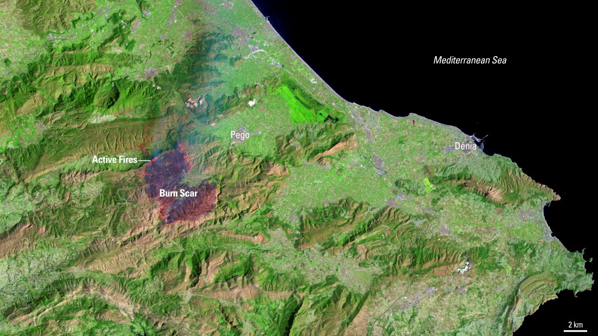
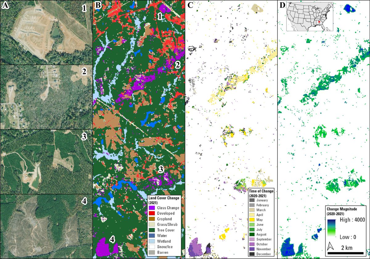
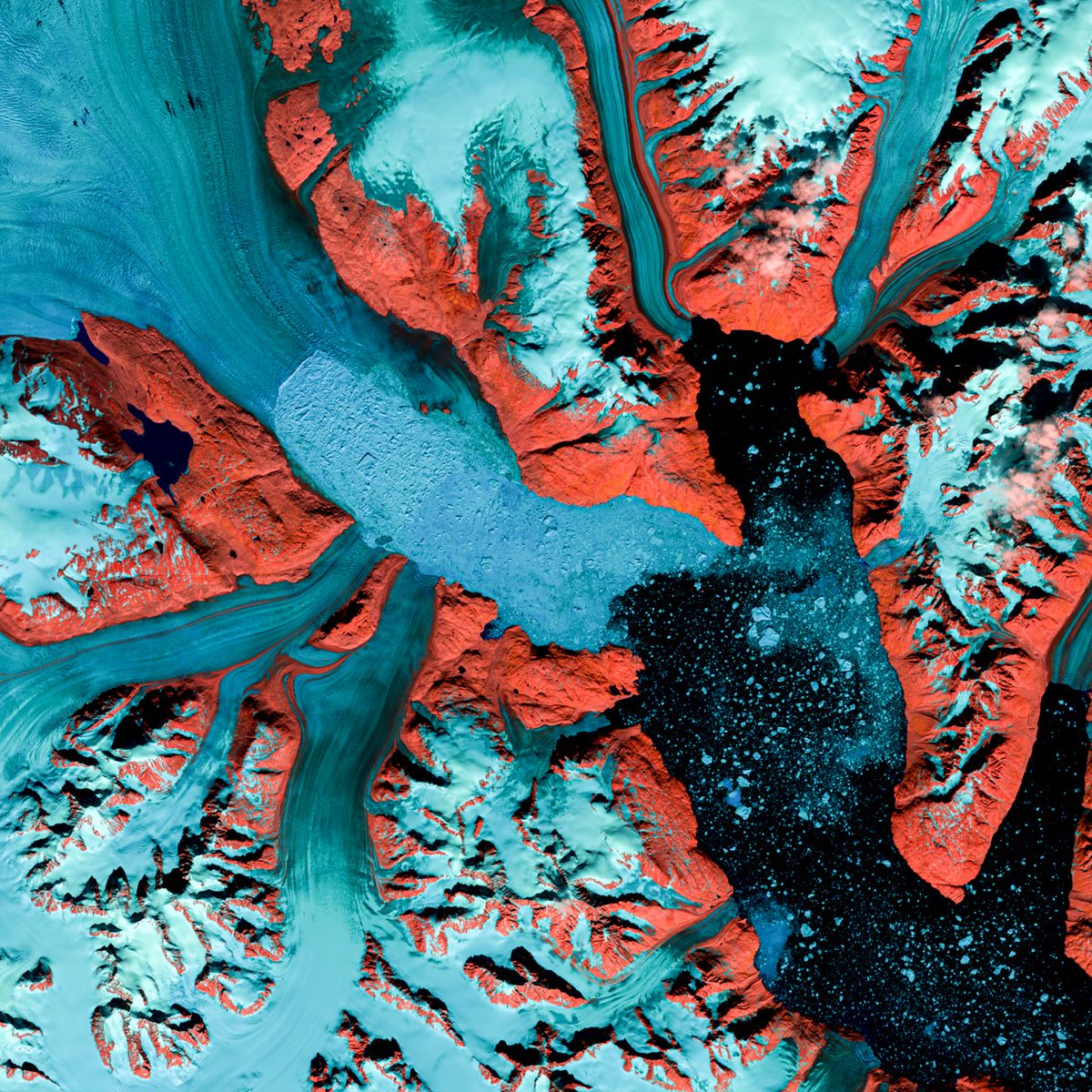

If you are looking for a deep history of #landscape change for the US.... as in 1985-2021....from #Landsat, you don't have long to wait. #LCMAP Collection 1.3 should be announced in July. 🌎
The @USGS Land Change Monitoring, Assessment and Projection (LCMAP) team recently sent out its spring/summer newsletter to subscribers.
Did you get one? If not, subscribe here: https://t.co/iyjNClGgdP
Learn more about LCMAP here: https://t.co/HbWdPf74IG

Last Seen Hashtags on Sotwe
Most Popular Users

Elon Musk 
@elonmusk
240.7M followers

Barack Obama
@barackobama
119.2M followers

Donald J. Trump
@realdonaldtrump
111.7M followers

Cristiano Ronaldo
@cristiano
110.9M followers

Narendra Modi
@narendramodi
107M followers

Rihanna
@rihanna
97.7M followers

NASA
@nasa
92.2M followers

Justin Bieber
@justinbieber
91M followers

KATY PERRY
@katyperry
87.8M followers

Taylor Swift
@taylorswift13
81.7M followers

Lady Gaga
@ladygaga
73.2M followers

Virat Kohli
@imvkohli
70.2M followers

Kim Kardashian
@kimkardashian
69.9M followers

YouTube
@youtube
68.7M followers

Bill Gates
@billgates
64M followers

Neymar Jr
@neymarjr
63M followers

The Ellen Show
@theellenshow
62.4M followers

CNN
@cnn
61.9M followers

Selena Gomez
@selenagomez
60.9M followers

X
@x
60.8M followers