Excited to announce the launch of the OGC Geo for #Metaverse Domain Working Group, which will help the Location communities collaborate and contribute expertise into building and growing the #OpenMetaverse https://t.co/jG9W9bgPb1
A review of Earth Artificial Intelligence https://t.co/gpjo0WJHyu
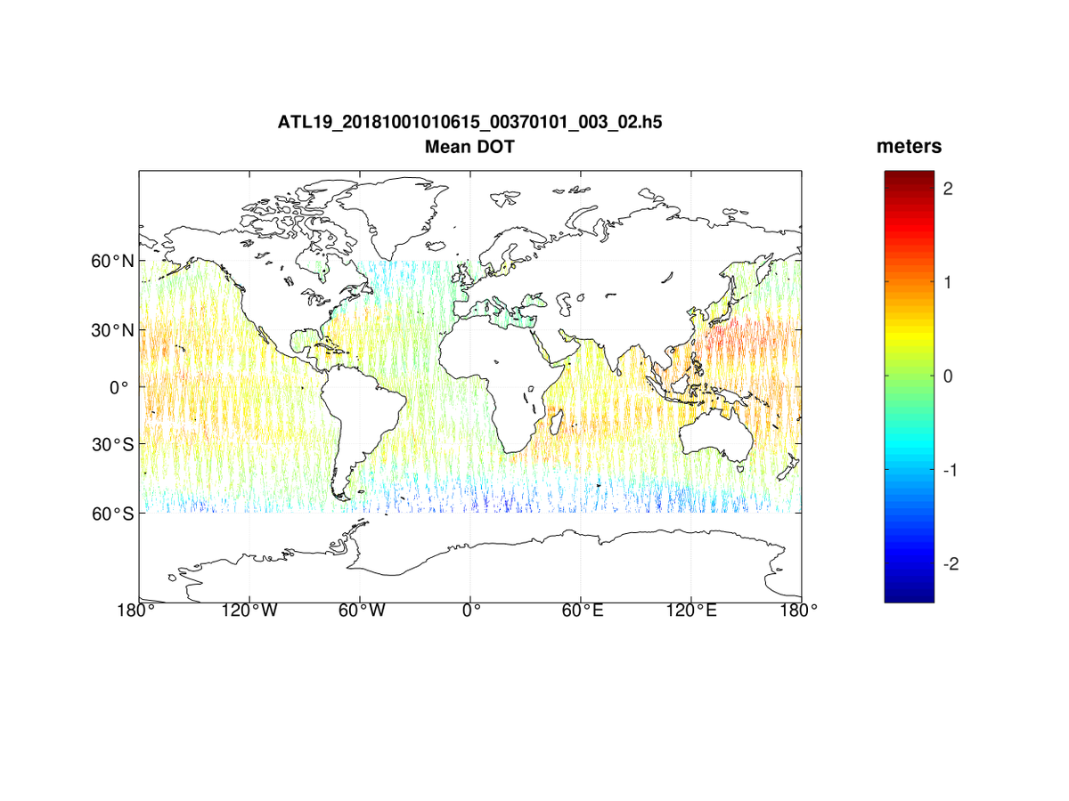
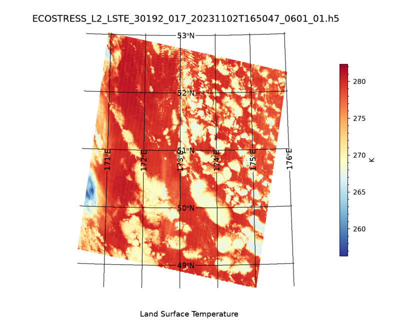
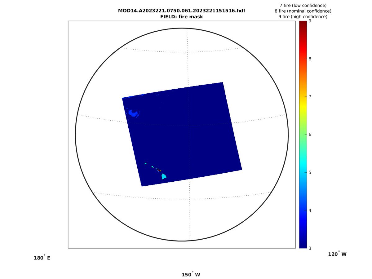
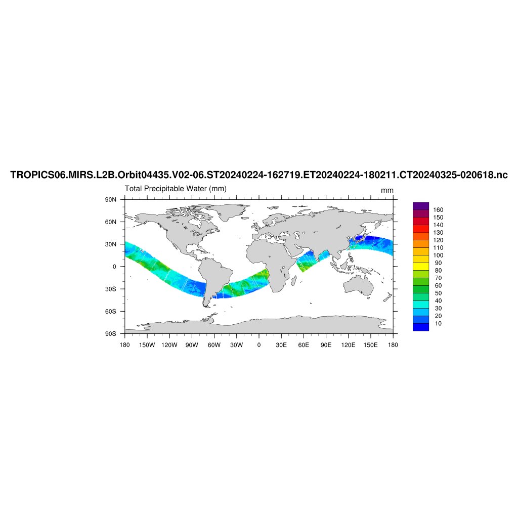
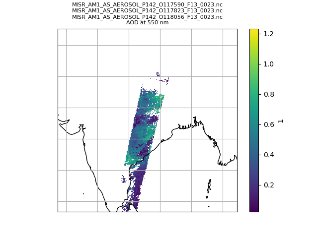
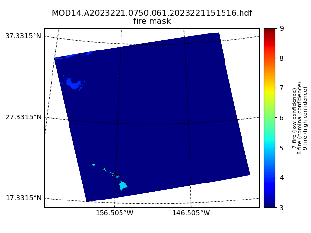
"For example, HDF is the official format in NASA, NetCDF is commonly used in NOAA and climate communities, and GeoTiff is popular for georeferenced imagery."
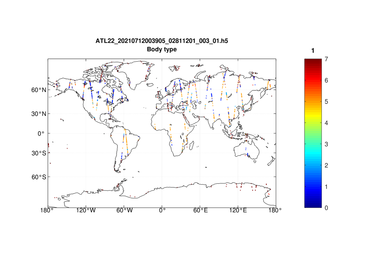
@MathWorks released 2021b! Here's what's new for @hdf5: Support for HDF5 version 1.10, including Single-Writer/Multiple-Reader (SWMR), Virtual Dataset (VDS), and Metadata Cache Fine-Tuning