Two rounds of severe storms are possible today. Scattered storms (Round 1) are currently developing south of US-30. An Enhanced Risk for severe weather is still in place for much of our area through tonight. Round 2 comes later this evening into tonight, north of US-30.
Stay up to date with the forecast on our social media or by checking our webpage, https://t.co/QFs72Srp7l. Monitor the forecast and have multiple ways to receive warnings!
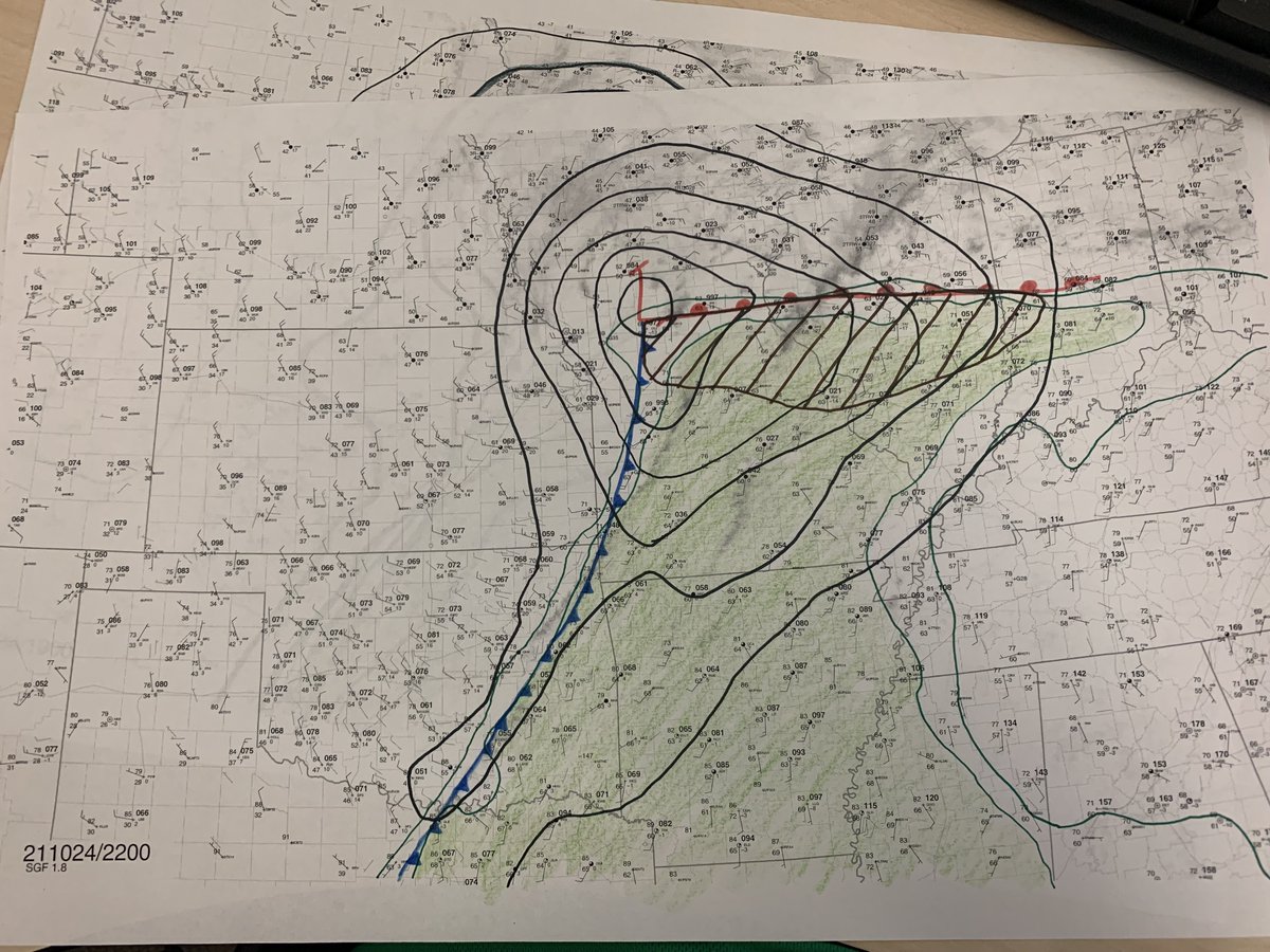
Here is an updated surface chart from 22Z. The brown hatched region is where surface winds are backed south of the warm front. Therefore, any storms in this region will likely have a higher tornado threat than elsewhere. #MOwx#ILwx
We've updated our summary of the severe storms from Wed. Night/Thur AM to include the results from the surveys today and also with maps of tornado tracks. Additional surveys will be conducted on Friday so expect updates to the page. #wiwx
https://t.co/Ahjgk4bFmx
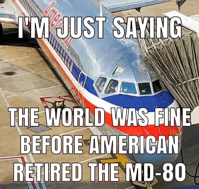
Told the CA of my commute there is another pilot trying to get on. There are seats open. We left the pilot trying to get on. Non commuting pilots: there will be a day you need a ride somewhere, a favor, some help…pay it forward.
@DrewMarianiShow &
@DrewMariani
Asking for prayers in the Chaplet today for a job I just finished an in person interview for with my wife & child It’s doing what I love, and is back home with extended family, which we all need more now than ever.
Thank you.