Set up since 1999, Hi-Target is 1st professional high-precision surveying&mapping instrument manufacturer and solution provider to be successfully listed in CN.
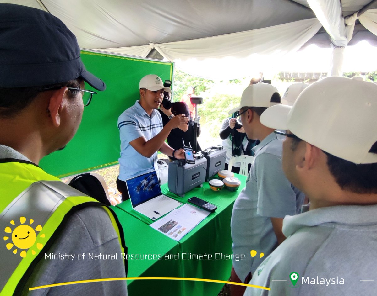
Modern #GNSS technologies are effective in hazard monitoring and climate change detection and modelling. Given that, we are pleased to introduce the applications of Hi-Target GNSS solutions to the Ministry of Natural Resources and Climate Change of Malaysia.
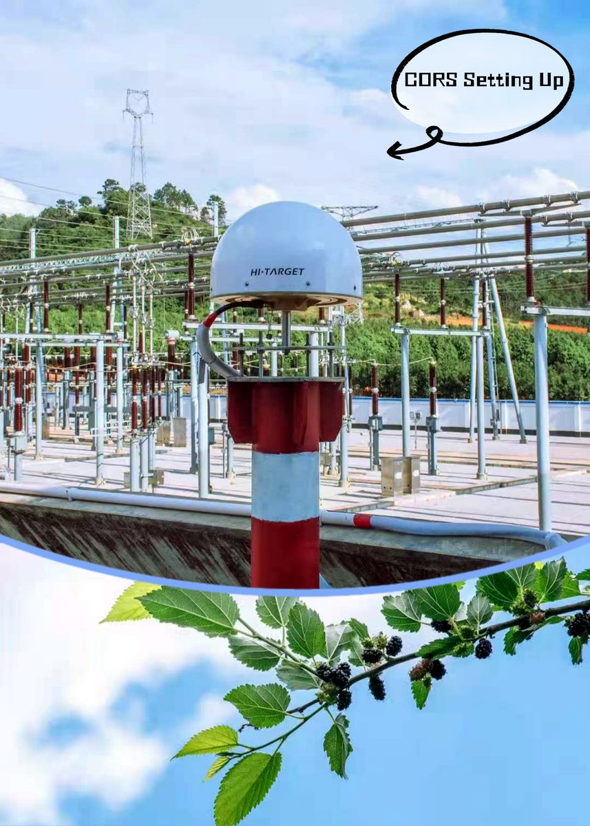
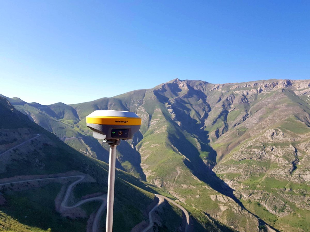
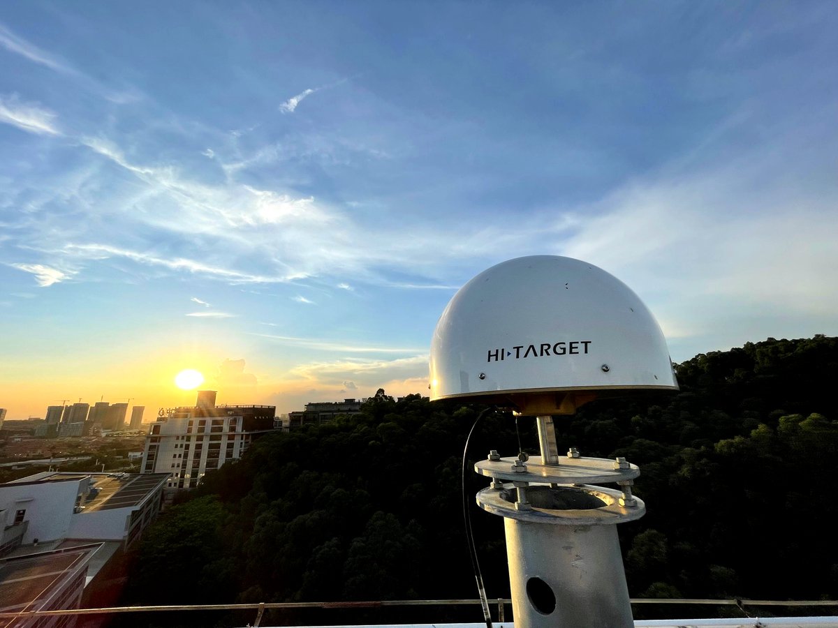
Setting up CORS station in plateau-mountain terrain of low latitude. Continually recording GPS signals, and then providing the data to GPS users over the Internet.
Hi-Target CORS system: https://t.co/IEF0JZVHT8
#hitarget#cors#gps#GNSS
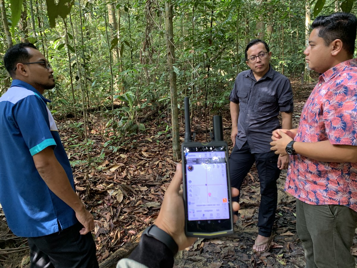
Working with Forest Research Institute Malaysia (FRIM) in testing Qmini A10 GIS handheld under a heavy canopy. The accuracy is below 1.5m with single solution, and 0.5m if connected using the #Malaysia#CORS. https://t.co/0f68Jd3v8o
#hitarget#GIS#GPS#mapping#forest
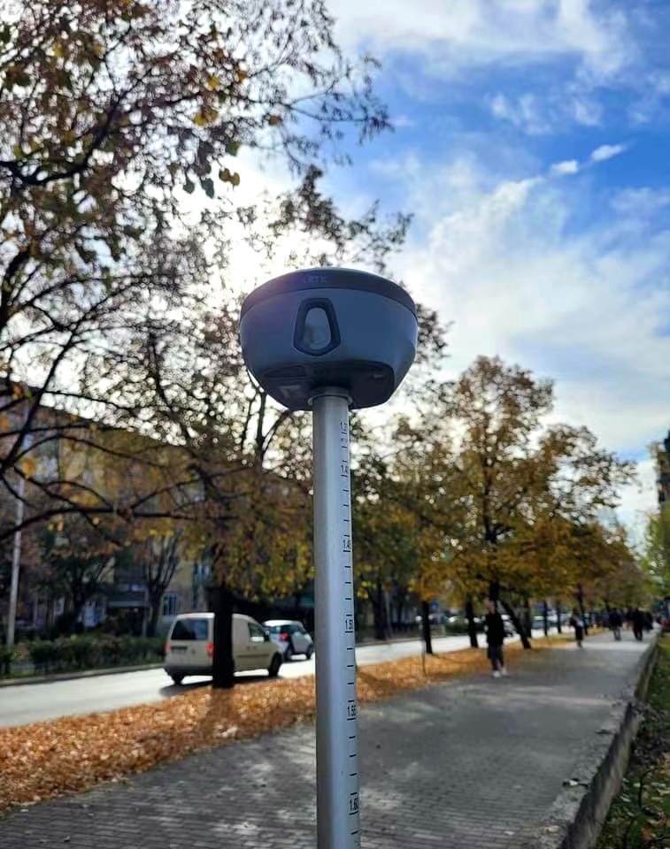
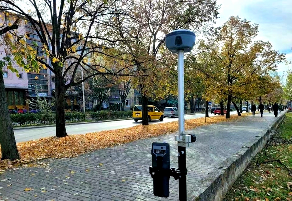
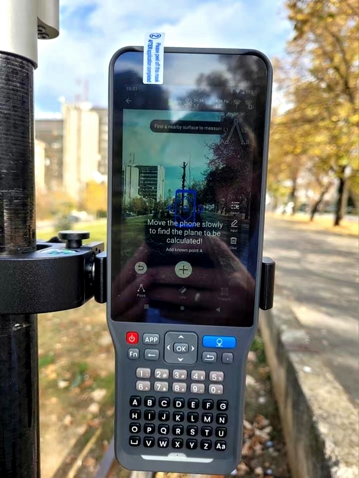
Haven't got a chance to meet all the components of vRTK, the first dual-cameras RTK with brand new image positioning technology? This video will show you the features and the installation of vRTK.
Learn more: https://t.co/3yrDURqSO2
#HiTarget#vrtk#ihand55#visual#positioning
What role of your work plays in daily life❓❓
You may think seldom people have a basic knowledge of our industry, you may be asking what is your work from time to time and reply in Vagueness. Actually, your work is far more important than your imagination.
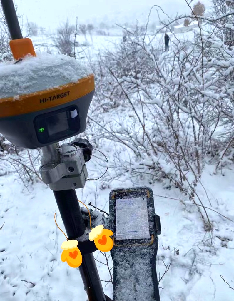
Excellent performance for #measuring and #stakeout in extreme weather - Hi-Target vRTK tested the rain by our Vietnam team.
https://t.co/pJnvkPIoBa 来自 @YouTube
What role of your work plays in daily life❓❓
You may think seldom people have a basic knowledge of our industry, you may be asking what is your work from time to time and reply in Vagueness. Actually, your work is far more important than your imagination.
We are vRTK!
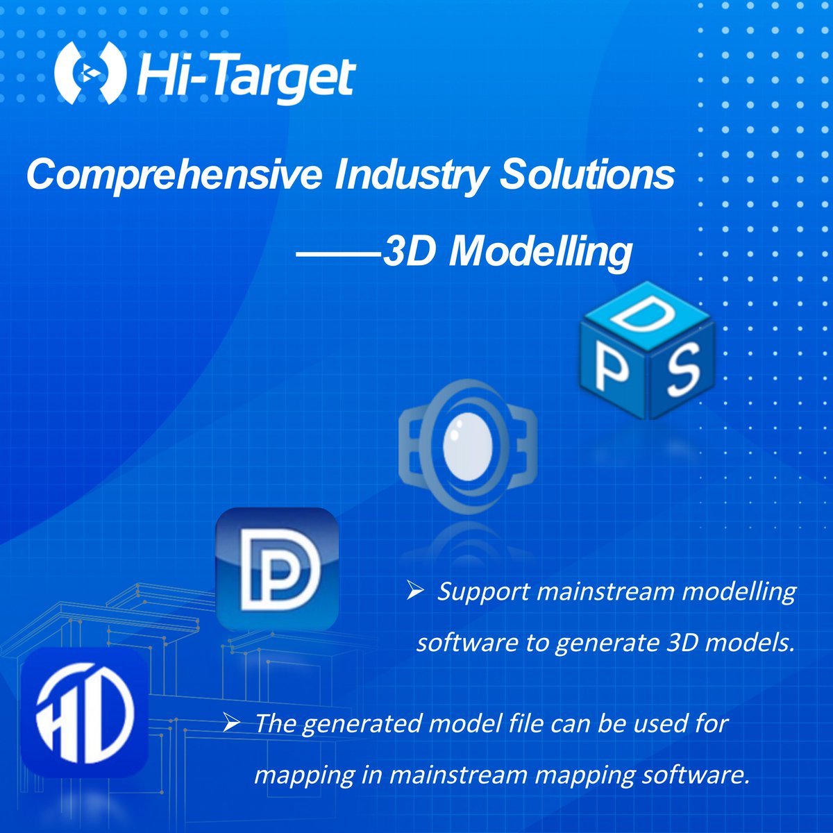
𝑪𝒐𝒎𝒑𝒓𝒆𝒉𝒆𝒏𝒔𝒊𝒗𝒆 𝑰𝒏𝒅𝒖𝒔𝒕𝒓𝒚 𝑺𝒐𝒍𝒖𝒕𝒊𝒐𝒏𝒔 - 3𝑫 𝑴𝒐𝒅𝒆𝒍𝒍𝒊𝒏𝒈
-Abundant types of data results meet the needs of different industry applications.
-Compatible with the mainstream modelling software to attain point cloud and 3D modelling.