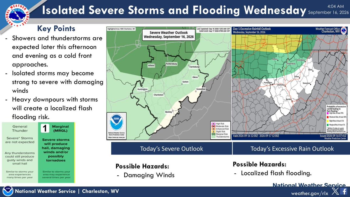
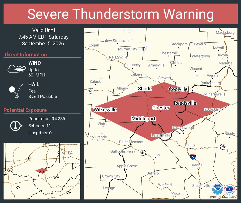
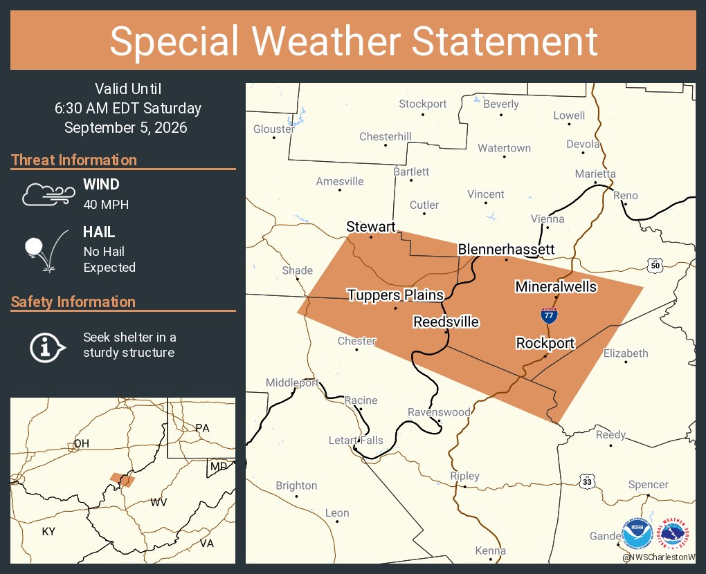
Storms return to the area later this afternoon and evening. Some of the storms may be severe with damaging winds. Heavy downpours will create localized flash flooding.
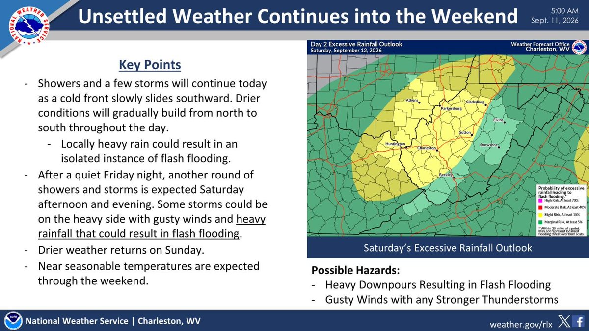
Showers and a few storms continue today as a cold front slides southward, with an isolated instance of flash flooding remaining possible. After a quiet Friday night, another round of showers/storms is expected Saturday afternoon & evening, bringing additional flooding concerns.
Showers and thunderstorms return to the area beginning this evening ahead of a cold front. While some storms could produce damaging wind gusts late tonight, the main hazard with this approaching front will be the risk for localized flash flooding.
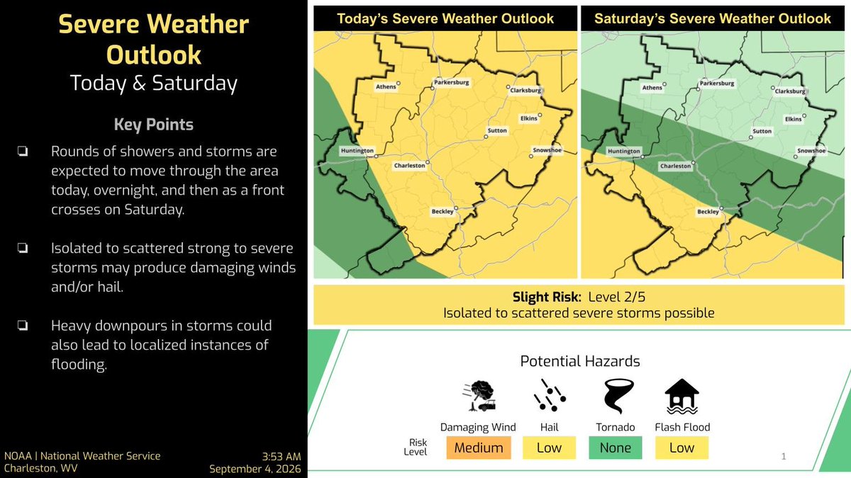
Rounds of showers/storms are expected through Saturday. Some strong to severe storms may produce damaging winds and hail. Heavy downpours are also possible.
A Heat Advisory remains in effect for the lowlands until this evening, then the heat risk lessens over the weekend.