💡 De post van Vlaamse Milieumaatschappij is een heldere analyse van wat de gevolgen kunnen zijn van forse algengroei op vispopulaties.
🛰 Wist je ook dat algengroei gedetecteerd en gemonitord kan worden aan de hand van satellietdata? Door op regelmatig…https://t.co/JP1FhT3ffj
"Hoe kunnen we data slimmer maken en er tegelijk voor zorgen dat iedereen ermee aan de slag kan?"
👉🏽 Al zeker door er een locatie aan te koppelen en zo de data letterlijk dicht bij de gebruikers te brengen. https://t.co/hV27iYM9z8
🎉 EXPLORE-VN is now an Operational Earth Observation platform to monitor water quality.
🏋️♂️Operational deserves a capital, because it carries the biggest part of the work. It covers reliable, functional, user-friendly and accessible.
EXPLORE-VN can…https://t.co/Jsq4OJ2uj5
😟 Finding, harmonizing and linking EU administrative boundaries on different administrative levels, is quite cumbersome (and often feels like a waste of time!)
😊 Well, it was quite cumbersome until now
🔓 We think that making data open is often not e…https://t.co/W6b8P9rLAY
Wist je dat Linked Open Data al geruime tijd actief gebruikt wordt voor de opvolging en beschrijving van fietsparkings in heel België?
Meer hierover in de post onder en op https://t.co/xqKVzCzik8
#linkedopendata#fietsnaarjewerk https://t.co/O8CoUkay6M
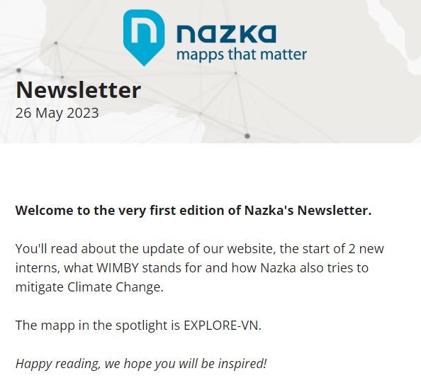
Newsletters are back, so we couldn't stay behind.
⚡️Our very first newsletter is out there!⚡️
Check https://t.co/KCCjkdrMcf
Make sure to subscribe to receive regular updates of what Nazka's doing.
👉 Shortcut to subscription: https://t.co/hmu5ehVx1K
We're happy to take up our role as mapping expert and application developer for the EU BUILDSPACE project.
BUILDSPACE is about making buildings and cities more sustainable and resilient to climate change. The project focuses on combining terrestrial dat…https://t.co/JRYw2CJCjS
Check out this plugin for @Mapbox and @maplibre from @nazka-mapps. It creates the spiderfication in the canvas itself instead of on top of it
Open-source and available for to anyone who needs it.
Github: https://t.co/JCmFzmMuwR
#Geospatial#InteractiveMaps#mapbox#mapLibre
Deze lente trokken we met alle Nazkianen naar de regio Brugge voor een dag vol met teambuilding activiteiten.
Lees meer hier https://t.co/r4kc1T2HJc
@De_Halve_Maan
https://t.co/cxsjBmq74h
Sitting on geodata,
thinking of interactive maps,
not sure where to start?
Contact us, we can help you.
#interactivemaps#geospatial#geodata https://t.co/vZ0BQPtR1E
How we at Nazka store around 10 tonnes of CO2 a year with the help of Go Forest
You can read all about it here: https://t.co/S201dZqxVj
https://t.co/dlip3x4CEQ
One of our goals in 2023 is to make nazka mapps' Mapframe more tangible for the outside world. The development of a demo fits perfectly in these plans. The demo shows you how interactive maps are built, expand your knowledge on the different mapping softw…https://t.co/kBERK4iizB
You must love Remote Sensing. It's seeing without interfering. From global to hyper-local.
Check out an extensive read that touches many topics here: https://t.co/2rHfV7vj2r
#earthobservation#MappsThatMatter#InteractiveMaps
https://t.co/ljranAmJqf