Snow currently moving through the area may come down briefly heavy at times, reducing visibility to 1/4 mile or less. 1 to 2 inches are expected, with locally up to 3 inches possible. The moderate to heavy snow has pushed east of NE NJ, the Lower Hudson Valley, NE NJ, and NYC
For those wondering how I did with #NYC’s #blizzard forecast — VERIFIED. ✅
Nailing down the heavy snow bands is incredibly difficult but called it. It felt great (but tiring!) dusting off this part of my weather brain.
https://t.co/vQaeJUTCwB
(8:20AM) ❄️🚨 #NYC — this heavy #snow band is for you!
If you thought the worst is behind us, *NOW* is the worst with 1-3” per hour snowfall rates and 50+ mph gusts.
This is on top of 15-18” of snow so far, according to NWS reports as of 7AM.
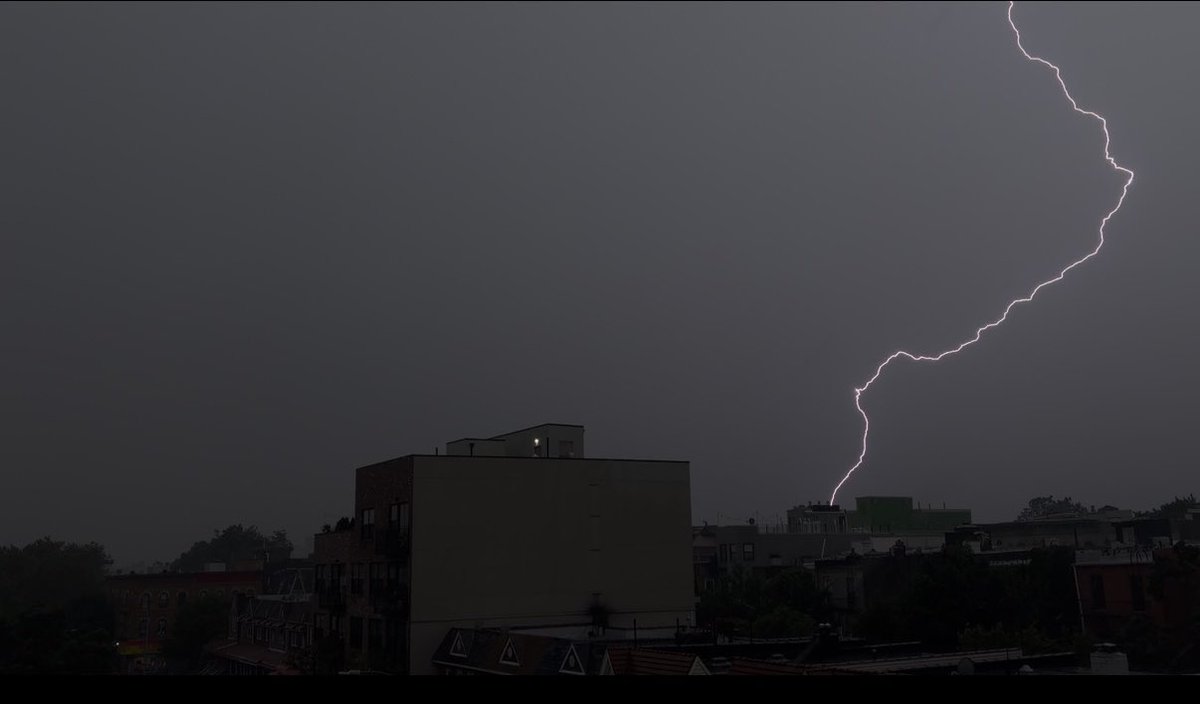
See this video! Original and taken of rare weather phenomenon ‘Thundersnow ’ striking the One World Trade Center during the blizzard! #NYC#BlizzardWarning