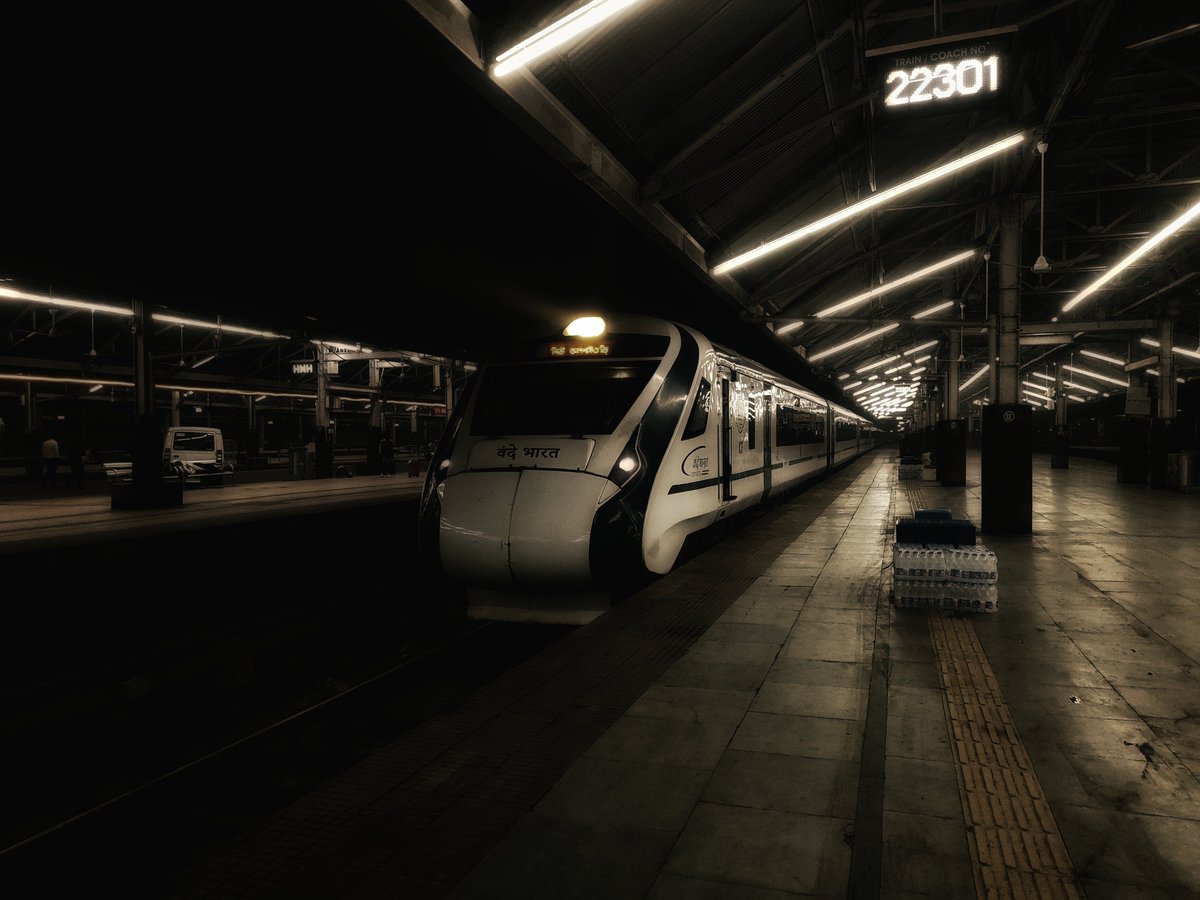
And it's a wrap! Thanks to the 7 participants, including an attendee from Nepal, for attending the 6th OpenStreetMap #WestBengal Mapping Party in #Siliguri, despite the harsh rain in between.
We hope you will join us again to help make #OpenStreetMap better. Each mapper counts.
@Kyangs_Thang > It's the lack of GoI datasets for such regions.
Couldn't agree more. I think the current restrictions imposed by the GoI on mapping features limits how we can represent our boundaries, which in turn gives our neighbours the upper hand.
@Kyangs_Thang Since this is a de facto and de jure boundary, I'll consult with the DWG and see what we can do. I want to ensure that any edits to crucial things like roads, buildings, waterways etc. are preserved, but things like disputed areas, military areas etc. are removed.
@Kyangs_Thang@ShardaAshima Even Tarang Sanchar uses OSM as the basemap, with the SOI boundary on top. But still, these are decisions made by people working in the Government who are smart enough and knows about this, not the ones who are in the seats of power.
@ShardaAshima@Kyangs_Thang P.S: Mind you, the data for the legal boundaries for India is there in OpenStreetMap, just that no one making the map renderers (mostly outside of conflict regions) cba about it and they just stick to the UN boundaries, which recognises AP but doesn't for parts of J&K.
@ShardaAshima@Kyangs_Thang Problem is, some OSM contributors from India like me want to set up a nonprofit to receive funding and have volunteer mappers as part-timers to prevent such edit wars, but then if the government or the aggressive nationalists sees J&K on the project's website, we're doomed. 1/2
The best part is, you can join in on the efforts as well! You don't need to be tech-savvy, or dedicate 2-3 hours everyday like me, and can just use your smartphone to get started. Just visit https://t.co/H29d8WV9RF and you should be good to go.
Until next time! :) (8/8)
Here's my #OpenStreetMap story which I shared on the #fediverese, which I'm also sharing here!
In the past month, I had one simple goal: To test my mapping limits, and contribute every single day if possible. (1/8)
Likewise, for every contribution I make, I help improve last-mile delivery everywhere, from crowded apartments in cities to desolate corners of villages, and help us rely less on Big Tech's profit motive for representing our localities, giving back the power to the people. (7/8)