Nerdy-ish Sounding Analysis from the 00z Balloon🍿
The data is in from the evening balloon from NWS Nashville, and it reveals several things.
1) Instability values (aka CAPE or storm fuel) are slightly higher than previously expected by models. Although these numbers will change as we head into the night, these are sufficient amounts to support our severe weather potential.
2) There is also plenty of wind shear aloft - especially in the lower levels - to support our severe weather threat.
3) What is currently limiting our severe potential is the temperature inversion or "cap" at around 700mb or ~10,000ft up. This warmer air aloft will act as a lid to prevent storms from really getting going - the reason why we aren't seeing any storms right now. We'll be watching to see if this inversion or "cap" holds thru the night, or if it is able to be eroded. If it holds our severe potential would be limited but not eliminated. We may end up releasing another balloon in a few hours to see what it's up to.
All that being said, the forecast remains on track. Have a way to wake up if a warning is issued for you. The coffee is being brewed, and we'll be watching things all night. ETA of 11p-2a still holds. Stay connected!
Nerdy-ish Sounding Analysis from the 00z Balloon🍿
The data is in from the evening balloon from NWS Nashville, and it reveals several things.
1) Instability values (aka CAPE or storm fuel) are slightly higher than previously expected by models. Although these numbers will change as we head into the night, these are sufficient amounts to support our severe weather potential.
2) There is also plenty of wind shear aloft - especially in the lower levels - to support our severe weather threat.
3) What is currently limiting our severe potential is the temperature inversion or "cap" at around 700mb or ~10,000ft up. This warmer air aloft will act as a lid to prevent storms from really getting going - the reason why we aren't seeing any storms right now. We'll be watching to see if this inversion or "cap" holds thru the night, or if it is able to be eroded. If it holds our severe potential would be limited but not eliminated. We may end up releasing another balloon in a few hours to see what it's up to.
All that being said, the forecast remains on track. Have a way to wake up if a warning is issued for you. The coffee is being brewed, and we'll be watching things all night. ETA of 11p-2a still holds. Stay connected!
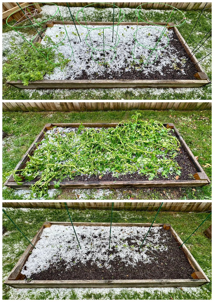
@NashSevereWx#tspotter The Franklin (Fieldstone Farms) hail cell decimated our poor raised garden beds… 😭 Will assess spring-back over the next week before it’s too late in season to replant. Time for gardening breathing exercises… 😮💨
@NashSevereWx if I’m correct, your record to beat is 6h 12m from May 21, 2022 - but that one was ~6p-12a, not through the night. https://t.co/q78tO1ewlh
@LiaMccomb@NashSevereWx This particular image is timing estimates for the circulation/rotation center of that supercell to those locations, always subject to change.
@5x77TQvlTq84291@NashSevereWx Last I heard on YT live was ~2:30 supercell arrival, and Tor track estimator (pictured) ~2:58 circulation arrival. But everything still subject to change.