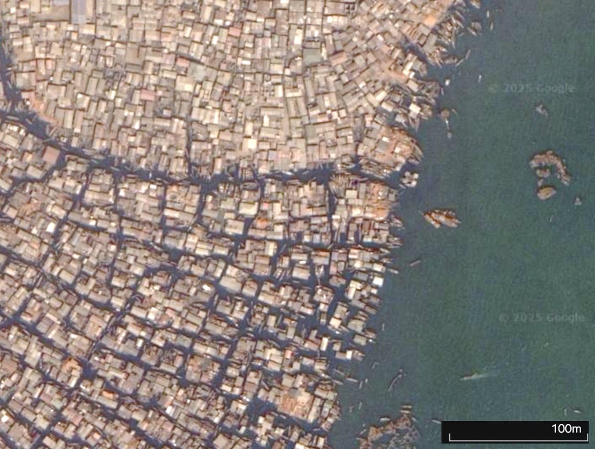
Our new paper in npj Urban Sustainability shows AI model on satellite imagery to detect urban gers—Mongolia’s distinctive form of informal housing. Our results shows that their improvements have been disturbed since COVID-19 (https://t.co/IkUP3XqhFM)
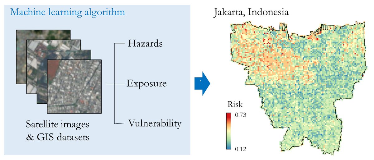
We predict flood risks in vulnerable areas by training an ML model on hazards, exposure, and vulnerability. See the final risk map of Jakarta. #FloodRisk#MachineLearning#ClimateTech
🚀 Unveiling our latest research on #MachineLearning and #satellite imagery for climate risk assessment! Our model offers detailed risk analysis for areas like Jakarta, Indonesia. #DataScience#ClimateChange https://t.co/1TtASm8YFW
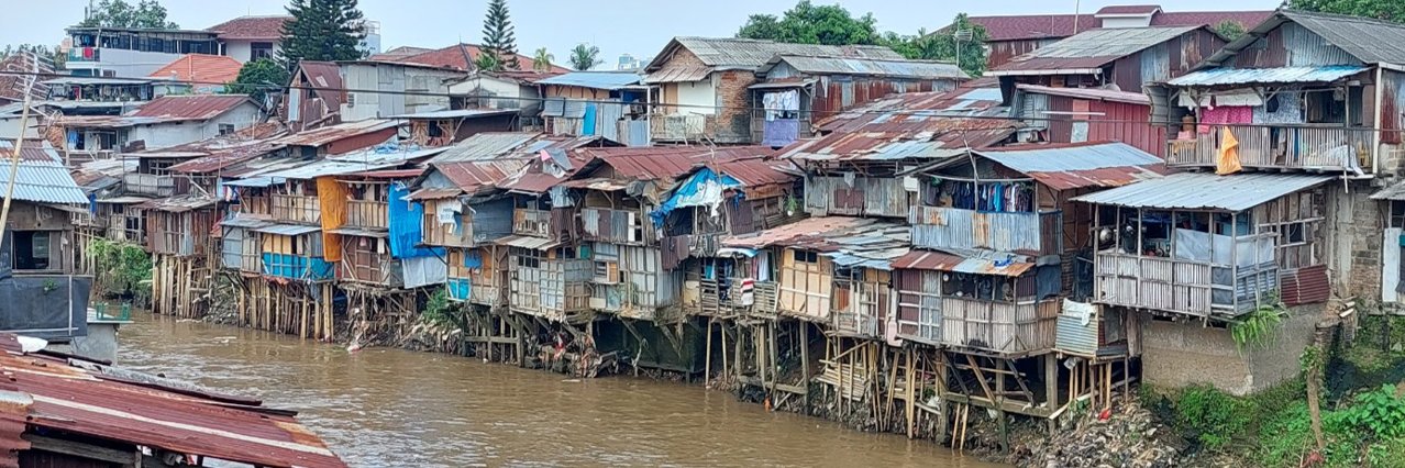
Our PhD student, @jeasurk, published a paper in Envt & Urbanization that investigates the linkages between climate change adaptation, coping and vulnerability in riverside slums of Phnom Penh, Cambodia, using a theoretical frame of cumulative adaptation
https://t.co/Kha49DAO0F
How well can you tell #COVID19 rumors? Please join the survey https://t.co/Ozl6vGvjvJ and contact me to join the "Facts Before Rumors" campaign. Created with @IBS_media@kaistpr and @EwhaWomansUniv