Our @fema#GIS teams have been working with partners like @CDCgov to integrate reliable data with response tools for #COVID19. We’re now also using this data to ensure our hurricane season storm responses take pandemic impacts into account.
#Cristobal
We are launching in partnership with @Esri a new @UN COVID-19 Data Hub to share #CovidData in an open and interoperable web #GIS environment, linking to a federated network of national and global #Covid19 data hubs.
https://t.co/3IaKcnAIjc
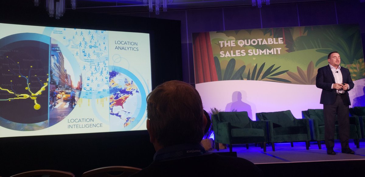
Great afternoon! @jeffapeters speaking at #DF19 Sales Summit on how to leverage location intelligence and #GIS to improve territory design. How will you use @Esri to better understand your customers and market?
Just Announced: Curated data and digital maps from Esri's #LivingAtlas coming to @salesforce customers. Now Salesforce users worldwide can combine their business data with geospatial analytics and mapping for competitive advantage. https://t.co/VBP5kvwUOj #DF19
🎉We are excited to announce that we are now a partner in the ArcGIS Indoors Specialty. This designation is given to @Esri partners with expertise in indoor mapping, location analytics, and the implementation of solutions or services using @ArcGIS_Indoors. https://t.co/1aOPbD0YrL
#ArcGIS Excalibur is a new cloud-based imagery app for analysts, imagery specialists, and managers to collaborate and deliver timely geospatial intelligence to decision makers. Esri's Matt Calamito gives us a preview! https://t.co/43w35IkQve #FedGIS
Want to take your paper workflow digital? Register for our free @Esri#ArcGIS#GIS workshop in Malvern PA next month on #Survey123! Two sessions, intro (https://t.co/Rcn5LIIEzq) and advanced (https://t.co/DFHPvIMKCD) - pick one or both!
#Esri President’s Award presented to the American Red Cross- they have thousands of volunteers who use #GIS to respond to natural disasters #Esriuc2018
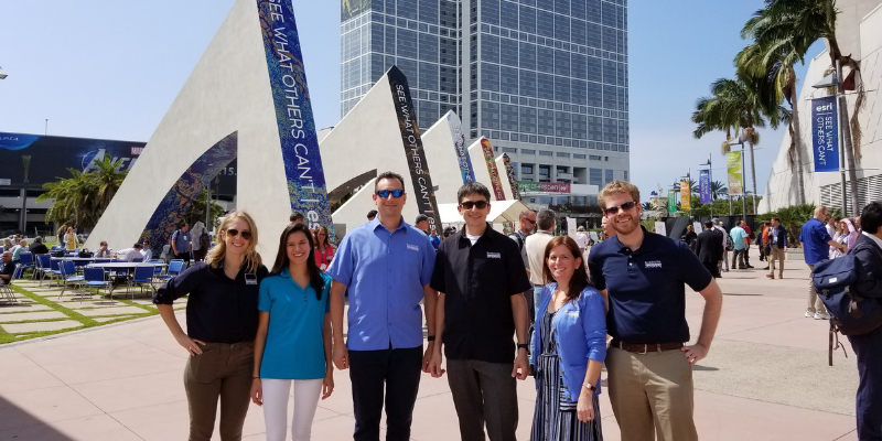
Ever noticed the amazing, eye-popping graphic displays at #EsriUC? Derick Mendoza, one of our many talented graphic designers will give you a sneak peek of this year's designs! https://t.co/SOKdLCJ5x8 #GIS#GeogeeksUnite