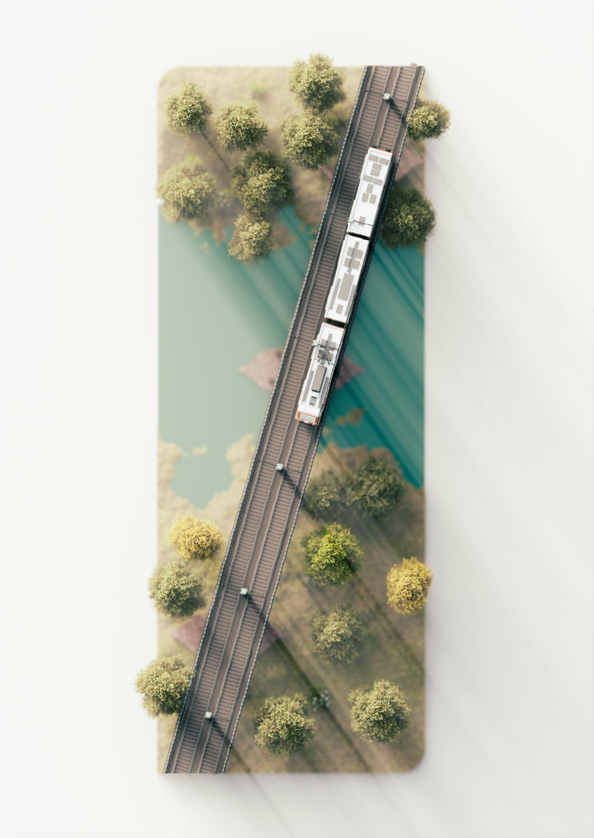
@MapsbyW Thanks! The hardest part is definitely finding decent heightmap files that also look good as renders. There's a lot of resources for terrain maps around the world so I did more of those, cities are much harder to find
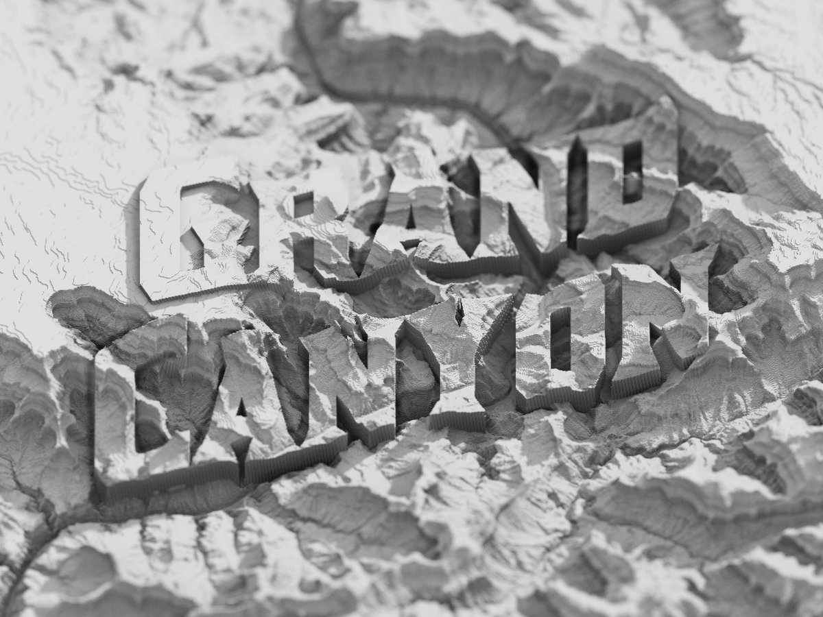
@MapsbyW@ephtracy So I opened the image in Photoshop and just typed a text later over top, then reduced the opacity so the heightmap showed through a bit! You could do the same thing in any image editor, and just export it again as a png/jpg
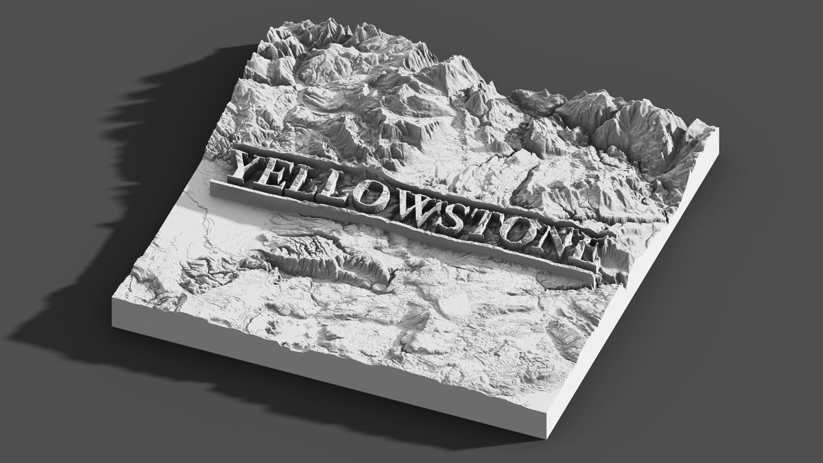
@MapsbyW@ephtracy Thanks! The renders are generated based on a heightmap, which determines height from the light and dark parts of a black and white image.
I typed out the words and edited it to lighten the parts with the letters, so it's like those parts got moved up higher above the landscape!
"Station#1224" ❄️😌🛷
If you miss the flight, you are welcome to stay at this sleigh motel. You will be sent home the next morning. A Christmas collaboration with HOLLY 🍻
拒绝就地过节,平安送你回家,大家圣诞快乐。
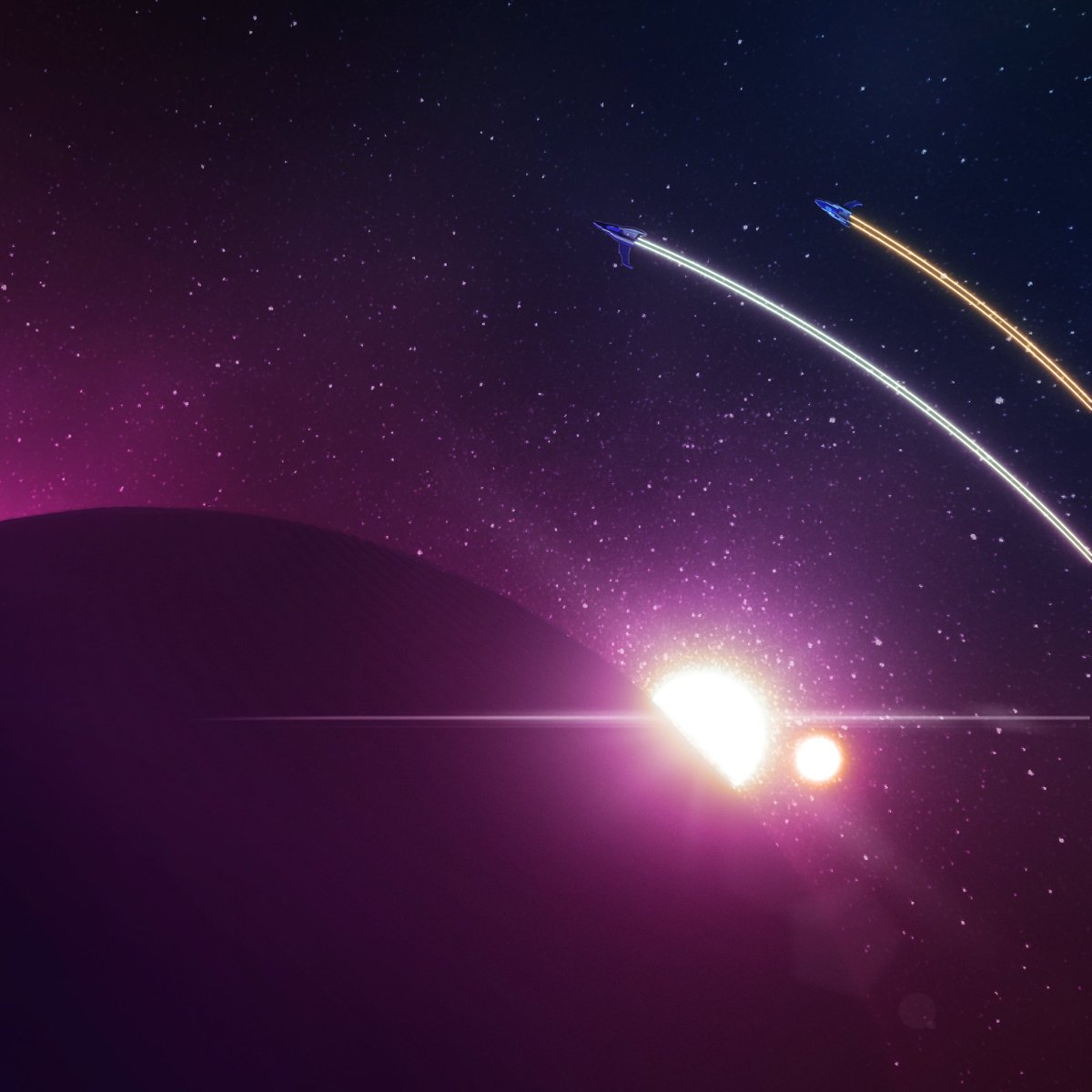
🎵"TWICE A DAY" by @beatsbyholly#voxel#voxelart#magicavoxel
It's my voxel anniversary!
Today, 3 years ago, I started making voxel art!
Thank you, everyone who helped me along the way
and @ephtracy for the incredible free software.
Here is my creation to mark the start of my 4th year doing voxels
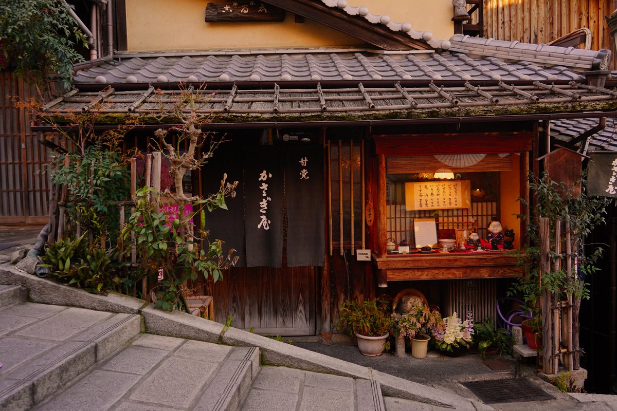
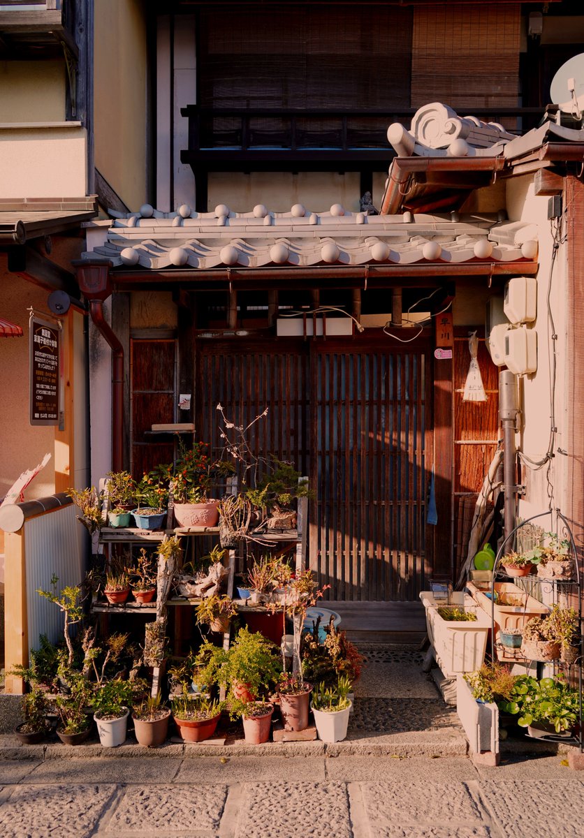
Storefronts reference set!
Feel free to use and share them for your artworks 💜
More available on my KoFi, 120 pictures of Japanese shops available for free!
Link in the replies
Someone cloned KenShape, open sourced it and is now implementing NFT minting.
Absolutely gut-wrenching. I give away so much for free and the only thing that generates a bit of income gets taken. I'm... I just want to give up.