When what with my wondering eyes did I peek,
But a StoryScape issue for geospatial storytelling technique.
🛷 Give maps a role
🎅🏼 Put a hero in your story
🎄 Create a little world
❄️ And more...
Happy holidays—and here’s to more stories in 2026: https://t.co/l18afQb970
Deeply inspired by @John_M_Nelson cartographic storytelling ✨
Your work taught me to see maps beyond data — as stories shaped by terrain, light, and form. This physiographic map of Rajasthan is my humble attempt to explore that visual language through GIS.
Thank you !!
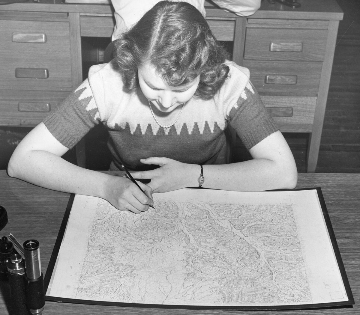
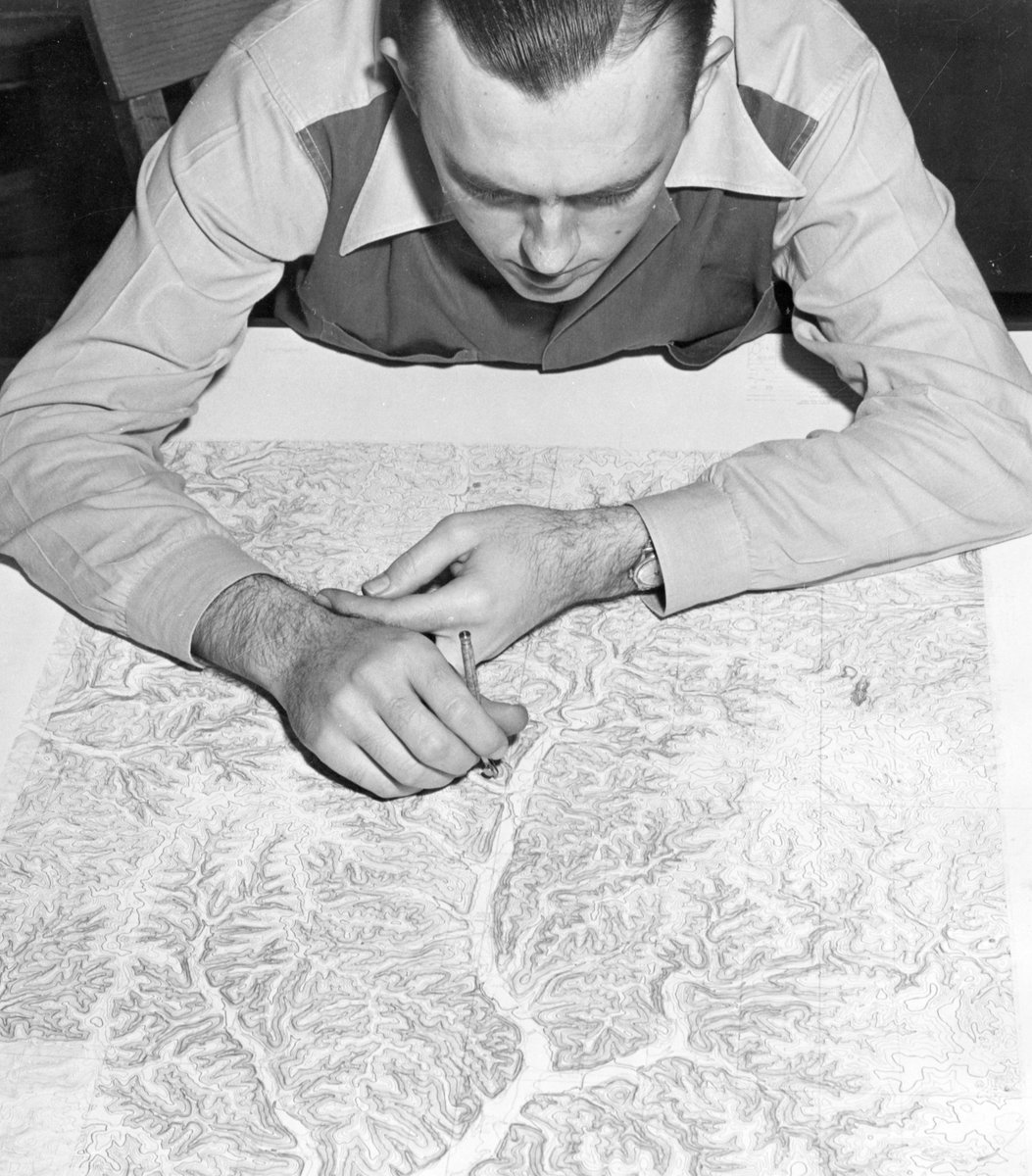
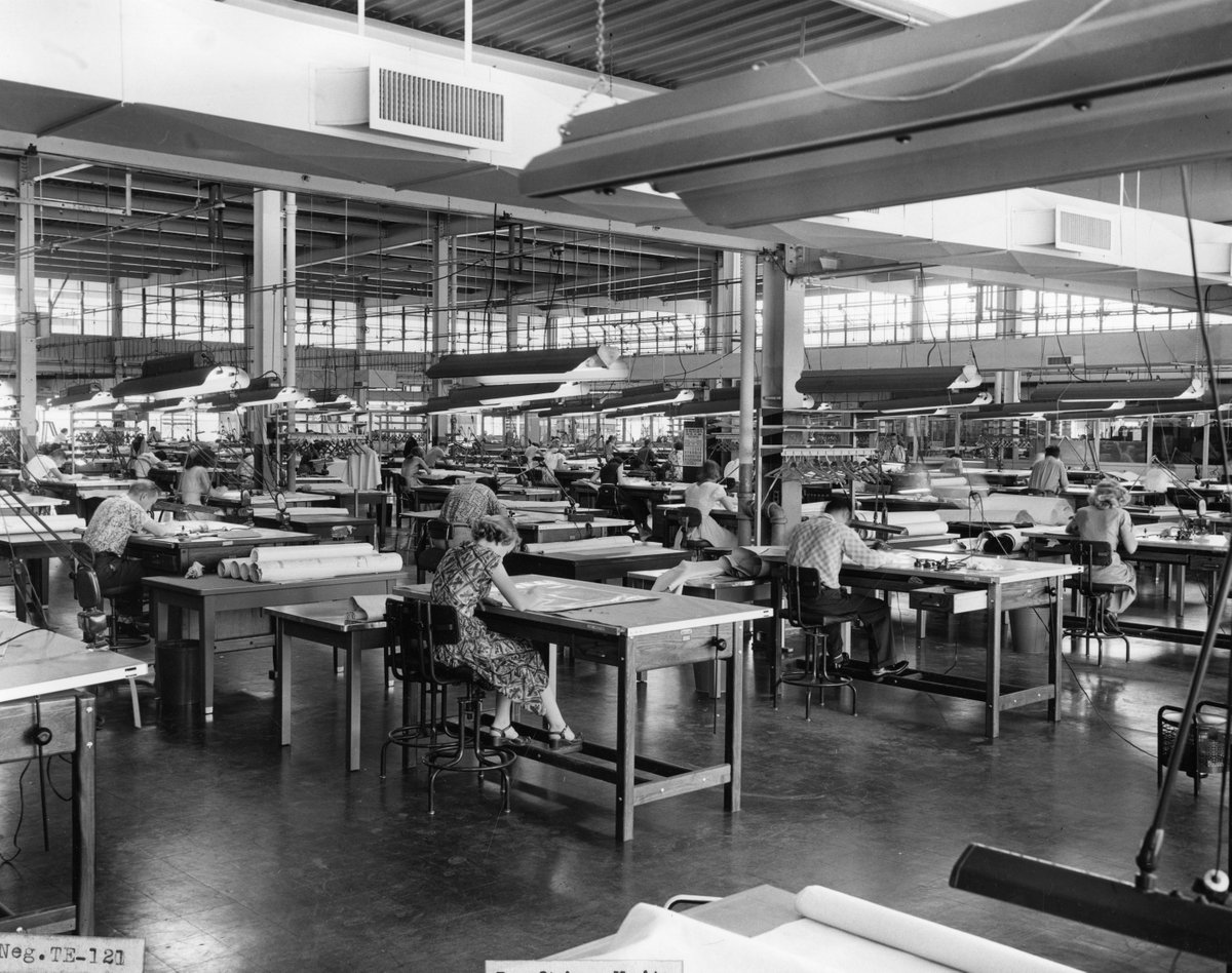
Mapping history, one contour at a time! 🗺️ Just another day in 1952 for USGS cartographers, mapping the landscape. 145+ years later, topo maps still guide scientists, governments, and weekend explorers.
More on the history of topographic mapping here: https://t.co/r4VmvWSGL5
📍 Khasara Map-1/2
Land parcel boundaries mapped with precision using GIS & RS tools.
Empowering smarter land management decisions.
#GIS#RemoteSensing#CadastralMap#WomenInGIS
Venus, Mars, Jupiter, Saturn — and a soaring stellar eagle!
Our "What's Up" series breaks down what you might see in the night sky this July: https://t.co/ZFXnbNh2Yz
🌍 Ever seen an eye in the desert?
The Richat Structure—or Eye of the Sahara—is a 40 km-wide geologic dome in Mauritania, visible from space!
Mapped its surreal beauty using elevation data. Nature’s own fingerprint.
#GIS#Geology#RemoteSensing#EarthScience