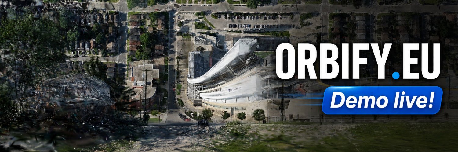
Check out our new demo!
I've been experimenting with Gaussian splatting for spatial interfaces, and just released a playable demo here: https://t.co/XuNDjVX0uw
I'll keep developing and post updates, please comment for feedback and suggestions
Built on top of @playcanvas engine🔥
Great to see Orbify featured in @TheRegister
The article takes a closer look at the idea behind our continuously warped navigation interface, the patent, and the questions we still want to test through research.
@michaelybecker Exactly. The virality has basically turned into a massive, unsolicited user study 😅 Lots of useful signals in both the love and the criticism.
One thing I’ve learned from the internet:
Shape rotators immediately get Orbify.
Wordcels want a 12-page explanation of what problem it solves.
I’m starting to understand our target audience 😅
“What problem does Orbify actually solve?”
Whenever you need to understand what’s around you and how it fits into the bigger picture, there may be a use case.
Navigation was our starting point, and we’re writing a research protocol to properly measure the pros and cons there.
Beyond that, we’re exploring other spatial interfaces 👀
Same core idea, different problems.
Orbify was added to the curated “Awesome @playcanvas ecosystem" under 3d Gaussian Splatting on @GitHub with 478 stars! Thanks @willeastcott really appreciate it 🙏
https://t.co/ElIFHz0ojI
“What problem does Orbify actually solve?”
Whenever you need to understand what’s around you and how it fits into the bigger picture, there may be a use case.
Navigation was our starting point, and we’re writing a research protocol to properly measure the pros and cons there.
Beyond that, we’re exploring other spatial interfaces 👀
Same core idea, different problems.
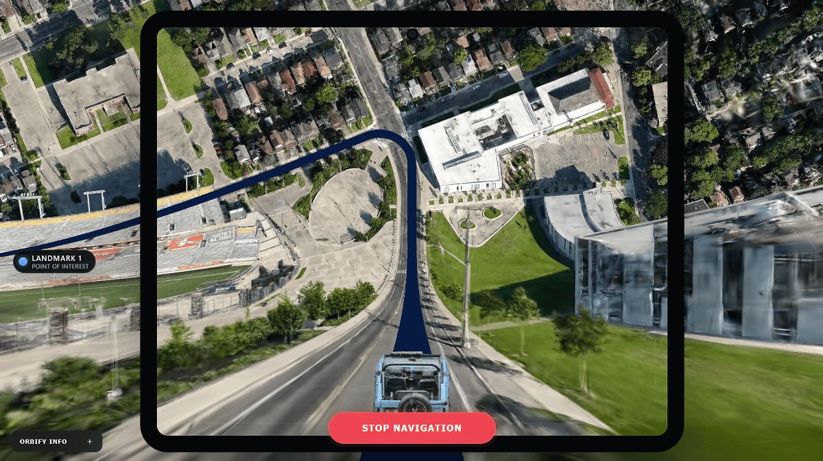
What if a 3D map could show where you are and where you are going at the same time?
This "Inception Map" concept takes a 3D Gaussian Splatting scene and warps it into a curved, vertical horizon.
You get the immersive detail of street-level 3D while still keeping distant landmarks and the bigger picture in view.
Think FPV drone navigation, city exploration, site surveying or even game-world maps.
3D maps don't have to look like maps. They can feel like worlds. 🤯
Try the interactive demo
https://t.co/IPulh6or9s