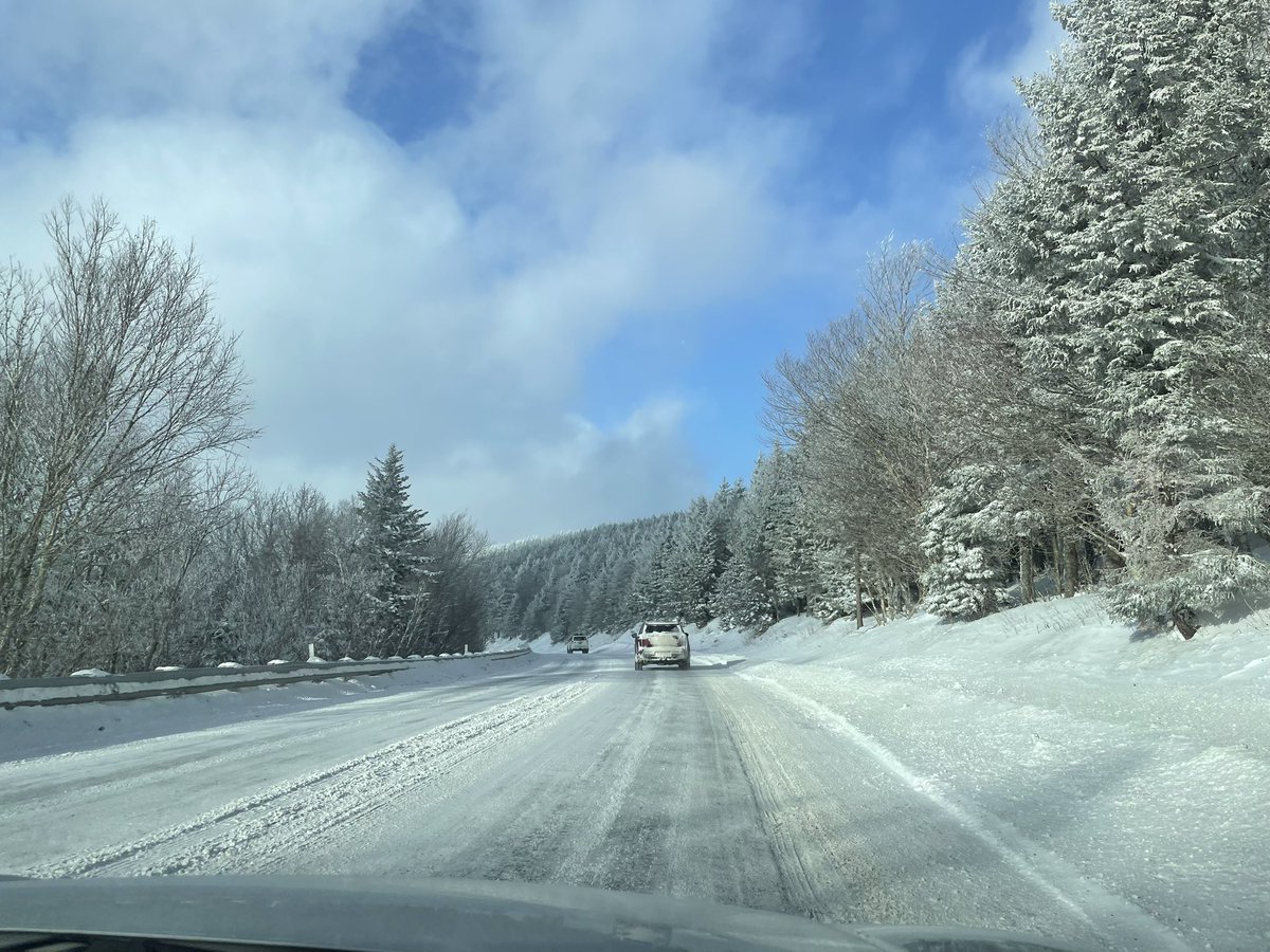
Mid-Atlantic/NE didn’t land the system we wanted given the potential in place a week ago—so I had to get myself to Timberline mtn in Canaan Valley (WV) where the backside NW flow has been battering moisture upslope the Appalachians, recording 32”+ of #snow in the last 7 days.
In a stunning turn of events, DC area managed to get in on some of the action😂 yet another favorable model trend for DC this winter, leading to a quick lil thump/coating of #snow before system wraps off coast towards SNE…happy for my nova ppl
Punxsutawney Phil literally makes one forecast, which is wrong most of the time, and dips, yet he is revered by most.
I suffered through 4 years of Calc, Physics, Thermo, Programming, etc. to get my Met degree and people think I’m paid to be wrong. Maybe I chose the wrong path.
Just about this time 8 years ago(2016) was the start of biggest snowstorm of my life… storm total amount of 36” at my home—today is a holiday for all the DMV weenies #VAwx
Found the good stuff at 4,848ft on the summit of Snowshoe, WV—feels like a west coast environment up here after receiving 11” of snow the past few days…along with -15F windchills. Haven’t seen a natural base this good in years @snowshoemtn#WVwx
While dry air ate most the snow in BBG, Ashburn, VA cashed in on roughly 4” of new snow on top of 3” snow depth(picture from Mom)—potentially more pivotal backend snows for DC area as system dev. off coast. Brutal cold and wind on the way this wknd as trough moves on thru…
“At least a few tornadoes are expected…” per SPC. Tornado watch just issued for entire DMV region, general area under MDT risk svr weather, 10% tor risk—most should stay alert thru the afternoon into evening #vawx
Juicy environment allowing for some storms to emerge in the immediate metro region with little movement—I’m loving the outflow helping to cool down this awful hot/humid air.