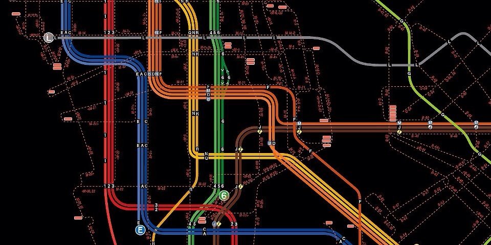
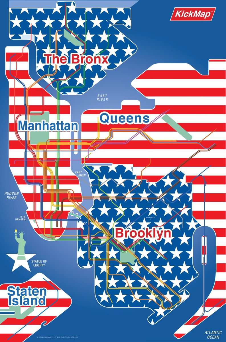
Dynamic transit mapping that clearly shows the transit system – and its important relation to the city it serves – its streets, parks and neighborhoods.
Go to the AppStore to download the latest KickMap NYC app update with the MTA’s new weekday “F/M lines swap”. The app will automatically switch back to regular M/F routes late evenings at 9:30 pm and on weekends.
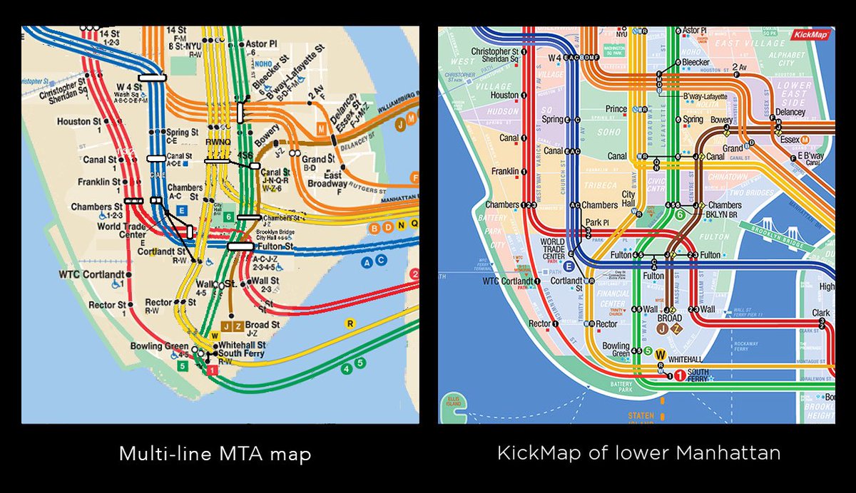
The new MTA subway map released today copies our KickMap app's unique and copyrighted “number/letter station dots” design IP. We strongly believe that the MTA copying our key KickMap way-finding design feature on their uninspired ‘70’s style designed map dilutes our IP.
Booo-York at the Witching Hour: Beware! Tonight at 11 pm KickMap/NYC’s night mode will transform into a ghoulish but fully functioning transit app until dawn tomorrow…
Happy Halloween!
#transitfun#NYC
Newark Airport is as close to Midtown as JFK is - so why not show clear transit connections there? Now we do. Thanks to Nicholas M for that important suggestion.
#EWR#NewarkAirport#NJT#NYC#transit
Booo-York at the Witching Hour: Beware! Tonight at 11 pm KickMap/NYC’s night mode will transform into a ghoulish but fully functioning transit app until dawn tomorrow…
Happy Halloween!
#transitfun#NYC
@thenycsubwaymap The KickMap is inspired by the 1930’s Hagstrom transit maps relationship to the above-ground City - however we are also inspired by both Beck’s 1931 and Vignelli’s 1972 beautiful diagrams that have amazing system clarity. Our app’s dynamic hybrid-diagram is to achieve both 🚀
@thenycsubwaymap The hybrid-diagram KickMap is a more sophisticated mapping solution to this debate as it combines the clarity of a diagram but also shows the City’s parks, streets & neighborhoods.
We would like to help the @MTA have a clearer, more versatile map!
@sarahabtw@sourdoughvalley To be clear - we’re not criticizing the service changes design on the @MTA map, just the use of our IP on this particular diagram map that was created back in 2008, that was based on one created in 1972.
@sarahabtw@MTA diagram is based on one they developed 50 years ago with a poor relationship to NYC’s above ground streets & parks. But they can’t just use our number/letter/dot IP which will cause confusion with KickMap. We’d love them to use the KickMap hybrid diagram in total, not parts!