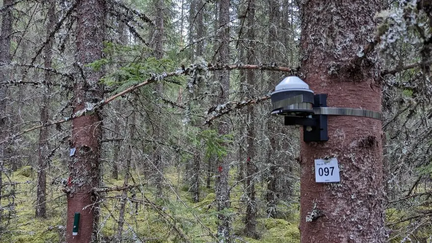
Citizen science and gamification are proposed for collecting in situ forest leaf area index data. LAI can be estimated reliable by taking 20 smartphone images per plot of forest canopies at 57° zenith angle. https://t.co/i87z39IG1k
"🚨 JOB OPPORTUNITY 🚨 We're hiring a postdoc with R/Python programming skills to join our project on fuel load mapping using TLS, GEDI, & L8 data. Apply by submitting a cover letter & CV by Dec 1, 2024, to [email protected]. Don’t miss out! https://t.co/ncJpx61h7C
Exciting Opportunity: Join Our Team!
We are seeking a Postdoctoral Researcher in Remote Sensing for a 2.5-year position.
Application Deadline: 20th December.
https://t.co/aFctLmQtK1
Our recent article shows that model overfitting can cause serious effects on population estimates when using internal models in remote sensing supported forest inventory: https://t.co/HXIARGNQ1V
Supplementing airborne laser scanning data with a Sentinel-2 time-series can improve species-specific volume estimation results compared to using only one Sentinel-2 image. Full paper here: https://t.co/Aj49vculT0
🌲Would you like to study climate effects on forests by remote sensing? We have an open three-year #postdoc#position within #remotesensing of forests! Study the "pulse" of trees using RS and dendrometers.
Learn more and apply here 👉 https://t.co/Jl0OGG4I7k
We are hiring!
Are you an expert in image analysis using AI looking for an exciting new challenge? Join our groundbreaking research project, “A novel approach to tropical dendroclimatology using hyperspectral imaging and deep learning (ATHIL)”!
https://t.co/x7kQDNsf0w
Are you interested in remote sensing and sustainable forest management? We are looking for a postdoctoral researcher to join our team @SkogRover and work with remote sensing techniques 🛰️ to assess the suitability for selective logging. See: https://t.co/EnQZNTaPqL
🧵1/3 I'm hiring! If you’re passionate about Arctic ecosystems & remote sensing, this PhD position is for you!📡Join our team @UEFGeoHistory to investigate how browning & greening are reshaping tundra ecosystems. Expect drones, satellites, and some epic fieldwork in Lapland! 🏔️🌿
🌲💻We are hiring! An open position for a doctoral student in our team in a project led by @AarneHovi Topic: Remote sensing of boreal forest biomass with satellite laser sensors, with a focus on physically-based modeling. Please RT https://t.co/XwlNHiLqr8
We investigated how seasonality and sensor configurations influence tree species prediction in boreal forests using photogrammetric UAV data and multispectral images. Check out the full paper here: https://t.co/Svi9qMg6tf
@LukeFinland
We have an open 4-year post-doc position in a new reseach project that aims to develop new AGB estimation methods using ICESat-2 spaceborne lidar data: https://t.co/BTXefspOii
@sumantach26 I don't think that ICESat-2 altimetry is accurate enough to detect crops. It can miss even small trees up to about 5 m height. With GEDI data crop biomass estimation could be more feasible.
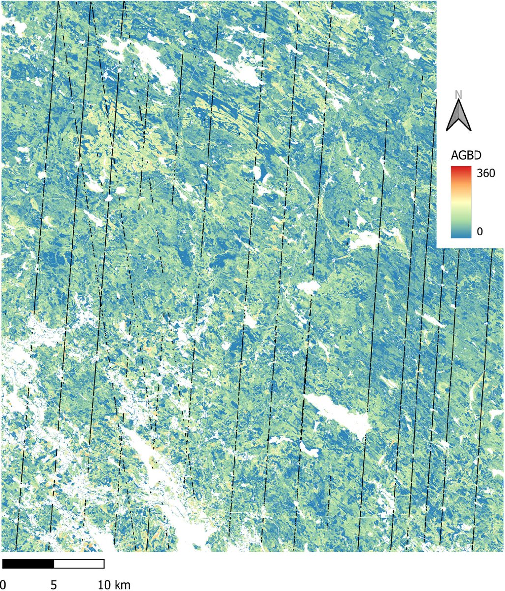
We estimated above-ground biomass of a boreal forest area and its uncertainty using ICESat-2 data and hierarchical hybrid inference. The results obtained in an independent validation matched well with an ALS-based reference estimate. https://t.co/hDSyidbj9G
There is more space laser research to come, thanks to our new TransfeRS project (2024-2028) funded by @SuomenAkatemia. I’m looking forward to working with @AarneHovi and many others to get it done!
Katsauksemme metsien monimuotoisuuden mittausteknologioista on nyt julkaistu Metsätieteen aikakauskirjassa. Siinä arvioidaan kaukokartoituksen ja metsäkonetiedon käyttökelpoisuutta monimuotoisuusindikaattorien seurannassa tutkimustietoon pohjautuen.
Uudessa kirjallisuuskatsauksessa tarkastellaan, millaista tietoa metsien monimuotoisuudesta saadaan nykyaikaisen kaukokartoitus- ja sensoritekniikan avulla. Hakkuukonedatan hyödyntämisellä voidaan lisätä kaukokartoitusdatan tarkkuutta. https://t.co/7dXu8ENtPw