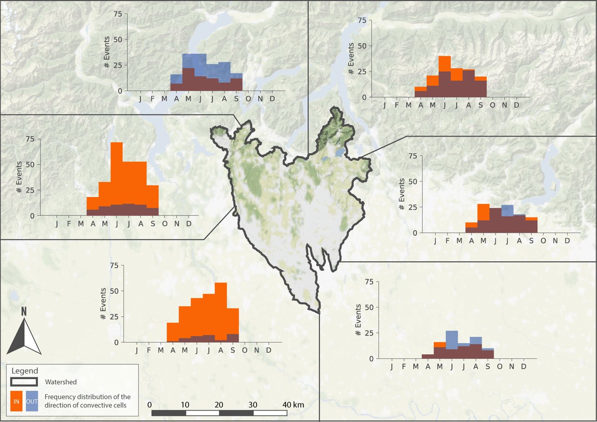
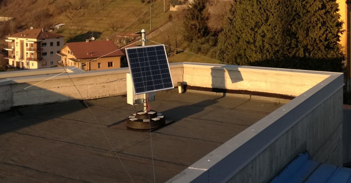
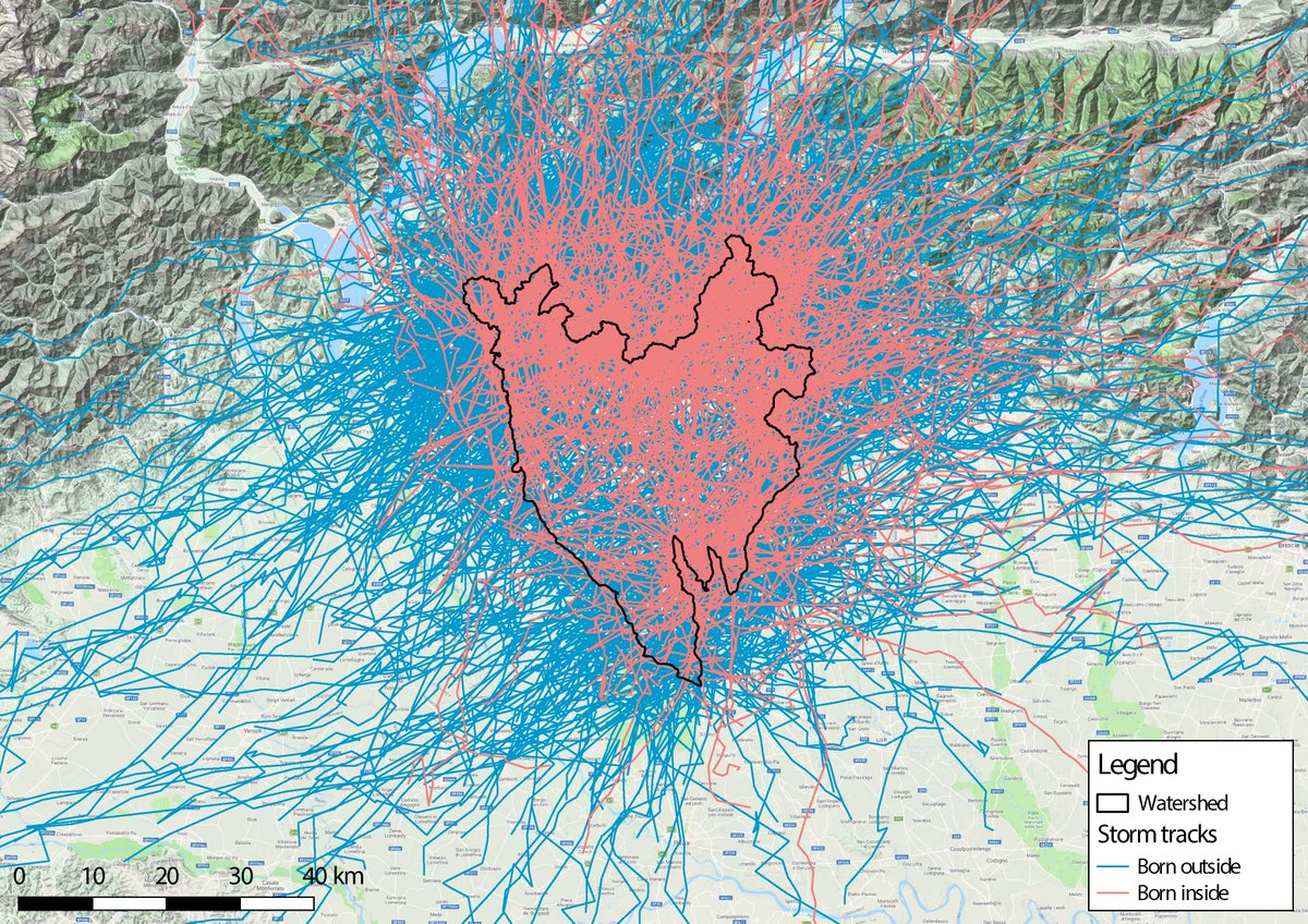
LAMPO è un progetto di ricerca guidato dal Politecnico di Milano che contribuirà a migliorare la previsione a breve termine dei fenomeni temporaleschi intensi.
The HYPER-5G project has a new logo!
Currently, GReD, @polimi and @algoWatt are fully committed to defining a suitable system concept. The first stakeholders are already expressing interest in the project.
HYPER-5G is funded by @esa in the NAVISP Element 2 Programme.
#GNSS#5G
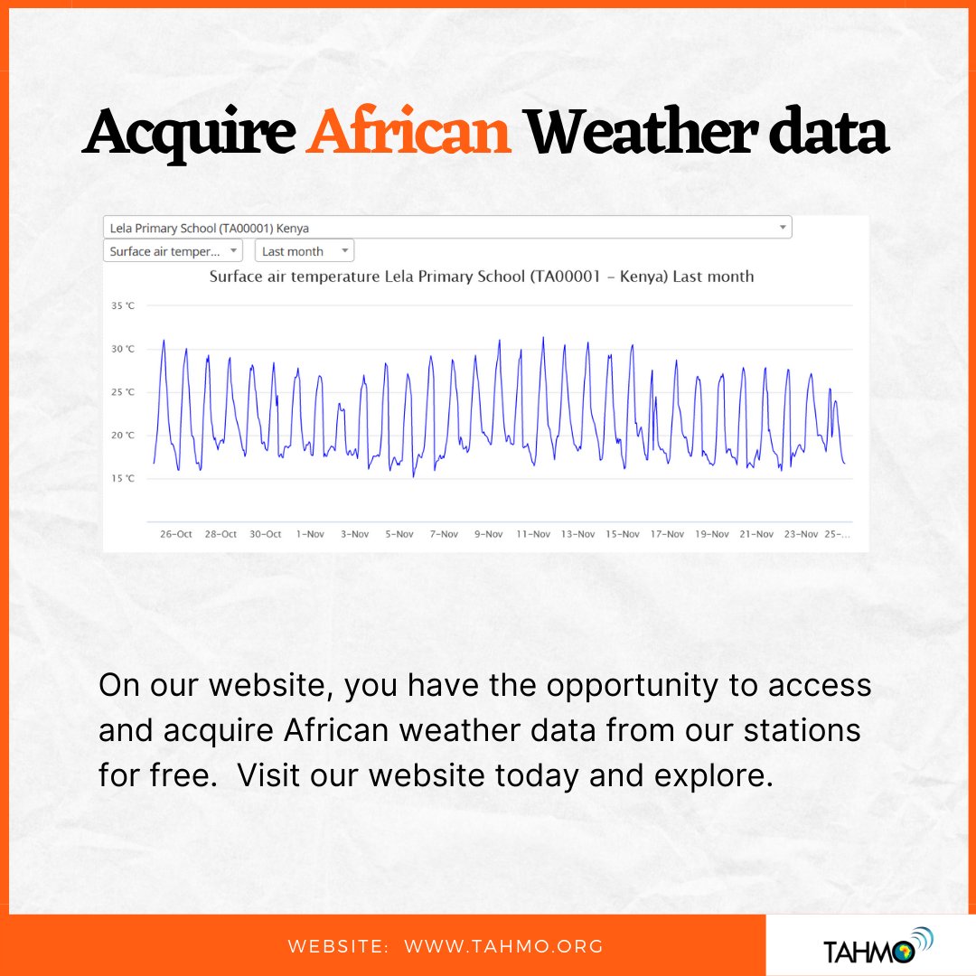
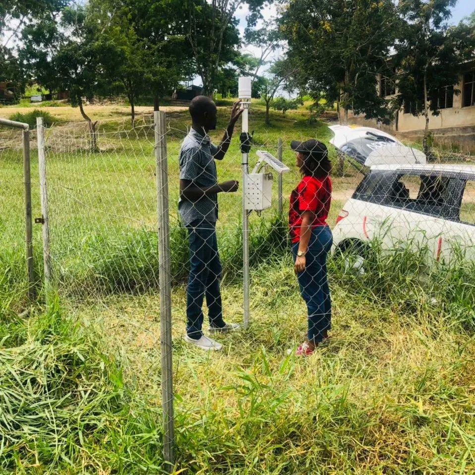
Get access to our weather data from any of our stations across Africa.
1: Visit our website (https://t.co/L9ha6mhq16)
2: Pick what location you want
3: Pick what climate data you would want to check out
4: pick a time line.
With these few steps you have access to our weather data
GReD fa parte del Catalogo “Italian Space Industry 2021-2022”, interessante iniziativa promossa dall'@ASI_spazio .
E' una grande occasione per diffondere e far conoscere le realtà italiane attive nel mondo della Space Industry!
Info su:
https://t.co/vG1ozDZ2VZ
È arrivato al termine⚡il #progetto@Lampo_Polimi che sfrutta il sistema di posizionamento satellitare #GPS/GNSS per la stima del contenuto di vapore acqueo in atmosfera.
More on: https://t.co/7IGwIA7Pl4
#LAMPO – Lombardy based Advanced Meteorological Predictions and Observations | Final event
🗓30th September 2021
🕙10 am – 1.30 pm
More details are available on https://t.co/Kn09O0hMI7
The TAHMO team have been working round the clock to improve our already existing services and at the same time come up with new innovations.
While we work, we thought to give you a little reminder of who we are and why we exist.
THIS IS TAHMO. Enjoy!
@GReD_srl and the monitoring solution @GeoGuardGNSS are published in the special "BRIDGES, VIADUCTS AND INFRASTRUCTURES: Excellent Companies" of the @sole24ore newspaper. Always ready to work and innovate towards a more resilient environment!
The standard method to estimate water vapor maps exploits the so-called Permanent Scatterers, i.e. targets such as rocks or buildings which are, temporally stable. The drawback of this is Permanent Scatterers density is usually low in rural areas.
https://t.co/Pzzoggrr3U
Congratulations to professor Monica Riva, for her service as #Science Officer of the Subsurface #Hydrology (Groundwater) subdivision of #EGU- European Geosciences Union.
📖Read more on our #website https://t.co/jLpgQkfNmq
The GSA-funded @GIMS_Project focusing on new integrated space technology for landslides & structures’ monitoring, is coming to an end.
Join the participants in the final online event!
🗓️27 Jan
⏰10:00 CET
🔗https://t.co/EAujbl1ZAm
#EUSpace#H2020#UseGalileo#Copernicus@ege010
GIMS project is coming to an end. The final event that will be held online on Wednesday 27, January, 2021. https://t.co/ibzvvoI0cF here more information and link to register. See you online!
In the framework of the TWIGA project, @GReD_srl is setting up a demonstrator of a near real-time ZTD monitoring system. Now the demonstrator is working on five GNSS stations belonging to the International GNSS Service (IGS).
🗓 17th December
🕑14:00 (CET)
Weak Points in the Flood Risk Modelling Chain
The presentation will be held by four expert dealing with the relationship between extreme climate-related events and our modelling capabilities.
📲Access at https://t.co/h7SIcBUPS3
#floodrisk#IAHR
UNIVERSAL AND INCLUSIVE ACCESS TO GEOSPATIAL INFORMATION FOR INCREASED PRODUCTION AND PRODUCTIVITY IN AGRICULTURE AND WATER
A wonderful piece written by @m_noort is now available on our website. Simply follow the link https://t.co/hLkQlv4npr
#newblog#twiga