.@GIMS_Project combined GNSS, EO Radar Data & Inertial Measurement Units tech to create a landslide motion detection service.
GIMS stations proved vital in 2023 when a potential landslide was detected after a period of heavy rainfall in Koroška Bela 🇸🇮.
https://t.co/4SuFcqqWAI
Today we have celebrated in Mallorca the first Supervisory Board of the European Doctoral Network on Geo-energies #MSCA#SMILE with all the doctoral candidates on board
Space.Japan successfully supported the Italian company @GReD_srl to apply to METASTARS for strengthening its business in the Japanese market, look forward to seeing them in Tokyo and Osaka!
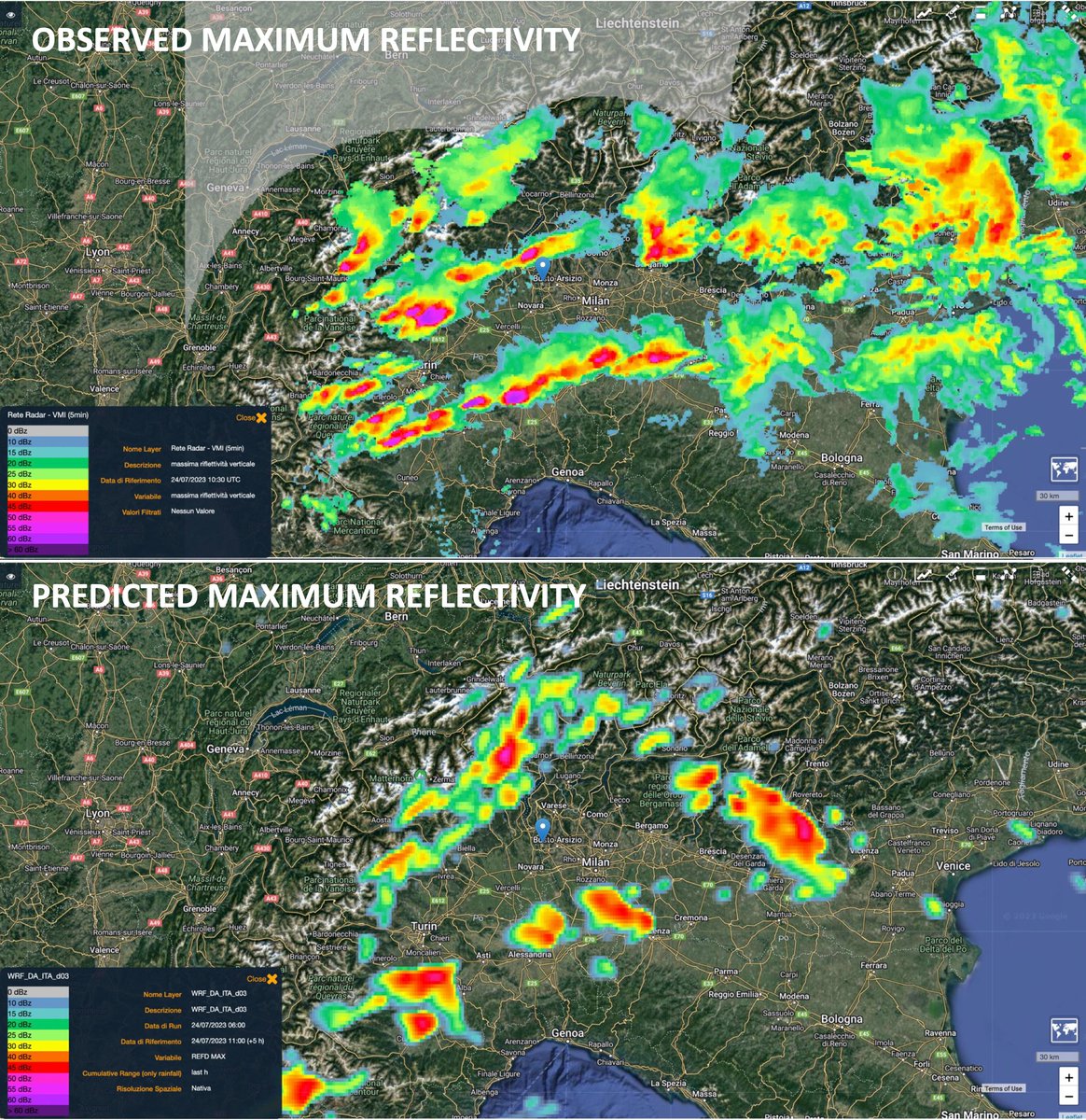
In line with @SINOPTICA_H2020 project approach, our operational WRF model at 2.5 km provided a timely forecast (7:15 UTC, about 2h in advance, lower panel) of the intense convective activity observed on north-western Italy (upper panel) around 10:30 UTC.
👇📍MXP Airport Location
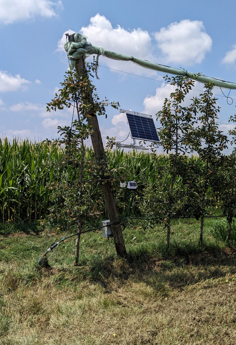
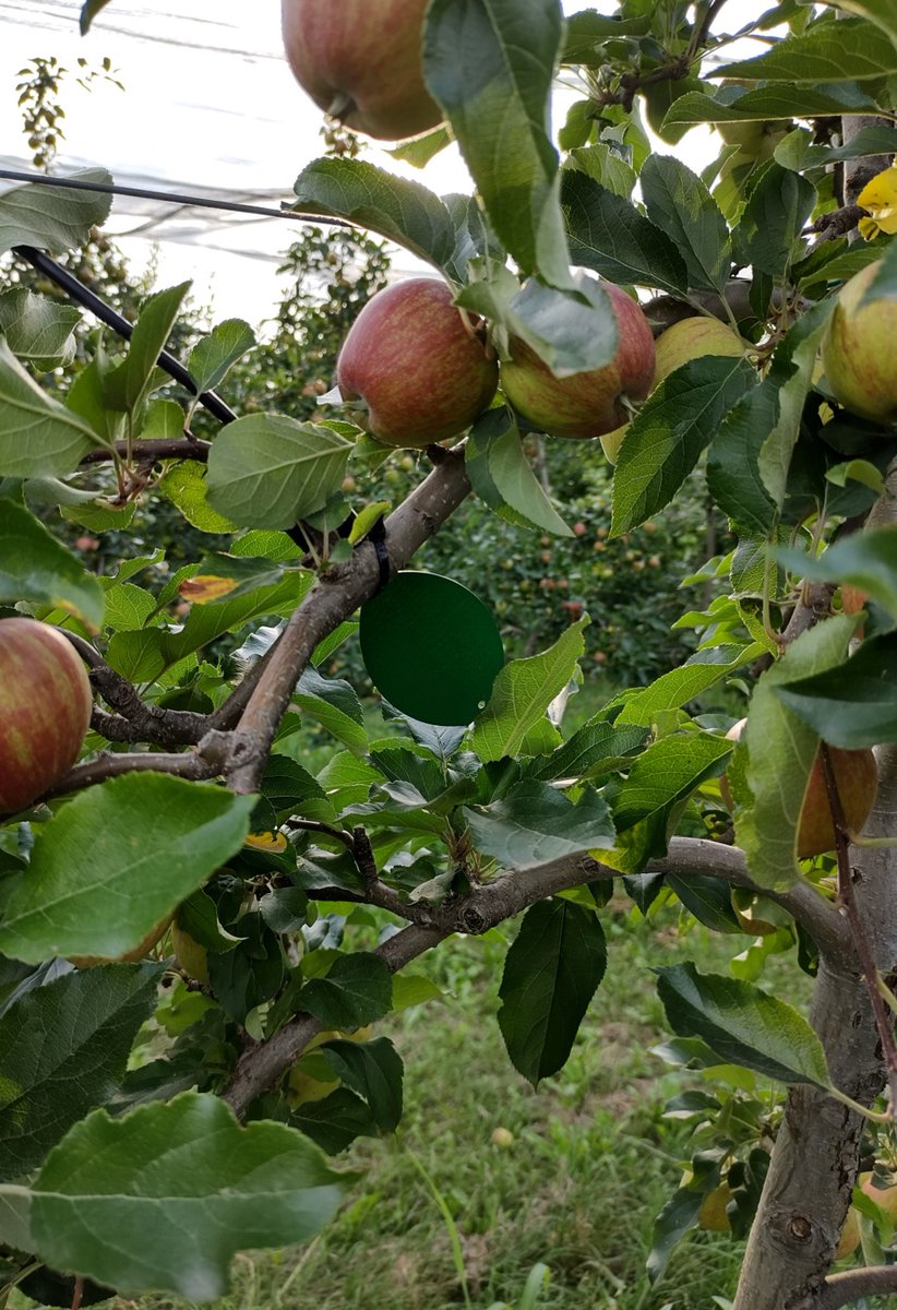
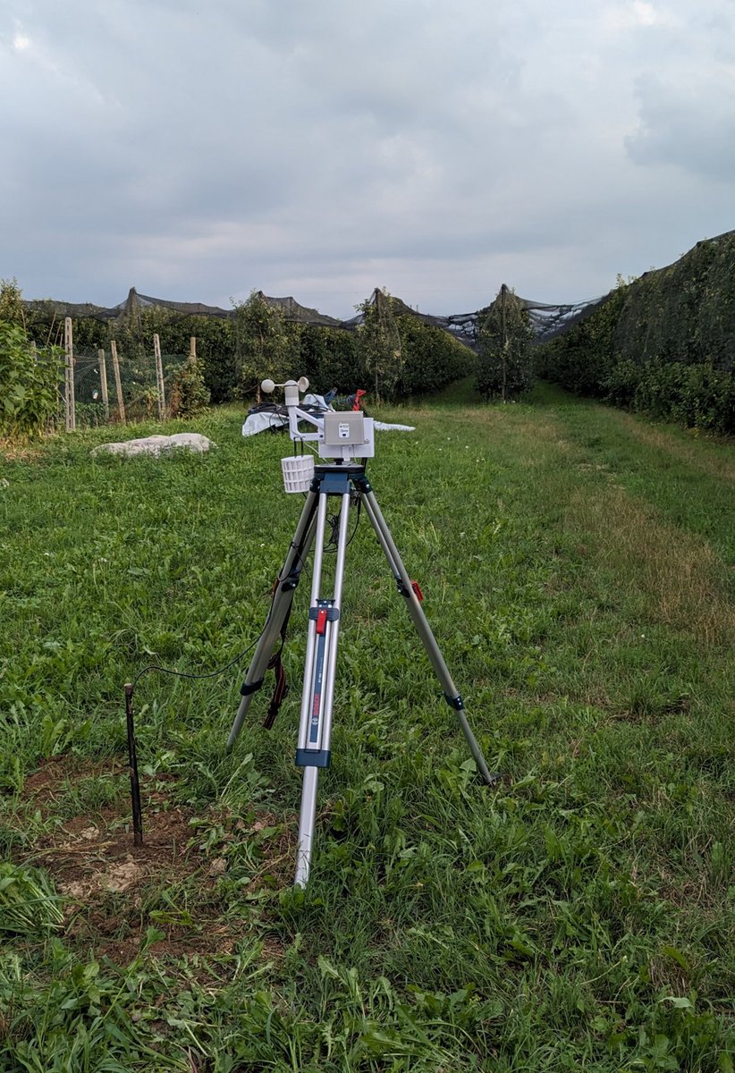
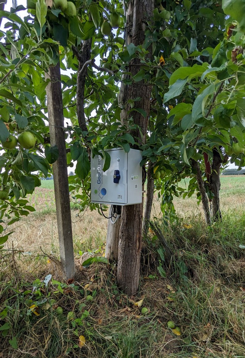
😎 Thanks to the collaboration with the @Cia_Agricoltura and 3 local farmers near #Cuneo, last week @GReD_srl deployed 3 GeoGuard #GNSS units and 6 #metIS hubs close to apple orchards🍎!
Data collection for the Italian demo sites just started! More info coming soon!📣
Live from @EuroGeosciences conference! Our colleague Martina Capponi is presenting the latest advances regarding #gravity applications enabled by quantum sensors, as part of the #FIQUgS project. More info at: https://t.co/PHbYdGV6qj
📸courtesy of @callmeboyk and @DanieleSampiet1
Exciting news from Accra, Ghana! We are participating to the kick-off meeting of the TEMBO project - Horizon Europe programme. We will monitor critical parameters such as dam movements, water levels of lakes and rivers, soil moisture and atmospheric water vapor leveraging on GNSS
We are joining the "International Space Industry Exhibition" ISIEX 2023 in Tokyo, Japan, through the @EUJapanCentre.
You have still one day to discover our space 👾 and satellite-based 🛰 services about GNSS monitoring applications, gravity and Earth Observation!
🛰 Do you know that GNSS can measure water levels? 🌊The plot shows the water level values of Po river obtained by Breva, our GNSS processing software. Data are collected by @GeoGuardGNSS monitoring units. Currently the condition of the Po river is still critical! @ANBI_Nazionale
@takoyaki_3939 One of my and my wife's favorite trains! I still remember the first time we saw it at Kansai airport, back in 2009: it looked like a mix between a robot and a retro spaceship with those round windows 🤖😀
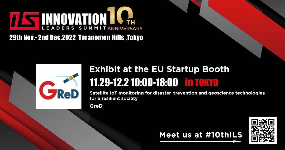
We will join the 10th Innovation Leaders' Summit #10thILS, one of the largest Asia open-innovation events.
It will be a special opportunity to spread our cutting-edge activities related to #geodesy, #GNSS and #geomatics!
Come visit us!
Further info at: https://t.co/DNcBfJdd9p
These cosmic “tree rings” tell a story written by the stars.
Every 8 years, these 2 stars are brought together by their orbits, creating streams of gas that can then form a new ring of dust. Webb reveals 15 of the 17 rings here for the first time: https://t.co/k93phPNoec
Do not miss the upcoming webinar with @ege010 , GNSS Geoscience Applications Manager and BoD Member at GReD.
We are going to talk about precise positioning with low-cost receivers, meteorology, hydrometry and 5G hybridization! Register now!
https://t.co/NpiAgSfruL
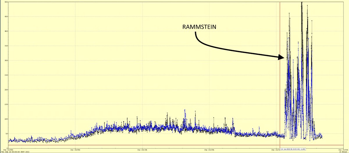
Hallo #Rammstein! Ihr habt unseren Teilchenbeschleuniger gerockt! So heftig waren die Seismometer-Ausschläge noch bei keinem Konzert nebenan im Volkspark in diesem Jahr. 🤘 @RSprachrohr
(Es misst routinemäßig Bodenschwingungen - nicht Schallwellen! - am Beschleuniger PETRA III.)
Just 15 minutes after its closest approach to Pluto on July 14, 2015, @NewHorizons2015 spacecraft looked back toward the sun and captured this near-sunset view of the rugged, icy mountains and flat ice plains extending to Pluto’s horizon [source: https://t.co/Oif3PnN5ao]