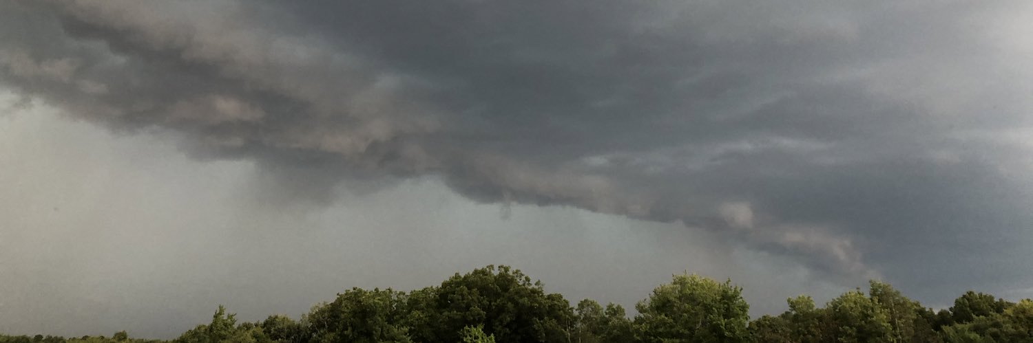
[5:05 AM] Once again, scattered thunderstorms are expected to develop this afternoon. Some storms may produce gusty winds or locally heavy rainfall. Have multiple ways to receive weather information!
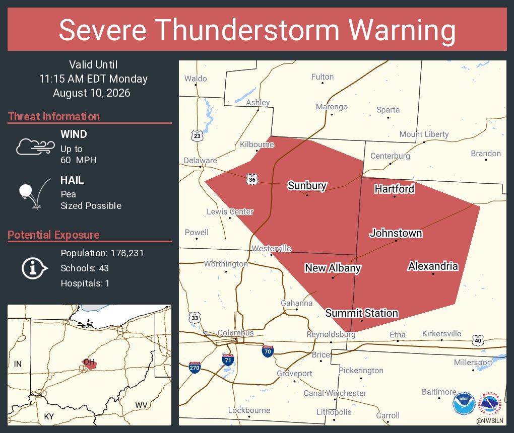
[3:14 PM] While the threat is lower for the local area, the severe thunderstorm watch does include a few of our central Ohio counties (Delaware & Licking). Stay tuned for updates into the evening hours. Damaging wind gusts are the main concern in our area.
Today, I sent a letter to President Donald Trump requesting a Presidential Major Damage Declaration for 23 counties impacted by last month's severe storms, flooding, straight-line winds, and tornadoes.
Federal assistance will be critical in helping Ohioans recover and move forward with their lives.
These storms resulted in a disaster of such severity and magnitude that it exceeds the capabilities of the State of Ohio, local governments, and disaster relief organizations to provide comprehensive support.
https://t.co/F2EU0ZQFDh
There will be a chance for showers and thunderstorms later this afternoon and evening. Central and west central Ohio have the greatest potential to be affected by storms. Conditions will be favorable for some storms to be strong to severe with damaging wind the main threat.
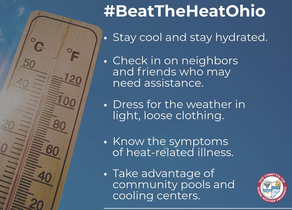
During extreme heat, remember to stay cool, stay hydrated, and stay informed. To learn more about extreme heat safety, visit: https://t.co/C5rh59mx7S #BeatTheHeatOhio
Get your emergency kit ready ahead of peak hurricane season. Check expiration dates and replace items if needed. Use this quick checklist:
- Food and water
- Batteries and chargers
- Meds
- Documents
- Pet supplies
Preparing today can make a difference tomorrow.
Storms may develop into the area Thursday afternoon and evening. At this point in time, it is highly uncertain if that will occur. But if it does, conditions will be favorable for some strong to severe storms.
[7:12AM] A slight adjustment made to the forecast on the Licking River near Buckeye Lake, now cresting to around 883 ft later this morning before it begins to fall this afternoon. Major flooding is still ongoing, with significant impacts to I-70 and nearby locations.
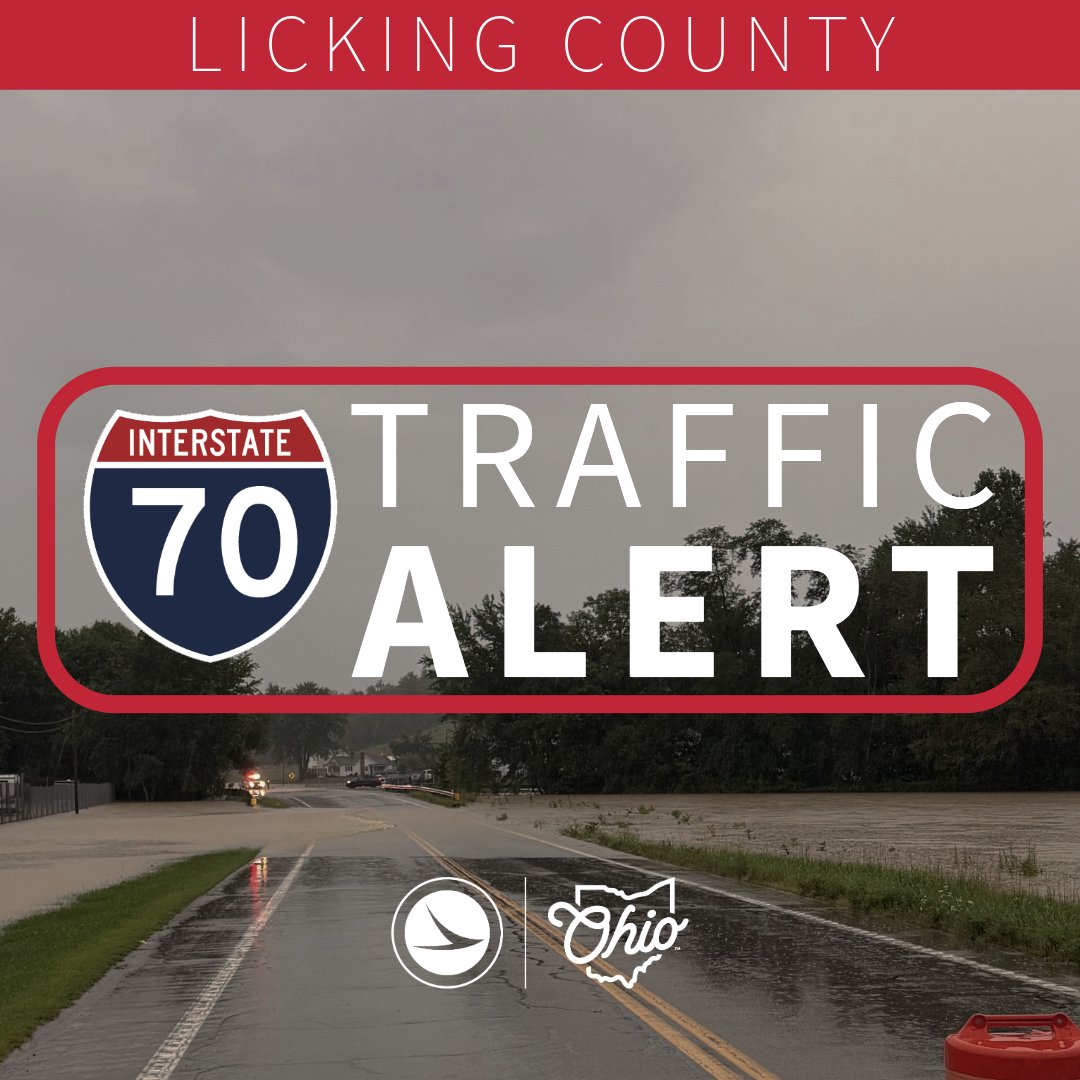
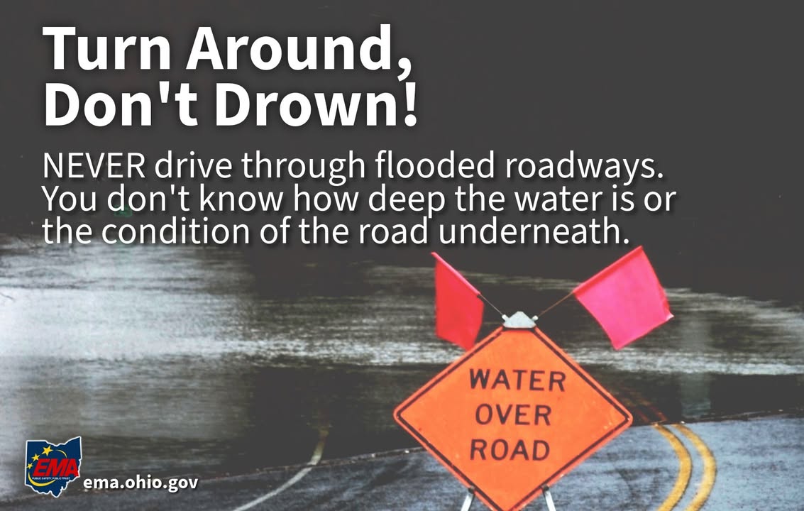
We're already starting to see issues along I-70 near Buckeye Lake. This is Exit 129 west of State Route 79. Water will continue rising overnight, impacting I-70. If you're traveling, make sure you have an alternate route and remember, TURN AROUND DON'T DROWN.
LICKING COUNTY: The eastbound off ramp from I-70 to SR 79 is closed due to high water. We are continuing to monitor the rising water levels in the Buckeye Lake area and their potential impact to I-70 this evening and into tomorrow. Turn around, don't drown.
Never drive through flooded roadways or around barricades.
Turn around, don't drown!
For more information on flood safety, visit: https://t.co/7Lpni96VFV #OhioEMA
The Licker River at I-70 is forecast to go above Record Stage later tonight into tomorrow, leading to impacts along Interstate 70 near State Route 79 and surrounding areas.
Visit https://t.co/oI2girpJaY for current observations and forecasts.
Keep flood safety mind. Never attempt to drive through a flooded roadway, and get to safe shelter immediately if you're under a flood warning. For more flood safety information, visit: https://t.co/NF08NicZj1 #OhioEMA
Keep flood safety mind. Never attempt to drive through a flooded roadway, and get to safe shelter immediately if you're under a flood warning. For more flood safety information, visit: https://t.co/NF08NicZj1 #OhioEMA
It is NEVER safe to drive or walk into flood waters. Turn around, don't drown!
For more information on flood safety, visit: https://t.co/7Lpni96VFV #OhioEMA
A very active pattern coming up!! ⛈☔🌊⚡
Unfortunately, there is high uncertainty regarding timing of storms over the coming days, so we recommend checking radar before you head out and check frequently for forecast updates.


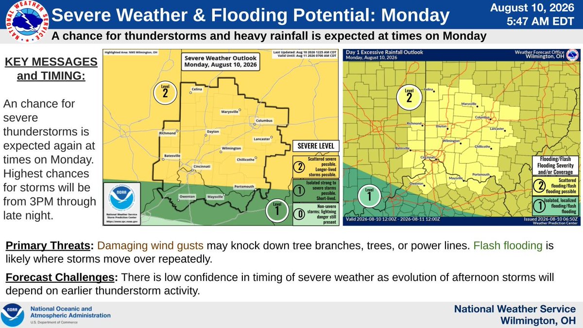


![NWSILN's tweet photo. [5:05 AM] Once again, scattered thunderstorms are expected to develop this afternoon. Some storms may produce gusty winds or locally heavy rainfall. Have multiple ways to receive weather information! https://t.co/EtomqCZqN8](https://pbs.twimg.com/media/HRXHx6WaAAAmDwH.jpg)
![NWSILN's tweet photo. [3:14 PM] While the threat is lower for the local area, the severe thunderstorm watch does include a few of our central Ohio counties (Delaware & Licking). Stay tuned for updates into the evening hours. Damaging wind gusts are the main concern in our area. https://t.co/NMSBQApWVH](https://pbs.twimg.com/media/HRUIEA9WQAAdX_K.jpg)




![NWSILN's tweet photo. [7:12AM] A slight adjustment made to the forecast on the Licking River near Buckeye Lake, now cresting to around 883 ft later this morning before it begins to fall this afternoon. Major flooding is still ongoing, with significant impacts to I-70 and nearby locations. https://t.co/QPmb7bqwAJ](https://pbs.twimg.com/media/HQPeOyHWoAAVT56.jpg)