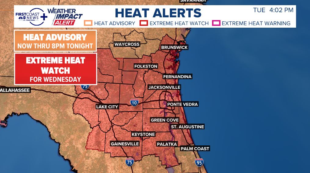
An EXTREME HEAT WATCH is now in place for Wednesday from 11am-8pm for air temperatures in the upper 90s, but heat indices potentially between 108-115° by the afternoon hours.
This is expected to become an Extreme Heat Warning by tomorrow.
Looks like a tropical system right?
What you're seeing is a mid/upper-level low in the eastern Gulf that could, over the weekend, become more of a surface-based circulation. Right now, its just bringing a massive amount of lightning & storm activity from Tampa to Gainesville!