Check out the new ArcGIS Location Platform! 👩💻
It is streamlined for developers with an enhanced dashboard, robust tools, and improved location services — boost your app's capabilities with precise geo-data. 📍
https://t.co/M6u0Y1lUmH
#gis#mappingapi#locationservices
📢 Major Esri developer experience updates in June:
- Built a new site: https://t.co/Txp4S6hlzI
- Migrated ArcGIS Developer accounts
- Introduced a new ArcGIS Developer Bundle
- Redesigned our Doc site
- Created a new credentials experience
Learn more: https://t.co/R6Q3mApfzB
Esri 2023 Airport ✈️Webinar Series: Applying GIS to Airport Safety Management Systems. No cost.
Customers and partners are welcome to attend! Kicks off September 5 | 10:00 a.m.–11:00 a.m. (PDT). #GIS
Register
👇
https://t.co/vbh5c17GQD
@EsriDRP is actively supporting the community in response to devastating fires in Hawaii.
If you need immediate #GIS assistance, please visit https://t.co/XgsE4KLBhJ
Special thanks to our partner @Maxar for the imagery available in a swipe map here: https://t.co/vPDsrTg0gj
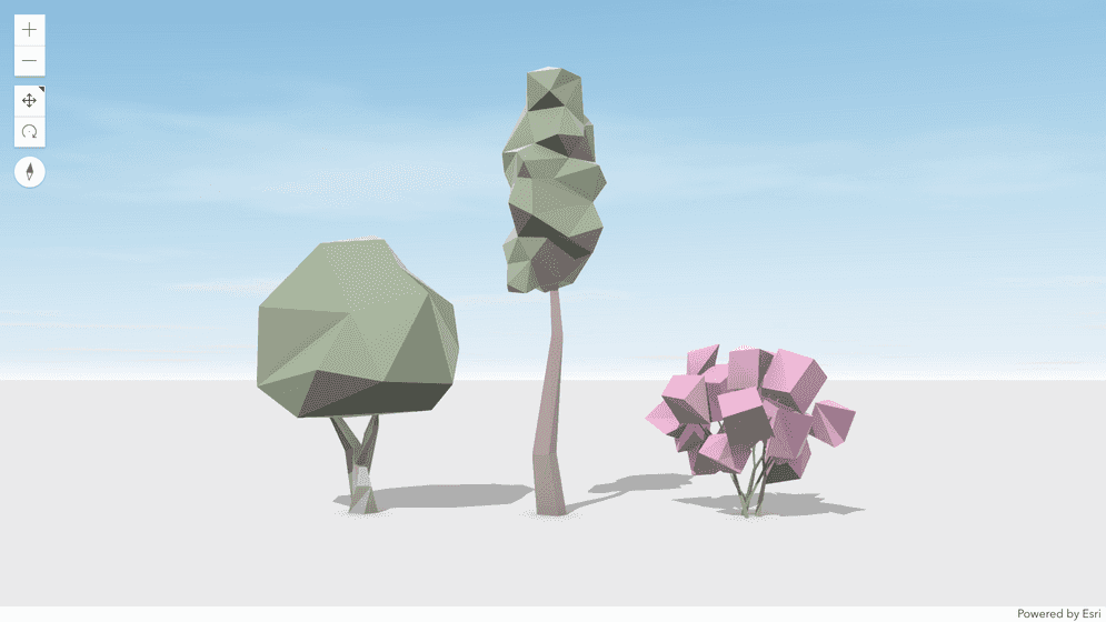
The new National Geographic MapMaker has some unique features for teaching. Use the weather simulation tool in 3D to aide understanding and reduce cognitive load for flooding case studies. Try it for yourself at https://t.co/92wRmaZknk
#EsriUC2023#geographyteacher
#ArcGIS Maps SDK for #JavaScript v4.27 released! It brings related record editing, scene layer editing, 3D basemaps, #real-time stream layer authoring & saving, new widgets and lots more. Check out the release highlights here https://t.co/1JtpleWENG
There are a few capabilities in this #JavaScript#Maps SDK that many of you have been asking for, and several that you didn't know you needed :-) This is a great release!
Oh the places you’ll probably go with version 4.27 of the #ArcGIS Maps SDK for #JavaScript with the fabulous @EsriDevs of #Esri. Read all about it here: https://t.co/FFajxMmXn1
His infectious laugh, on-camera (and off-camera) antics and wealth of knowledge of our game have been part of the fabric of the Blues’ broadcasts for 14 seasons. A great broadcaster and — more importantly — a great person.
Holy Jumpin’, we’re gonna miss you Panger.
Today Major League Baseball commemorates the life of @Yankees great Lou Gehrig.
Learn about his life before #ALS and his @alsassociation journey in the story—Do you know Lou?
Visit the ALS Geospatial Hub to read the story + find resources through #maps: https://t.co/XLum9m8MJv
𝗪𝗵𝗮𝘁 𝗱𝗼 𝘆𝗼𝘂 𝘁𝗵𝗶𝗻𝗸 about our #ArcGIS developer products, APIs, and resources? 👨💻 Please take a few minutes to give us 𝐲𝐨𝐮𝐫 𝐟𝐞𝐞𝐝𝐛𝐚𝐜𝐤 📝 , ideas ❓, critiques, and more. https://t.co/zdJH5G8A3i
In 2016, Pat Dolan was working at as a Solutions Team Lead @esri when he was diagnosed with ALS. Since then he has been an amazing advocate, creating information GIS-based tools to support the community. Congratulations to Pat on his accomplishments. https://t.co/QF7DvgSRI2
Happy Birthday, Jeff!
We would love to see any and all photos/memories you have with Jeff from over the years. Maybe today you could crank some Blue October, Foghat or Live... maybe brake for a turtle today... or go for a run. 'B Like Burton'. #JeffBurtonForever#WeLoveYouJeff
Real-time Situational Awareness
App designed to continuously monitor methane sensors, nearby incidents, vessels and aircraft and analyze risk to facilities and employees.
#Esri Maps SDK for JavaScript and Real-time Analytics.
https://t.co/HSmHrHJs07