I finally put together a full Case Study showing the logic, the code, and the extreme macro-details of how my project works.
You can check out the full visual project on Behance here:
https://t.co/0Zn5heQhuX
#Behance#WallArt#Maps#Typography
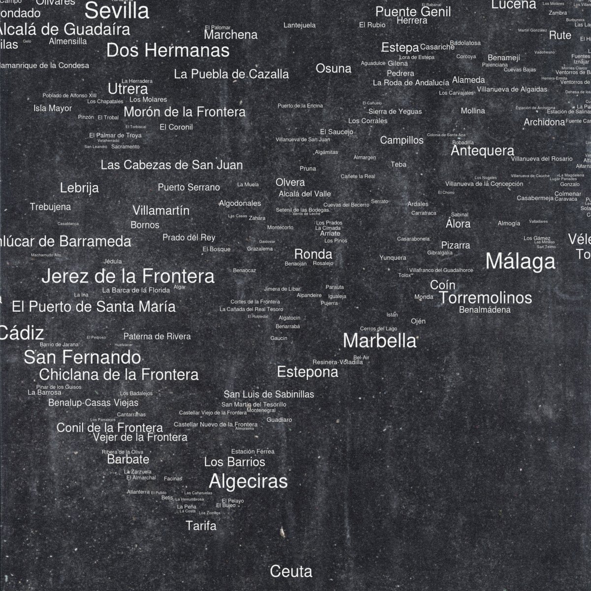
The core rule of the algorithm is "no-overlap." It creates a geographic Tetris where every city and village fights for its space based on population density.
It’s a mix of raw data science and minimalist design. From 19,000 cities in the US to handcrafted vintage maps.
#USA
Typographic map of Aragón, Spain. 490 cities and villages using their exact geographic coordinates.
No borders, no lines, just the human footprint of the region. love how this Noir edition looks in an industrial setting
#Aragon#DataArt#MapArt#InteriorDesign#Zaragoza
What happens when you cross pure geographic data with brutalist graphic design?
It feels less like cartography and more like a vinyl cover for a techno label.
#CreativeArt#España
Typographic map of Australia degrading into pure ASCII noise.
From geographical reality to a digital glitch in 6 seconds 🇦🇺🟩⬛️
#Australia#GenerativeArt#ASCII