Happy #GISDay! We support numerous customers utilizing the power of #GIS. Share your stories here! Don't forget to download and print your posters here: https://t.co/kxS7DrlcYg
Using #MrSID image compression technology, our solutions support our customers in utilizing GIS data far and wide. Take a look. #GISDay https://t.co/5ZLut8oKIm
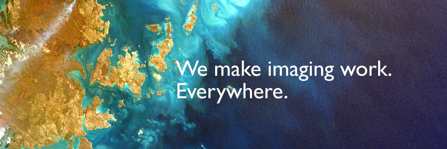
LizardTech and Extensis have united to form one company, combining benefits of #digital#asset management and #image management & compression. Be sure to follow us at @Extensis and learn more at https://t.co/cN6F3RzxbB
LizardTech unites with @extensis as one company, enabling LizardTech customers to fully leverage digital files of all kinds – #satellite & #aerial#imagery, #LiDAR, #photography, other digital assets. https://t.co/cN6F3RzxbB
LizardTech and Extensis have united to form one company, giving #geospatial customers a comprehensive #solution to organize, find and distribute digital #imagery and assets. Learn more from our CEO & be sure to follow @extensis: https://t.co/cN6F3RzxbB
To help support the organizations involved w/ #HurricaneFlorerence disaster response, LizardTech & @Extensis are offering free use of our products which quickly gather & disseminate vital geospatial data quickly. More information can be found here: https://t.co/ZQZqKevRna
There’s still time to find out how LizardTech helps optimize your use of #raster#imagery and #LiDAR#data with GeoExpress 10, Express Server, GeoViewer and Portfolio in booth 731 at #EsriUC2018 - swing by!