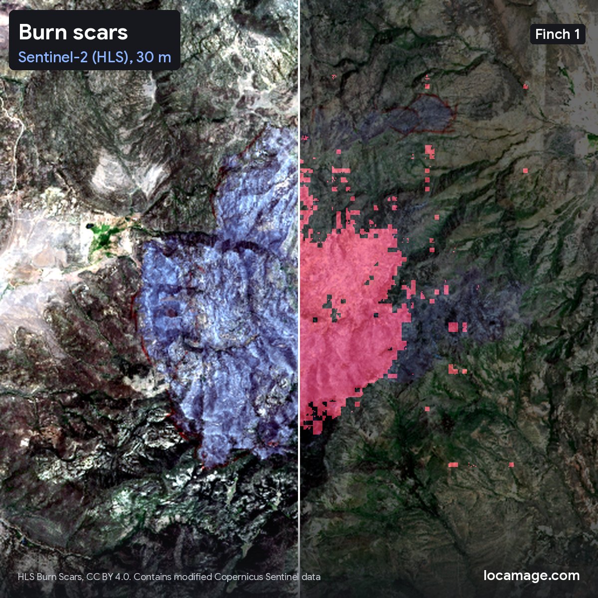
Every example comes from a public benchmark: FLAIR2, SpaceNet2, m-Chesapeake and HLS Burn Scars.
See them all, with a slider between imagery and map: https://t.co/ZYm27RmQRv
Day 2 of Finch 1: what it sees.
Land cover in France, buildings in Khartoum, roads and roofs around the Chesapeake Bay, and a wildfire scar in the US, from 20 cm aerial photos to 30 m satellite imagery.
Every map comes from one frozen model and a single linear layer.
Meet Finch 1, our first step toward one model that works with any sensor, at any resolution, anywhere on Earth.
Trained on imagery from 50+ sensors across satellites, aircraft and drones.
Meet Finch 1, our first step toward one model that works with any sensor, at any resolution, anywhere on Earth.
Trained on imagery from 50+ sensors across satellites, aircraft and drones.
If you are a researcher and want to work with us, email [email protected].
Thanks to a16z Speedrun Alpha (@speedrun) and Google's TPU Research Cloud and TPU Builder Program for supporting this work.