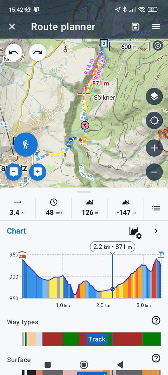
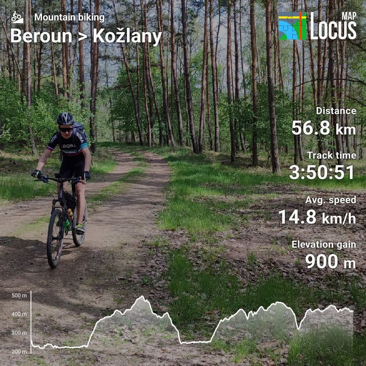
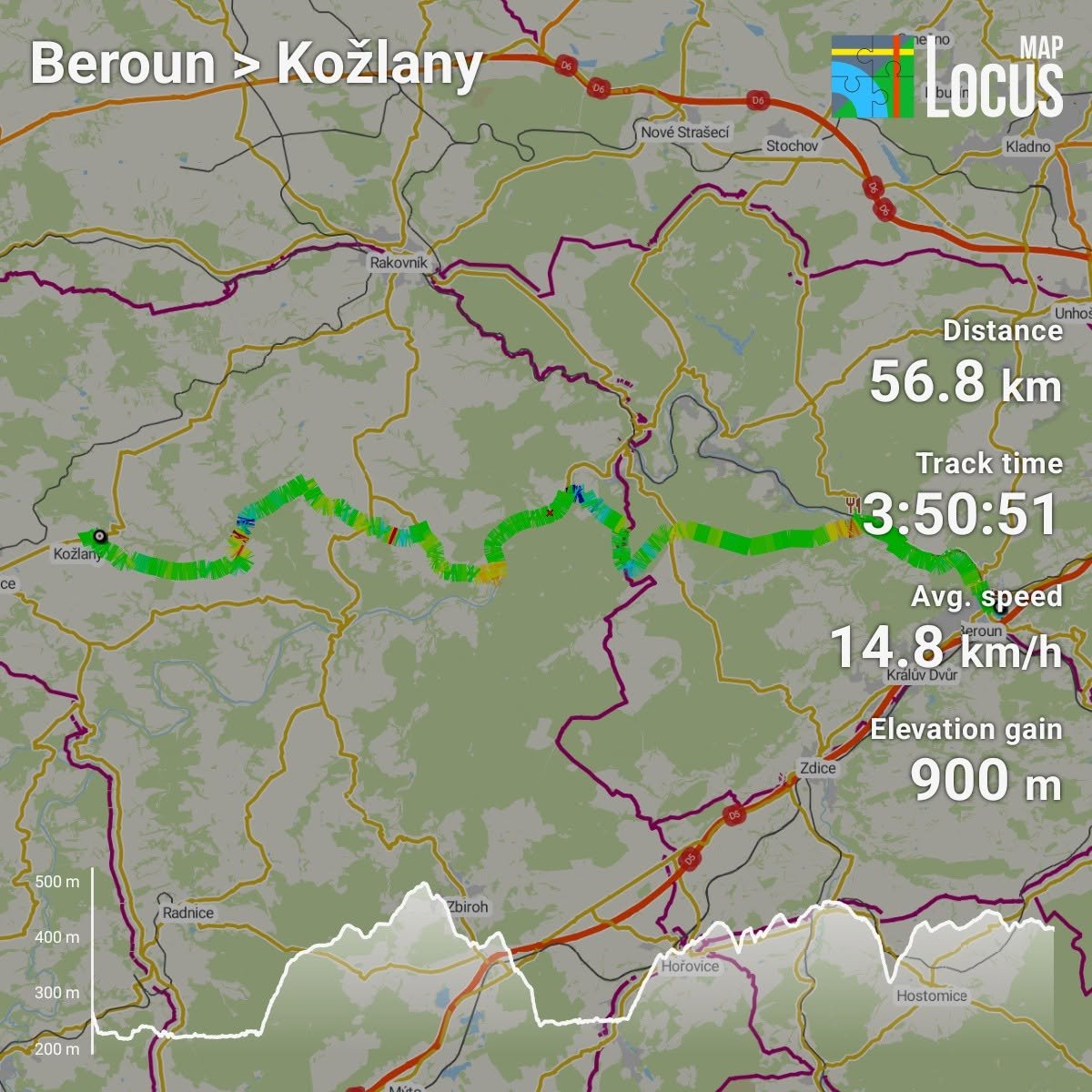
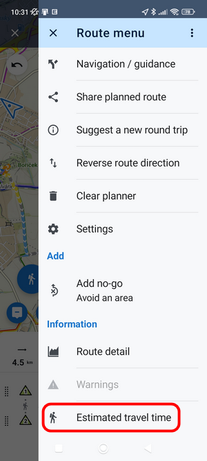
@thecalculover The ETA in the router part is just approximate. If you need a more exact ETA, go to the route menu > estimated travel time. More info: https://t.co/w6HJhR5OyX
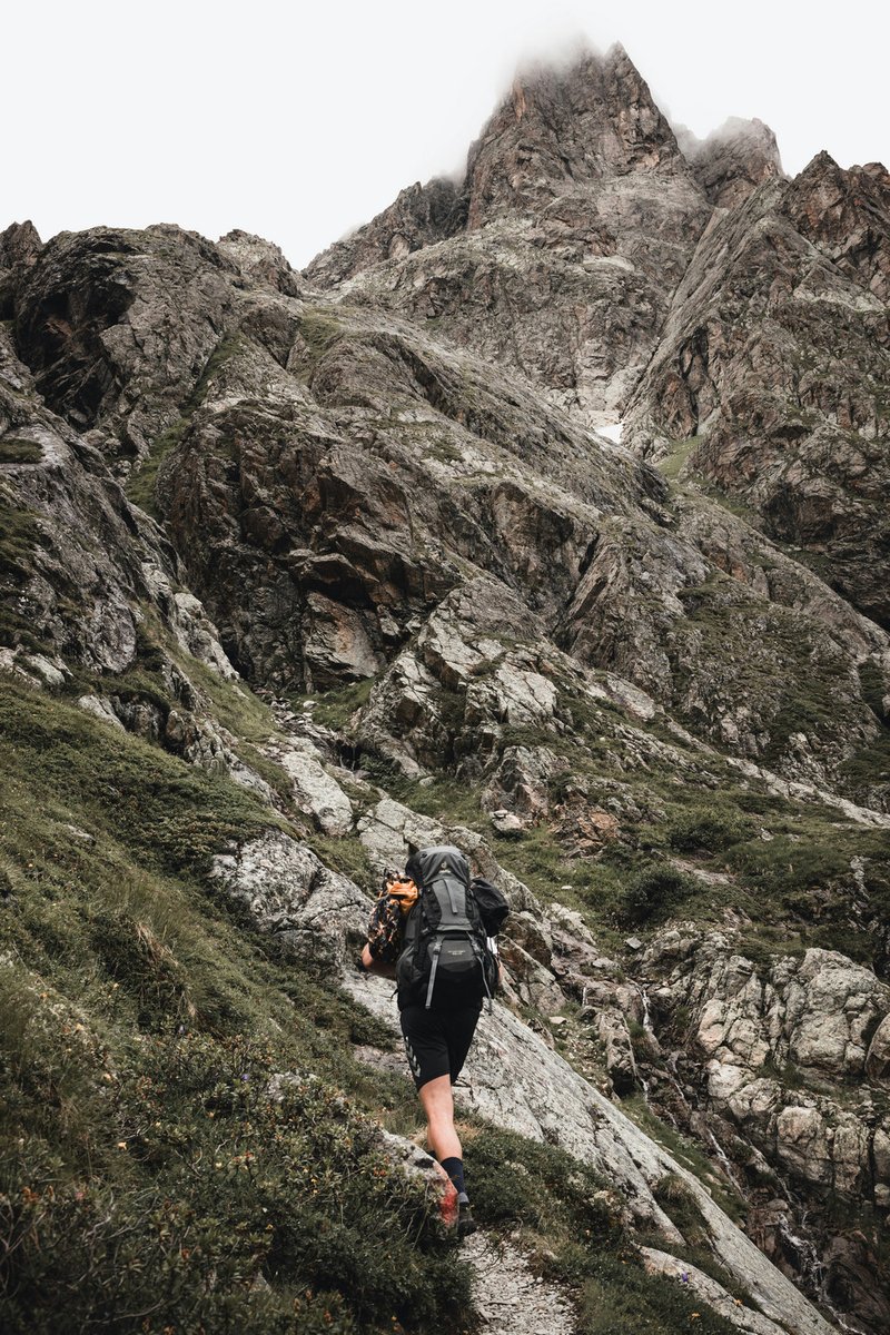
Your estimated time on route is only as good as the speed behind it. 🥾
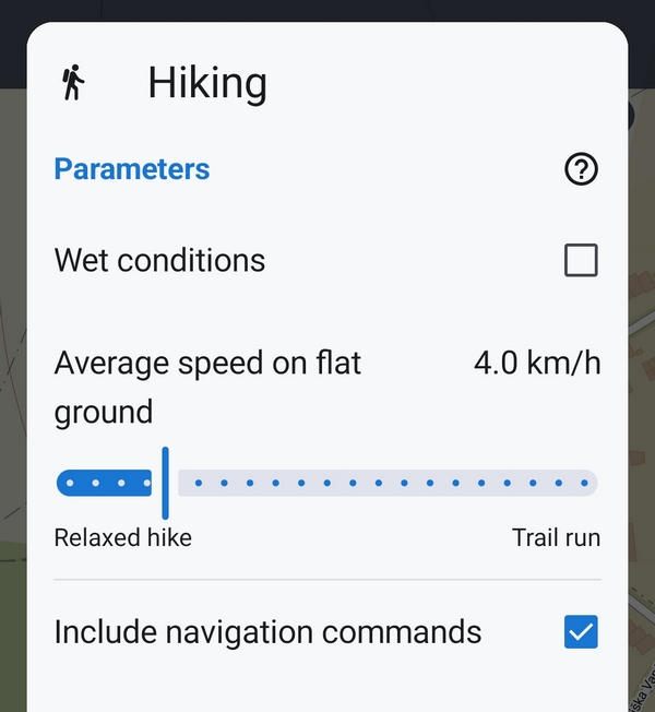
Open a LoRouter walking or hiking profile, set your average speed on flat ground, and Locus Map does the math — climbs and terrain included.
#LocusMap#Hiking
📈 Big update to the web route planner: the elevation chart now shows surfaces, way types and your waypoints — so you know what's underfoot before you set off.
Plan on desktop, sync to your phone.
https://t.co/FUVlCl9yHX
https://t.co/f1AHVR70Tt
#LocusMap
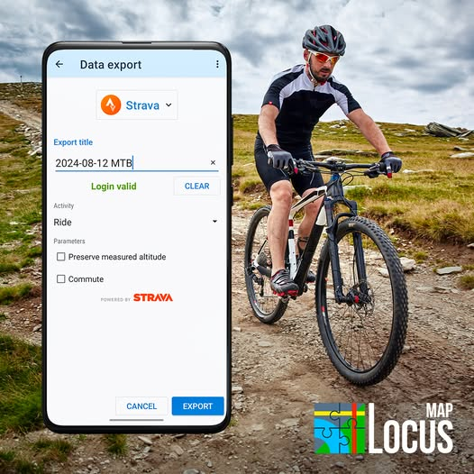
Ride. Stop recording. It's already on Strava. 🚴
Locus Map's automatic export uploads your activity the second you finish — no manual export, no lost rides.
#LocusMap#Strava
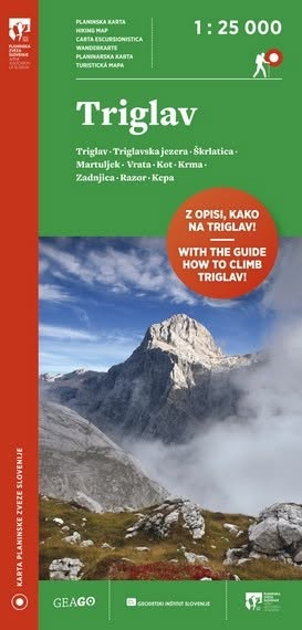
PZS hiking maps — some of the most accurate and readable maps of Slovenia — just a tap away in Locus Map.
Trails, huts, parking, bus stops, crags, paragliding spots and more. Offline, wherever you roam.
#LocusMap#Slovenia#hiking
Want to share your trip as an Instagram-ready photo? 📸 Or show off your latest bike training? Just pick "Image & Stats" in the route sharing menu and you're good to go! 🚴 #LocusMap
Straight lines instead of your actual track? 📉
Turn the screen off, and some phones quietly kill location in the background. Battery optimization is usually to blame — and it's fixable.
How to get Locus Map back on track:
https://t.co/DUCEUvASaJ
#LocusMap#GNSS
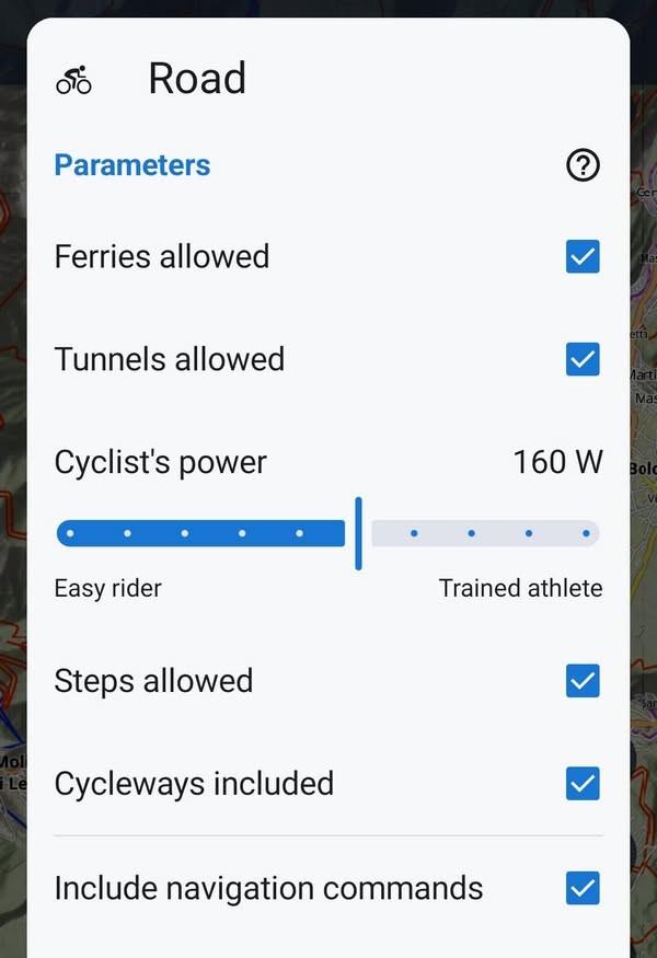
Hey roadies! 🚴 Tried the Road Cycling Profile in the Route Planner? It estimates your ride time based on your cycling power — enter your watts and hit the road knowing exactly how long you'll be out. #LocusMap#RoadCycling
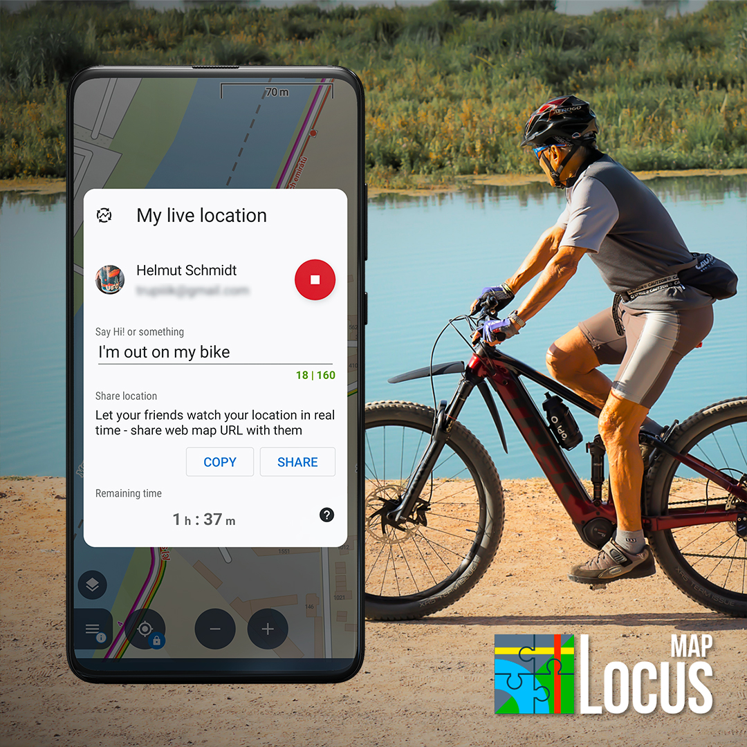
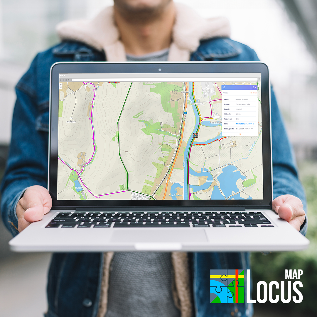
Take your outdoor adventures to the next level with Locus Map Live Tracking! Share your journey in real-time and let your loved ones join in on the fun by seeing exactly where you are. Explore more, worry less, and create unforgettable memories together.
🚵 MTB routing, your way. One slider sets the difficulty — smooth cruise or technical challenge. The second one sets your speed on a flat surface for an accurate ETA. Plan your ride in Locus Map. 🏔️
Found a great guide on using Locus Map for ham radio field ops — SOTA, IOTA, emergency comms — all with offline maps and zero signal needed. We didn't write it, but we love it 📻🗺️https://t.co/Pltce6OlI7
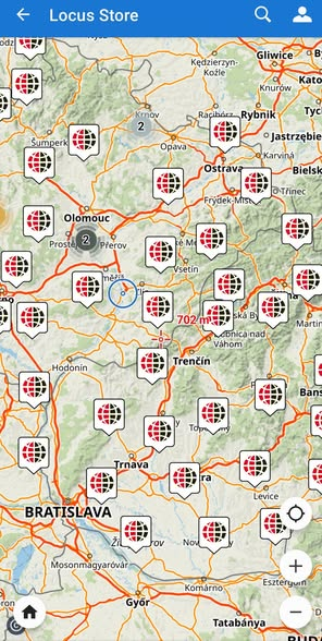
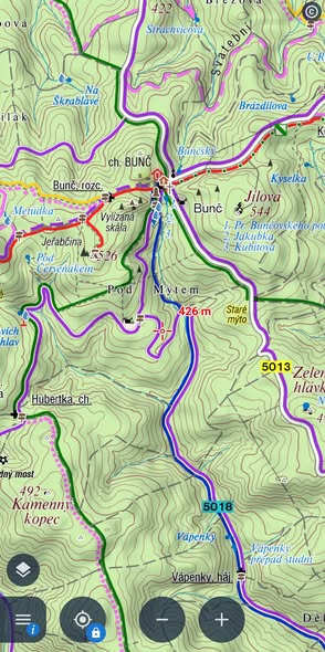
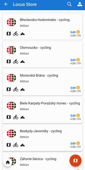
[CZ] Kvalitní mapy českého výrobce SHOCart patří ke klasice našeho portfolia. Kromě skvěle čitelné topo vrstvy se spoustou turistických informací mapy obsahují značené, ale také neznačené doporučené, fyzicky projeté cyklotrasy s klasifikací povrchů. Stahujte z Locus Store!
The road's being rebuilt. Locus Map already knew the shortcut 🛵🗺️
Real footage from a rider in Indonesia (@explorasijalan) — exactly the use case we love seeing.
🎥 https://t.co/nPm9oJWDe3
#LocusMap#Navigation
🗺️ Aktualizacja map Compass w Locus Store!
🔄 Beskid Niski, Bieszczady, Bieszczadzkie pogranicze polsko-słowackie, Góry Stołowe, Góry Wałbrzyskie i Kamienne, Kraków (plan miasta), Pieniny, Puszcza Białowieska
Pobierz aktualizację w Locus Map → Locus Store 🥾
#LocusMap
⚠️ Weird turns or glitchy routes in your plan?
Check your shaping points — they belong between intersections, not on them. Points dropped right on a junction are the usual cause of route glitches and phantom turns.
Nudge them off the crossing and you're set. 🚴🥾 #locusmap4
🏔️ Bike. Hike. Geocache. Plan your whole active vacation in ONE app.
🗺️ Trail maps
💻 Free web route planner
🔗 Share routes with your group
🧭 Geocaching built in
📴 Full offline navigation
Adventure awaits 👇
https://t.co/VdabbCYLiy
Know where he's riding, in real time. 🚴♂️📍
Locus Map's My LIVE Location puts him on your map, moment by moment. Free for 30 min — unlimited with Premium Gold.
#mylivelocation
🐵 Visiting #zoopraha with the kids? Snap a photo of the zoo map, calibrate it in Locus Map, and see exactly where you are—navigate to your favorite animals and find the exit easily! 🤩 #locusmap4#mapcalibration
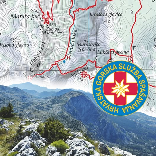
🏔️ Croatia isn't just beaches & the Adriatic — it's mountains too.
Download HGSS maps (made by Croatian Mountain Rescue Service) from the Locus Store: detailed trails, huts & viewpoints across its parks, islands & peaks. 🥾
#Croatia#Hiking
Locus Map on a helicopter? On a fire truck? On a submersible scooter? No problem with its versatility :) Check a few stories about the various bizarre ways our app is used. https://t.co/bFiBzv27ev