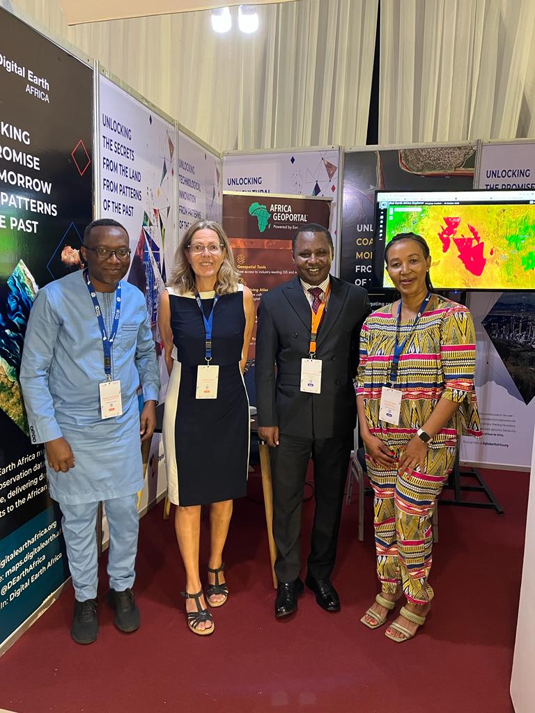
Today a team from @esri paid a courtesy call to @drsrske to discuss potential areas of collaboration for projects and programs that can support DRSRS Mandate through State of the Art GIS technology, capacity building, and DRSRS activities.
#homeofgeospatialdata
Join us tomorrow for a webinar on the use of GIS to expose #foodsecurity issues and help operationalise the humanitarian-peace-development nexus at local scale in northern #Uganda.
📅 Thursday, November 16, 2023
🕒 3pm Central Africa Time
register here: https://t.co/G4eZsvMF6a
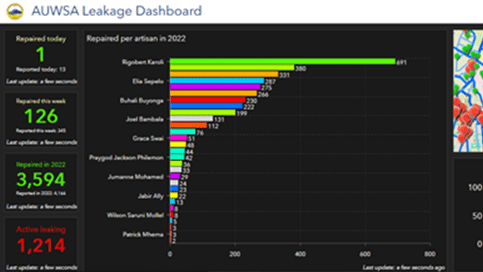
The Arusha Urban Water Supply and Sanitation Authority in Tanzania uses ArcGIS to help reduce pipeline leakages and manage this finite resource more efficiently. https://t.co/00CVLRTiY3. #water#sanitation
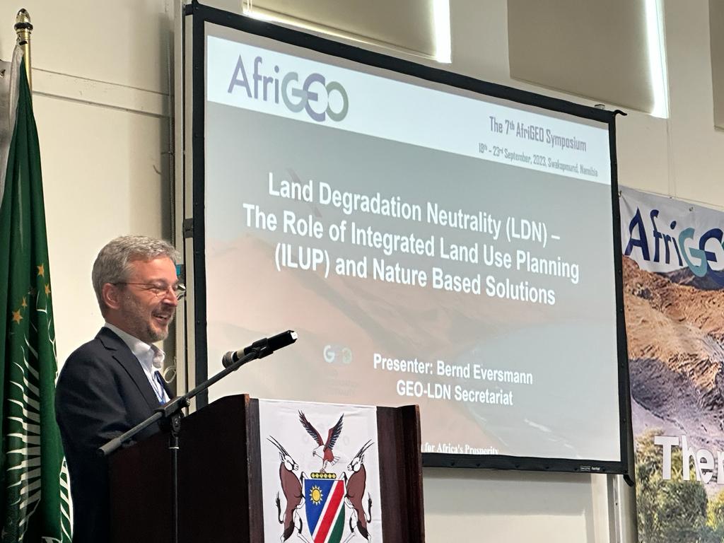
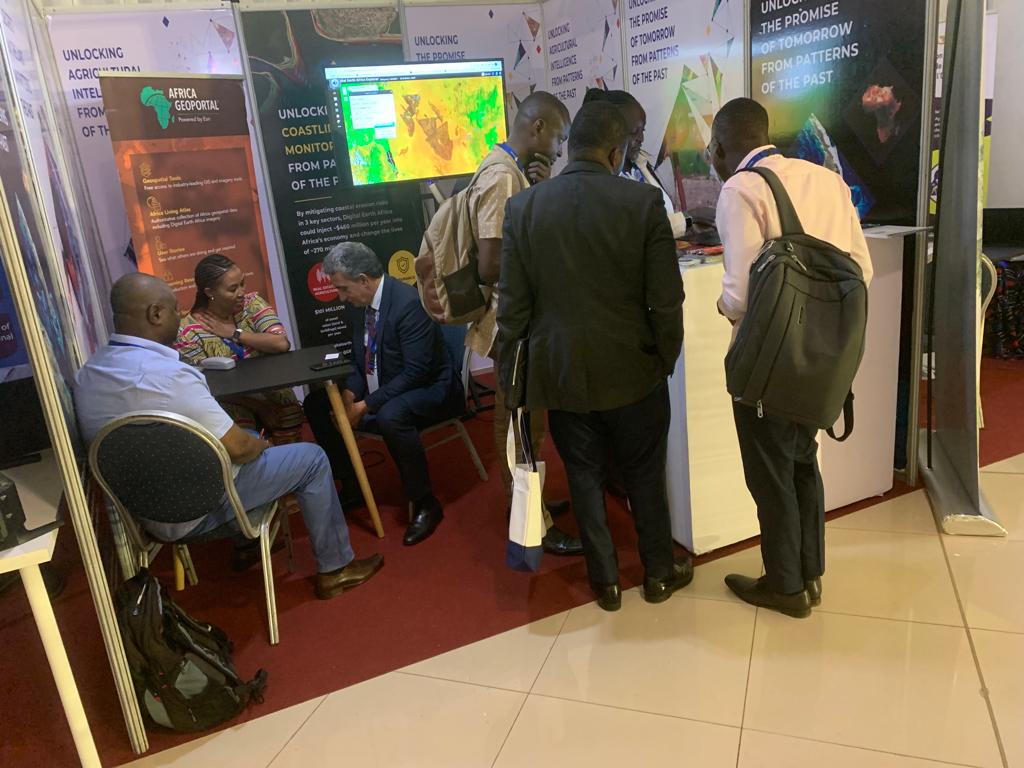
Day 2: Exploring the power of Nature-based Solutions at #7thAfriGeoSymposium! From promoting landscape restoration to utilizing Earth Observation for mangrove forest valuation, this session is all about a greener, more sustainable Africa.
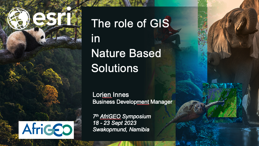
Looking forward to speaking about the role of GIS in Nature Based Solutions at the upcoming #AfriGEO 2023 Symposium in Namibia next week. #spatial#Africa#climatechange
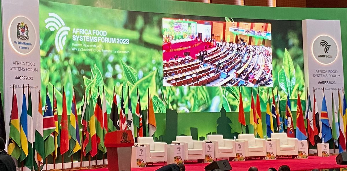
As mentioned by many honourary speakers at #agrf2023, #climatechange is real and impacting agriculture production around the continent. Mapping and understanding the existing agricultural landscape supports mitigation and adaptation.
🥁🥁The speakers for #RIC2023 pre-conference are ready. Have you registered for these sessions? Kindly note that the registration for pre-conference is different from the registration for the main conference.
🎟️Register here and attend for free ➡️https://t.co/5NrlZKtzvp
📡We are 6⃣days away from #RIC2023. Join us for Africa's GIS event of the year and discover the latest innovations in agriculture, biodiversity, land policies and data. 🎟️Register and attend for free. ➡️https://t.co/bsyCzZtMj1
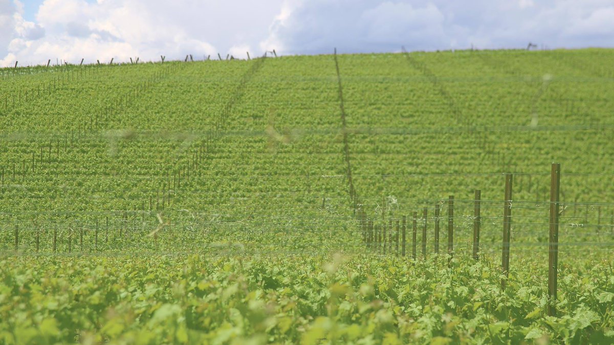
Esri startup @pollen_systems helped Shaw Vineyards with a GIS- and imagery-informed approach to irrigation for managing the effects of highly variable temperatures. https://t.co/E7PMPw2ZHN #EsriPartner
Learn how to prepare and share GIS open data with OpenStreetMap data in ArcGIS. This four-step process, including a link to import guidelines, specifically gives you the steps you need. https://t.co/yfqFYxmT5g
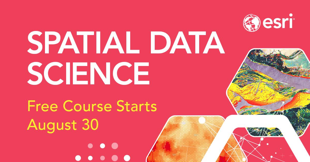
Use location to find patterns and tackle complex problems. Esri's (free) course will teach you how. #spatial#science#GIS Secure your spot: https://t.co/SBiGqVFm3k
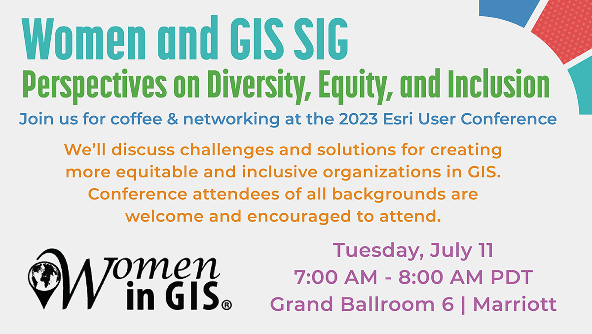
Join @womeningis to discuss #DEI perspectives within the GIS community! The meeting is Tuesday, July 11, 7:00-8:00 AM in Grand Ballroom 6 | Marriott. And yes, coffee will be available. ☕ Conference attendees of all backgrounds welcome! #EsriUC2023
Are you a start-up or entrepreneur in disaster risk reduction, energy & minerals, sustainable development, food security & agriculture, ecosystem services?
Applications for the 2023 Africa Earth Observation Challenge are now open. Enter today!
https://t.co/VT7FiTFtiu #AEOC23
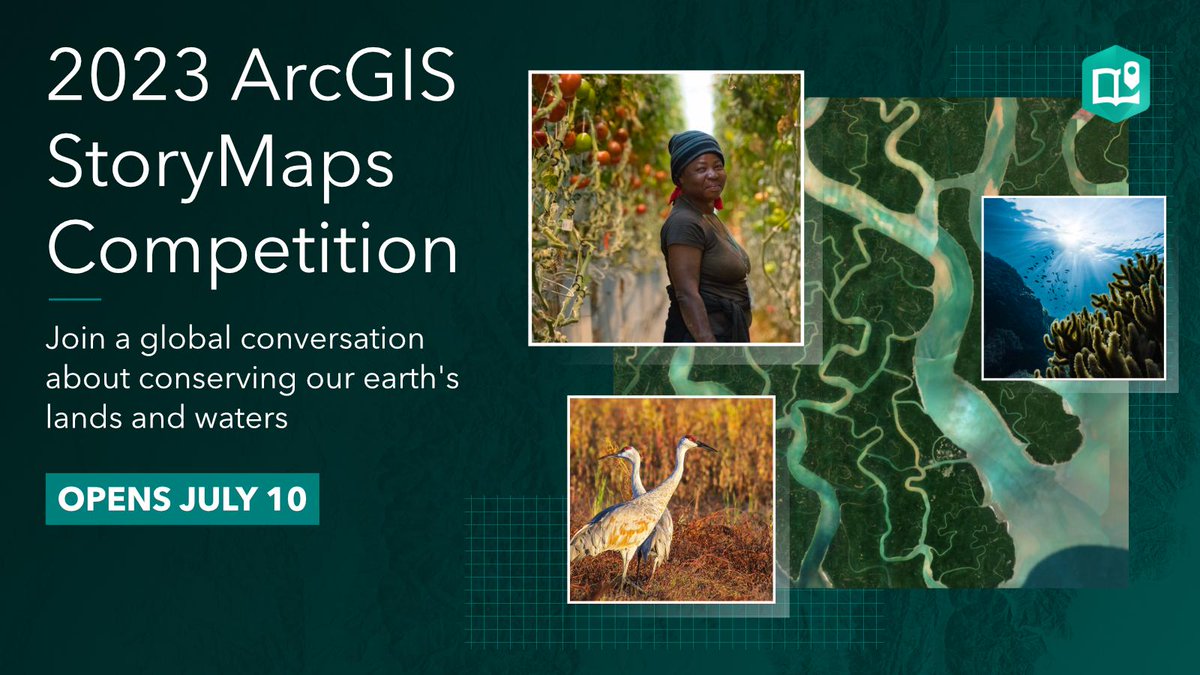
It's that time again! The 2023 ArcGIS #StoryMaps Competition is here and this year's theme is 30x30. Storytellers globally can build a story about conservation, agriculture, climate science, parks and more.
Get started now. Submit your story in July. https://t.co/OYXtuuxysV
Which materials and natural resources make up the products we buy, and how are companies making them more sustainable? WhereNext tackles those questions with Nespresso and others on June 7 https://t.co/07w2Phh7i6
Geospatial apps provide a framework for black rhino conservation management at @Imire_Zimbabwe, leading to successful population management of this endangered species. https://t.co/72JDt0r5QG
Carbon offsets could help the world reach net zero emissions—or they could fill us with false hope. A story about scrutiny and data https://t.co/iRovNQzaIM
Day 3 of the #newspaceconference in #Abidjan and it's been lovely meeting and interacting with our implementing partners and leaders from across the #earthobservation industry.