Day 24 in #30DayMapChallenge Historical Map: History is right under our feet. The red circles indicate remains of tar kilns in Finland: pits where tar was burnt/extracted out of trees. Discovering new sites every day! @MapsNorway @tjukanov read more 👇
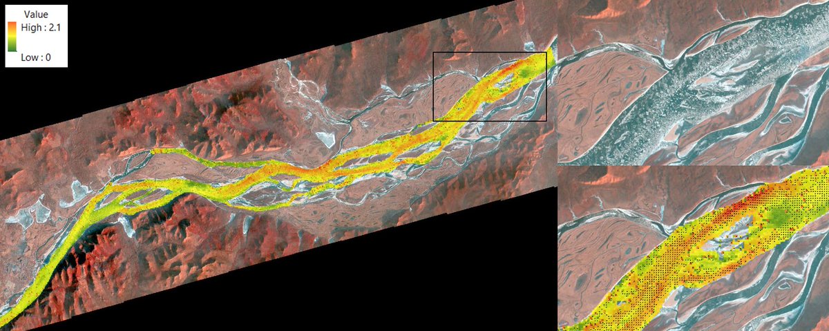
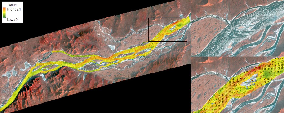
#Day18:Water. Water velocities (m/s) in Amur river (East Russia). Extracted by image correlation from 2 CubeSat #Planet images, 1 minute apart. The movement of the ice blocks floating on the water gives the velocity. #30daysmapchallenge
#Day18:Water. Water velocities (m/s) in Amur river (East Russia). Extracted by image correlation from 2 CubeSat #Planet images, 1 minute apart. The movement of the ice blocks floating on the water gives the velocity. #30daysmapchallange@BlomNorway@tjukanov
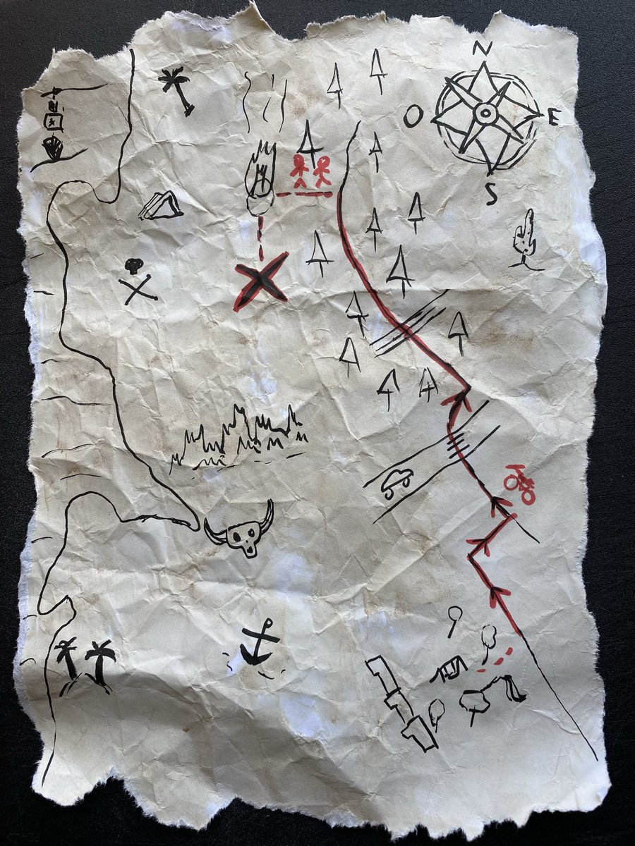
Day 15: Map made without using a computer. Pirate treasure map we "found" in my neighborhood. We found the treasure! ;) #30daysmapchallenge#Danielapirata @MapsNorway @tjukanov
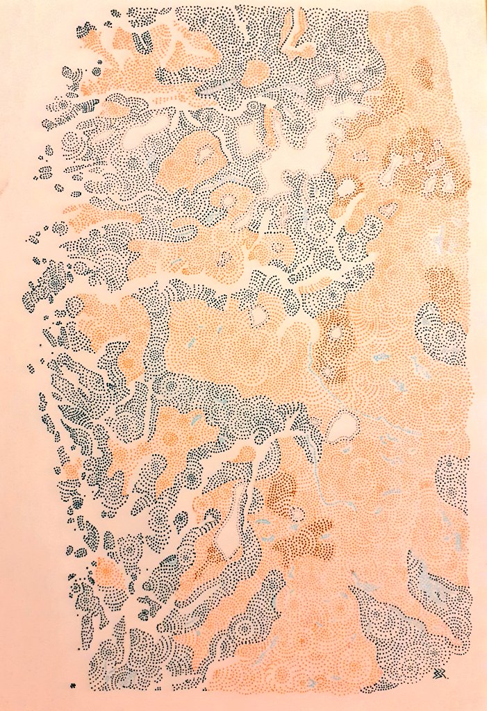
Ma contribution (tardive) au #30daymapchallenge pour le jour #1 : les points. Un #cARTo de la magnifique région du Vestland et ses fjords, ses glaciers 🇳🇴🟠🟢🔵
Day 4: Hexagons #30DayMapChallenge
Automatic counting of seedling trees in #Drone imagery. The purpose is to determine whether enough trees have been planted to secure a good regeneration of the forest. @tjukanov @MapsNorway #forestry@BlomNorway